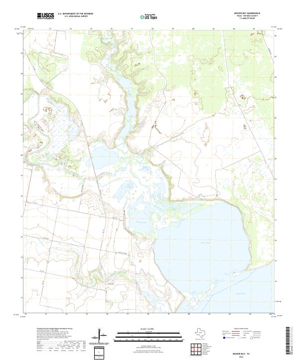
2022 Map of Mission Bay
USGS Topo · Published 2022About this map
Mission Bay and the coastal marshes of Refugio County define this corner of the Texas Gulf Coast, where the Mission River empties into a network of bays and inlets. The landscape is dominated by a complex hydrology of tidewater and freshwater mixing, evidenced by the brackish reaches of Mission Lake and the broader expanse of Copano Bay to the south. Historically significant water sources such as Hynes Springs and the winding Melon Cr feed into this system, creating a delta environment that has long dictated the layout of local infrastructure. To the west, the land rises slightly into a grid of rural roads and family-named routes, including Ermis Rd and Boenig Rd. These pathways, alongside the corridor of Mision River Rd, connect scattered homesteads and pastures to the marshes, tracing the agricultural and ranching heritage of the coastal prairie.
Find a feature on this map
19 named features on this map. Tap any name to fly to it.
Don’t see what you’re looking for? This feature index may not catch every label — zoom into the map to look around manually.
Map Details
Editions of this 2022 Mission Bay Map
This is the sole edition of this map. No revisions or reprints were ever made.
Other maps of this area

1953 · Beeville
USGS Topo · 1:250,000

1954 · Rockport
USGS Topo · 1:62,500

1954 · Woodsboro
USGS Topo · 1:62,500

1954 · Vidaurri
USGS Topo · 1:62,500

1954 · Refugio
USGS Topo · 1:62,500

1956 · Beeville
USGS Topo · 1:250,000

1960 · Beeville
USGS Topo · 1:250,000

1978 · Woodsboro
USGS Topo · 1:24,000
1978 · Twin Mott Lake
USGS Topo · 1:24,000
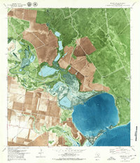
1979 · Mission Bay
USGS Topo · 1:24,000