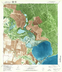
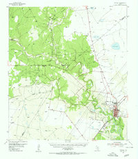
1979 Map of Mission Bay
USGS Topo · Published 1979About this map
The coastal marshes of Refugio County meet the industrial footprint of the Texas Gulf Coast in this late 1970s orthophotomap. The landscape is defined by the winding course of the Mission River as it empties into Mission Lake and the broader expanse of Mission Bay. This survey captures a moment of active resource extraction, dominated by the Melon Creek Oil and Gas Field and a network of pipelines stretching across the coastal prairie. Numerous flowing wells, such as the Estaquillo Well and Telegraph Well, are scattered throughout the northern reaches, while the southern section shows established agricultural patterns near the Cotton Gin and Mullens Bayou. Along the shoreline, low-lying features like Kaiser Flat and Fennessey Flat transition into the shallow waters of Copano Bay, where Copano Reef and Copano Point mark the boundary between land and sea.
Find a feature on this map
28 named features on this map. Tap any name to fly to it.
Don’t see what you’re looking for? This feature index may not catch every label — zoom into the map to look around manually.
Map Details
Editions of this 1979 Mission Bay Map
This is the sole edition of this map. No revisions or reprints were ever made.
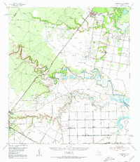
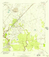
Other maps of this area

1953 · Beeville
USGS Topo · 1:250,000
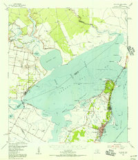
1954 · Rockport
USGS Topo · 1:62,500
1954 · Woodsboro
USGS Topo · 1:62,500
1954 · Vidaurri
USGS Topo · 1:62,500
1954 · Refugio
USGS Topo · 1:62,500

1956 · Beeville
USGS Topo · 1:250,000

1960 · Beeville
USGS Topo · 1:250,000
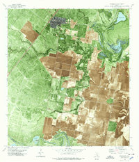
1978 · Woodsboro
USGS Topo · 1:24,000
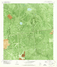
1978 · Twin Mott Lake
USGS Topo · 1:24,000
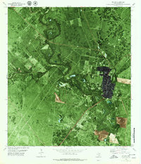
1979 · Refugio
USGS Topo · 1:24,000