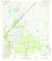
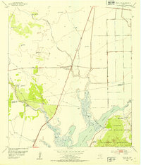
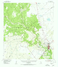
1954 Map of Vidaurri
USGS Topo · Published 1981About this map
The Missouri Pacific railroad cuts a straight line through the coastal prairies of Refugio County, anchoring the small settlement of Vidaurri. This mid-century landscape is defined by its transition from large cattle operations to a intensive petroleum production. The map reveals the sprawling infrastructure of the Greta Oil Field and the West Vidaurri Oil Field, where vast networks of pipelines and tanks intermingle with established ranching properties like Welder Ranch and Lambert Ranch.
Find a feature on this map
33 named features on this map. Tap any name to fly to it.
Don’t see what you’re looking for? This feature index may not catch every label — zoom into the map to look around manually.
Map Details
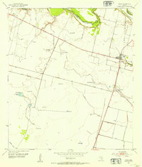
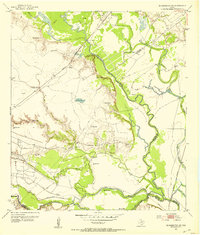
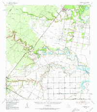
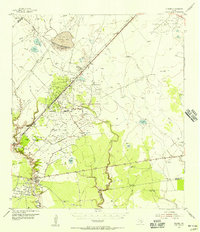
Editions of this 1954 Vidaurri Map
2 editions found
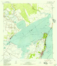
Other maps of this area
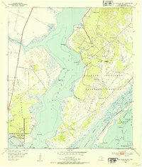
1952 · St. Charles Bay
USGS Topo · 1:24,000
1952 · Tivoli
USGS Topo · 1:24,000
1952 · Bloomington SW
USGS Topo · 1:24,000
1952 · Tivoli SW
USGS Topo · 1:24,000

1953 · Beeville
USGS Topo · 1:250,000
1954 · Rockport
USGS Topo · 1:62,500
1954 · Woodsboro
USGS Topo · 1:62,500
1954 · Vidaurri
USGS Topo · 1:62,500
1954 · Refugio
USGS Topo · 1:62,500

1956 · Beeville
USGS Topo · 1:250,000