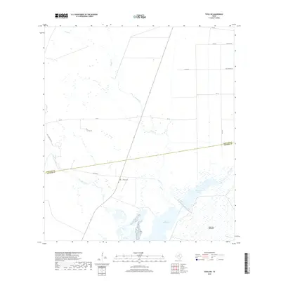
2019 Map of Tivoli SW
USGS Topo · Published 2019About this map
Saint Charles Bay and the surrounding marshlands of the Texas coastal bend define this landscape, where the boundary between Refugio and Aransas counties meets the water. The area is characterized by a complex network of coastal drainages, including the expansive Burgentine Lake and the winding course of Artesian Creek. To the south, the Black Jack Peninsula extends into the bay, serving as a prominent geographical landmark. This 2019 survey documents a sparsely populated rural region dominated by large landholdings and ranching infrastructure, evidenced by roads like Salt Creek Ranch Rd and Zoller Plant Rd. The inland terrain is largely defined by the Salt Creek watershed and the long reach of the Tatton Trail, illustrating the contemporary patterns of land use and maritime access in this low-lying estuary environment.
Find a feature on this map
21 named features on this map. Tap any name to fly to it.
Don’t see what you’re looking for? This feature index may not catch every label — zoom into the map to look around manually.
Map Details
Editions of this 2019 Tivoli SW Map
This is the sole edition of this map. No revisions or reprints were ever made.
Other maps of this area

1952 · St. Charles Bay
USGS Topo · 1:24,000

1952 · Tivoli
USGS Topo · 1:24,000

1952 · Mesquite Bay
USGS Topo · 1:24,000

1952 · Tivoli SE
USGS Topo · 1:24,000

1952 · Austwell
USGS Topo · 1:24,000

1952 · Tivoli SW
USGS Topo · 1:24,000

1953 · Beeville
USGS Topo · 1:250,000

1954 · Rockport
USGS Topo · 1:62,500

1954 · Vidaurri
USGS Topo · 1:62,500

1956 · Beeville
USGS Topo · 1:250,000