Old Maps of Claude, Texas for Academic Research
Study the evolution of Claude with 16 high-resolution historic maps. Whether you're teaching, researching, or modeling changes in land use, these maps provide essential visual documentation of urban, environmental, and geographic change.
- Analyze long-term change: Track patterns in development, transportation, and natural features.
- Ideal for environmental or urban studies: Support academic projects with primary historical map data.
- Use in the classroom or lab: Educators and researchers rely on these maps to bring historical context to life.
These maps are a powerful tool for teaching, research, and visualizing how Claude has changed over the decades.
Claude, TX maps
(16)- 1954 Map of Amarillo, 1966 Print
 1954 Amarillo1966 Print · USGSThe Texas Panhandle in the mid-1960s shows a landscape of rising industrial power and deep-rooted ranching tradition. Local historians can trace the paths of the Panhandle and Santa Fe railroad or locate sites like the Pantex Ordnance Plant and Mobeetie.2 unique versions available
 - 1958 Map of Amarillo
 1958 Amarillo1958 Print · USGSThe Texas Panhandle in the mid-1950s reveals a landscape of expanding military installations and oil-rich rail towns. Local historians can trace the development of Amarillo Air Force Base or locate smaller settlements like Magic City and New Mobeetie.
 - 1960 Map of Claude, 1961 Print
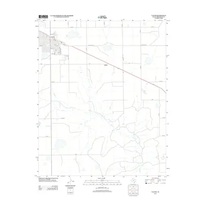
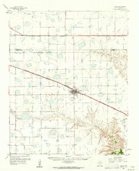 1960 Claude1961 Print · USGSThe Texas Panhandle cattle country around the 1960s is defined here by the confluence of major railroads and the rugged breaks of the Red River. Trace the path of the Burlington line into Claude or locate landmarks like Conway and Mulberry Creek.2 unique versions available
 - 1983 Map of Claude, 1984 Print
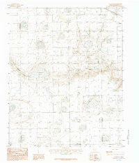
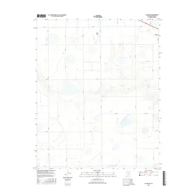
 1983 Claude1984 Print · USGSThe Texas Panhandle plains meet the winding breaks of the Red River watershed in the early 1980s. Local researchers can trace the growth of Claude, the small settlement of Malden, and the rugged course of Mulberry Creek through the local ranchlands.
 - 1983 Map of Claude SW, 1984 Print
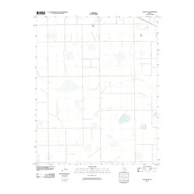
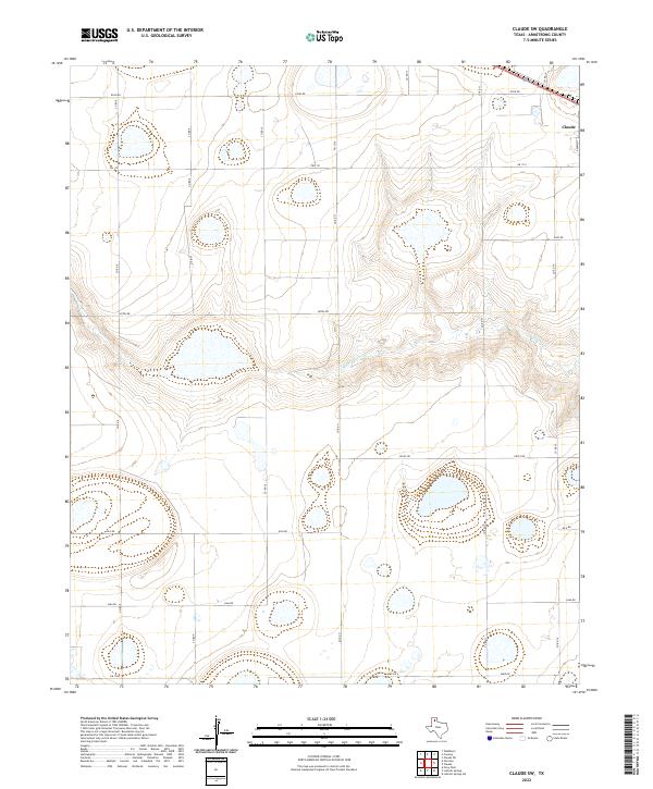
 1983 Claude SW1984 Print · USGSArmstrong County is shown in the early eighties as a landscape of intermittent waters and high plains topography. Researchers can trace the course of Mulberry Creek and the position of Badgley Lake in this precise provisional survey.
 - 1986 Map of Amarillo
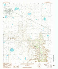
 1986 Amarillo1986 Print · USGSAmarillo and the surrounding Texas Panhandle are captured here in the mid-eighties as a hub of energy, agriculture, and transport. Researchers can trace the sprawling Pantex Plant, the rail-side growth of Panhandle, and the deep cuts of Palo Duro Canyon.2 unique versions available
 - 2010 Map of Claude, 2010 Print
 2010 Claude2010 Print · USGSCovers Claude, including Malden, Armstrong County, and other nearby areas
 - 2010 Map of Claude SW, 2010 Print
 2010 Claude SW2010 Print · USGSCovers Claude, including Armstrong County, United States, and other nearby areas
 - 2012 Map of Claude, 2012 Print
 2012 Claude2012 Print · USGSCovers Claude, including Malden, Armstrong County, and other nearby areas
 - 2012 Map of Claude SW, 2012 Print
 2012 Claude SW2012 Print · USGSCovers Claude, including Armstrong County, United States, and other nearby areas
 - 2016 Map of Claude SW, 2016 Print
 2016 Claude SW2016 Print · USGSCovers Claude, including Armstrong County, United States, and other nearby areas
 - 2016 Map of Claude, 2016 Print
 2016 Claude2016 Print · USGSCovers Claude, including Malden, Armstrong County, and other nearby areas
 - 2019 Map of Claude, 2019 Print
 2019 Claude2019 Print · USGSCovers Claude, including Malden, Armstrong County, and other nearby areas
 - 2019 Map of Claude SW, 2019 Print
 2019 Claude SW2019 Print · USGSCovers Claude, including Armstrong County, United States, and other nearby areas
 - 2022 Map of Claude SW, 2022 Print
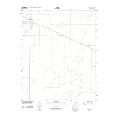
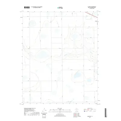
 2022 Claude SW2022 Print · USGSArmstrong County ranching country is shown here in the 2020s as the high plains descend toward the Mulberry Cr drainage. Researchers can trace the modern road network around Claude and identify long-standing rural routes like Hotel Rd and Juliet Rd.
 - 2022 Map of Claude, 2022 Print
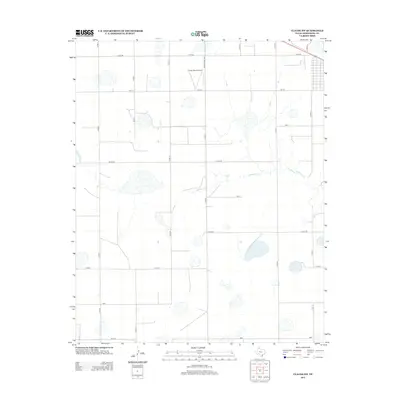
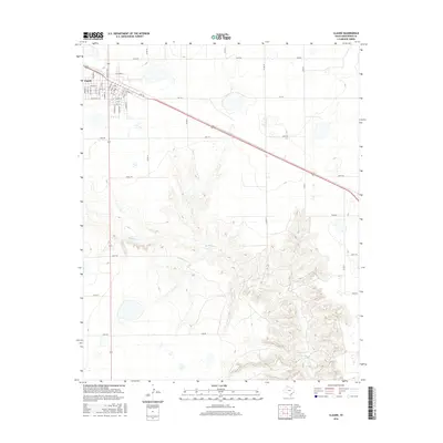
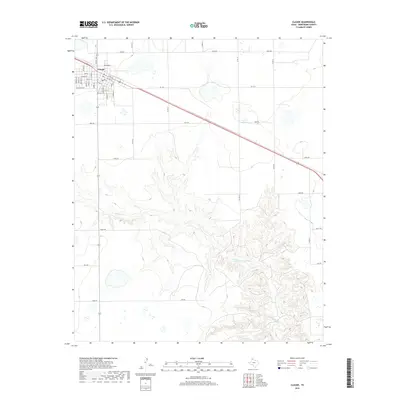
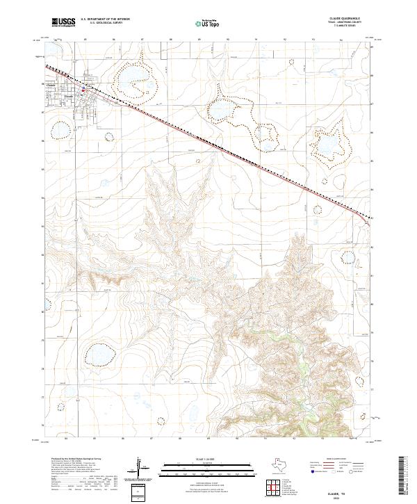 2022 Claude2022 Print · USGSClaude and the high plains of Armstrong County are shown here in the early 2020s, detailing the town street grid and the surrounding ranch land. Local researchers can locate the Armstrong County Courthouse and trace the winding course of Mulberry Cr.
End of results
Showing maps 1-16 of 16
Top cities near Claude
Frequently asked questions
- What are the different types of historical maps available for Claude?
- What is the oldest map of Claude?
- Where can I purchase historical maps of Claude for my home or office?
- Where can I download high-res historical maps of Claude?
- Are there historical topographic maps available for Claude?
- Is there historical aerial imagery available for Claude?
- Where are historical maps of Claude sourced from?