Old Maps of Goodland, Texas for Hiking & Exploration
Hike through history with 10 historic maps of Goodland. Explore old trails, ghost towns, and forgotten backroads — perfect for outdoor adventurers and local explorers.
- Rediscover forgotten places: Map out old mining camps, roads, and footpaths that no longer exist on modern maps.
- Layer with modern tools: Combine with LiDAR or satellite views to plan hikes through historical terrain.
- Made for exploration: Popular among hikers, overlanders, and local history lovers.
Use these maps to find adventure and explore the hidden past of Goodland.
Goodland, TX maps
(10)- 1954 Map of Brownfield, 1975 Print
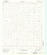
 1954 Brownfield1975 Print · USGSThe High Plains of the Texas-New Mexico border are captured here in the mid-twentieth century, as ranching and oil extraction shaped the Llano Estacado. Genealogists and historians can trace small rural centers like Lums Chapel, Hillburn City, and the Friendship Sch amid a landscape of windmills.2 unique versions available
 - 1958 Map of Brownfield
 1958 Brownfield1958 Print · USGSThe High Plains of the Texas-New Mexico border are captured here during a mid-century oil boom. Genealogists and historians can trace old community sites like Lums Chapel and Tokio alongside the vast Levelland and Slaughter Oil and Gas Field.
 - 1962 Map of Brownfield
 1962 Brownfield1962 Print · USGSThe High Plains of Texas and New Mexico are captured in the early sixties as a thriving hub of oil production and ranching. Researchers can trace the industrial footprint of the Levelland and Slaughter Oil and Gas Field or locate smaller towns like Sundown and Littlefield.
 - 1969 Map of Maple, 1971 Print
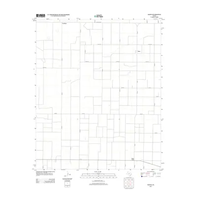
 1969 Maple1971 Print · USGSThe High Plains of West Texas are captured here in the late sixties, showing a landscape defined by systematic ranching and the search for water. Researchers can locate the settlement of Maple, a remote Landing Strip, and the Bailey and Cochran County line.
 - 1985 Map of Levelland, 1986 Print
 1985 Levelland1986 Print · USGSThe West Texas High Plains are captured here in the mid-eighties as oil production and agriculture defined the region's economy. Researchers can trace the sprawling Levelland and Slaughter Oil and Gas Field or locate rural landmarks like Lums Chapel and South Plains College.2 unique versions available
 - 2010 Map of Maple, 2010 Print
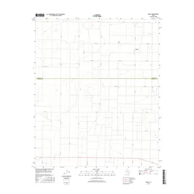
 2010 Maple2010 Print · USGSCovers Goodland, including Maple, Bailey County, and other nearby areas
 - 2012 Map of Maple, 2012 Print
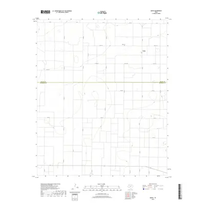
 2012 Maple2012 Print · USGSCovers Goodland, including Maple, Bailey County, and other nearby areas
 - 2016 Map of Maple, 2016 Print
 2016 Maple2016 Print · USGSCovers Goodland, including Maple, Bailey County, and other nearby areas
 - 2019 Map of Maple, 2019 Print
 2019 Maple2019 Print · USGSCovers Goodland, including Maple, Bailey County, and other nearby areas
 - 2022 Map of Maple, 2022 Print
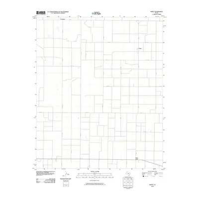
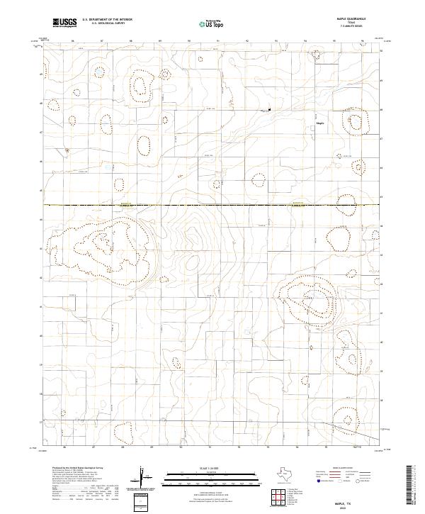 2022 Maple2022 Print · USGSCochran County agriculture and small-town life are preserved in this recent survey of the Texas High Plains. Genealogists can locate family sites near Maple and the Maple Cem, or trace the boundary between Bailey Co and Cochran Co.
End of results
Showing maps 1-10 of 10
Top cities near Goodland
Frequently asked questions
- What are the different types of historical maps available for Goodland?
- What is the oldest map of Goodland?
- Where can I purchase historical maps of Goodland for my home or office?
- Where can I download high-res historical maps of Goodland?
- Are there historical topographic maps available for Goodland?
- Is there historical aerial imagery available for Goodland?
- Where are historical maps of Goodland sourced from?