2000s (21st Century) Maps of Bastrop, Texas
Explore 15 historic maps of Bastrop from the 2000s (21st Century). These maps offer a rare glimpse into what life looked like during the 2000s — showing old roads, neighborhoods, homes, and landmarks that have changed or disappeared over time.
Whether you're researching your family's past, planning a metal detecting trip, or studying how Bastrop's landscape evolved across the 2000s, these high-resolution maps are a powerful tool for exploring the history of this region.
- Focus on a specific era: All maps on this page are from the 2000s, giving you a focused view of this time period.
- See what’s changed: Compare century-old streets, trails, and buildings to today's modern landscape using overlays and satellite layers.
- Research with precision: Use these maps for genealogy, historical research, land use analysis, or educational projects.
- View, download, or print: Maps are fully viewable online in high resolution, and can be downloaded or printed for your own records.
Start exploring Bastrop's history through authentic maps from the 2000s. This is your window into the past.
Bastrop, TX maps
(15)- 2010 Map of Bastrop, 2010 Print
 2010 Bastrop2010 Print · USGSCovers Bastrop, including Hills Prairie, Lone Star, and other nearby areas
 - 2010 Map of Bastrop SW, 2010 Print
 2010 Bastrop SW2010 Print · USGSCovers Bastrop, including Shiloh, Otis, and other nearby areas
 - 2010 Map of Lake Bastrop, 2010 Print
 2010 Lake Bastrop2010 Print · USGSCovers Bastrop, including Calvin, Dunstan, and other nearby areas
 - 2012 Map of Bastrop SW, 2012 Print
 2012 Bastrop SW2012 Print · USGSCovers Bastrop, including Shiloh, Otis, and other nearby areas
 - 2013 Map of Bastrop, 2013 Print
 2013 Bastrop2013 Print · USGSCovers Bastrop, including Hills Prairie, Lone Star, and other nearby areas
 - 2013 Map of Lake Bastrop, 2013 Print
 2013 Lake Bastrop2013 Print · USGSCovers Bastrop, including Calvin, Dunstan, and other nearby areas
 - 2016 Map of Lake Bastrop, 2016 Print
 2016 Lake Bastrop2016 Print · USGSCovers Bastrop, including Calvin, Dunstan, and other nearby areas
 - 2016 Map of Bastrop, 2016 Print
 2016 Bastrop2016 Print · USGSCovers Bastrop, including Hills Prairie, Lone Star, and other nearby areas
 - 2016 Map of Bastrop SW, 2016 Print
 2016 Bastrop SW2016 Print · USGSCovers Bastrop, including Shiloh, Otis, and other nearby areas
 - 2019 Map of Bastrop SW, 2019 Print
 2019 Bastrop SW2019 Print · USGSCovers Bastrop, including Shiloh, Otis, and other nearby areas
 - 2019 Map of Bastrop, 2019 Print
 2019 Bastrop2019 Print · USGSCovers Bastrop, including Hills Prairie, Lone Star, and other nearby areas
 - 2019 Map of Lake Bastrop, 2019 Print
 2019 Lake Bastrop2019 Print · USGSCovers Bastrop, including Calvin, Dunstan, and other nearby areas
 - 2022 Map of Lake Bastrop, 2022 Print
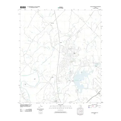
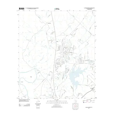
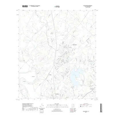
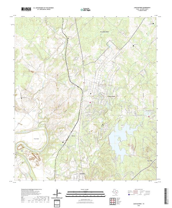 2022 Lake Bastrop2022 Print · USGSThe Colorado River and Lake Bastrop anchor this study of the landscape north of the county seat in the early twenty-first century. Family researchers can locate numerous burial sites including Phelan Cem, Herron Family Cem, and Magdalene Cem near the historic grounds of Camp Swift.
 - 2022 Map of Bastrop, 2022 Print
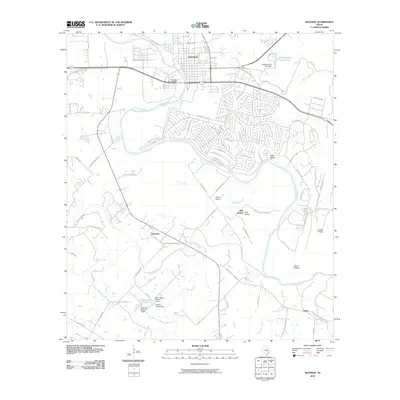
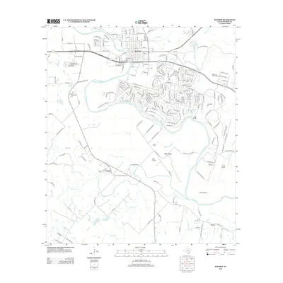
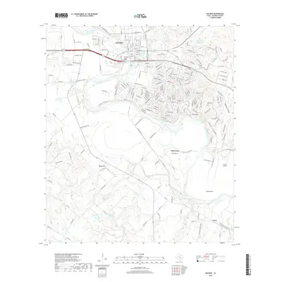
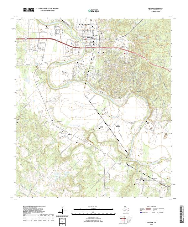 2022 Bastrop2022 Print · USGSThe Colorado River corridor near Bastrop is captured in the early 2020s, showing a landscape defined by its river-bend settlements and deep-rooted community cemeteries. Genealogists can trace family landmarks like Trigg Cem, Higgins Cem, and the Bastrop County Courthouse.
 - 2022 Map of Bastrop SW, 2022 Print
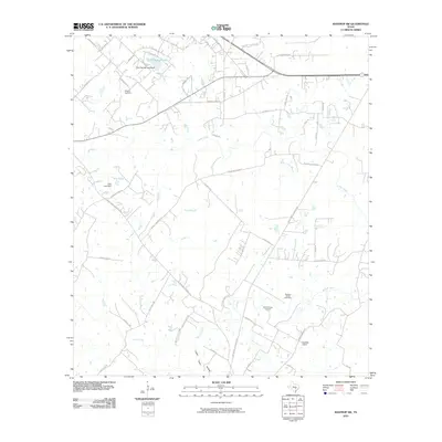
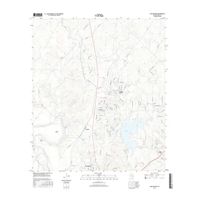
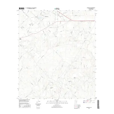
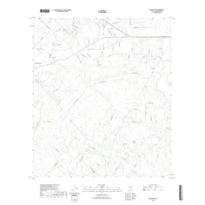
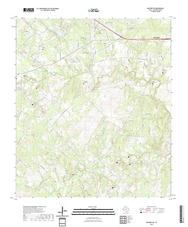 2022 Bastrop SW2022 Print · USGSBastrop County’s rural character and family history are preserved here in the early twenty-first century. Genealogists can trace family burial sites like Alexander Eldridge Cem, Wolfenberger Cem, and Shiloh Community Cem along the Walnut Cr drainage.
End of results
Showing maps 1-15 of 15
Top cities near Bastrop
- Austin historical maps
- Manor historical maps
- Elgin historical maps
- Smithville historical maps
- Circle D-KC Estates historical maps
- Rosanky historical maps
See more
Top neighborhoods of Bastrop
Frequently asked questions
- What are the different types of historical maps available for Bastrop?
- What is the oldest map of Bastrop?
- Where can I purchase historical maps of Bastrop for my home or office?
- Where can I download high-res historical maps of Bastrop?
- Are there historical topographic maps available for Bastrop?
- Is there historical aerial imagery available for Bastrop?
- Where are historical maps of Bastrop sourced from?