Old Maps of Bastrop, Texas for Academic Research
Study the evolution of Bastrop with 25 high-resolution historic maps. Whether you're teaching, researching, or modeling changes in land use, these maps provide essential visual documentation of urban, environmental, and geographic change.
- Analyze long-term change: Track patterns in development, transportation, and natural features.
- Ideal for environmental or urban studies: Support academic projects with primary historical map data.
- Use in the classroom or lab: Educators and researchers rely on these maps to bring historical context to life.
These maps are a powerful tool for teaching, research, and visualizing how Bastrop has changed over the decades.
Bastrop, TX maps
(25)- 1885 Map of Bastrop
 1885 Bastrop1885 Print · USGSCentral Texas was undergoing a rail-driven transformation in the late nineteenth century as steam power connected the frontier to the Gulf. Genealogists can trace family names and old homesites near Rice's Crossing, Hills Prairie, and along the vital Houston and Texas Central Railroad.
 - 1893 Map of Bastrop
 1893 Bastrop1893 Print · USGSBastrop and the Colorado River valley are captured here in the late nineteenth century as the railroad transformed the Texas interior. Researchers can trace early property lines and community centers like Lexington, McDade, and the high vistas of the Yegua Knobs.
 - 1904 Map of Bastrop
 1904 Bastrop1904 Print · USGSBastrop and Smithville thrive along the Colorado River at the turn of the century, serving as vital hubs for the Texas interior. Trace ancestral roots and old transport routes through Nashs Ferry, the Coal Mine near Sayersville, and Colorado Chapel.3 unique versions available
 - 1948 Map of Bastrop, 1972 Print
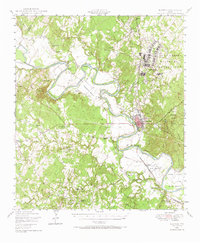 1948 Bastrop1972 Print · USGSBastrop and its winding river bends are captured here in the late 1940s as the military and oil industries integrated with rural farming life. Trace the footprints of the Camp Swift Military Reservation or locate family sites at Bartons Farm, Woods Cem, and Shiloh Sch.
 - 1950 Map of Bastrop
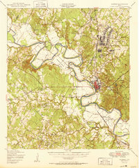 1950 Bastrop1950 Print · USGSThe Colorado River valley around the turn of the decade is defined by sprawling military infrastructure and tight-knit farming communities. Researchers can trace the heritage of Bastrop and Sayersville or locate family landmarks like Burleson Cem and Union Hill Sch.
 - 1954 Map of Austin, 1964 Print
 1954 Austin1964 Print · USGSCentral Texas is captured during a period of steady growth as the capital city and its neighboring farm towns began to modernize. Researchers can trace historic rail corridors like the Southern Pacific RR or locate landmarks such as Bergstrom Air Force Base and Pilot Knob.4 unique versions available
 - 1982 Map of Lake Bastrop
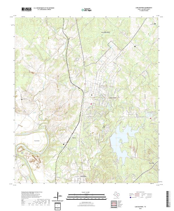
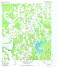 1982 Lake Bastrop1982 Print · USGSBastrop and its northern hinterlands are shown here in the early eighties, as the region balanced its military heritage with growing utility and recreation sectors. Genealogists can locate family sites like Oak Hill Cem, the Greenbriar Free Sch, and the old Sayersville settlement.2 unique versions available
 - 1982 Map of Bastrop
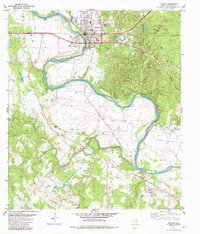 1982 Bastrop1982 Print · USGSBastrop and the Colorado River valley are captured in the early eighties as the town grew alongside its railway and parklands. Family historians can locate several rural burial grounds like Trigg Cem and old church sites including Antioch Ch and Hill Prairie Ch.3 unique versions available
 - 1982 Map of Bastrop SW
 1982 Bastrop SW1982 Print · USGSBastrop County in the early eighties was a landscape of rural family settlements and growing energy production. Genealogists can trace deep local roots at the Alexander-Eldridge Cem, Union Chapel, and the historic crossroads of Cedar Creek.
 - 1985 Map of Austin
 1985 Austin1985 Print · USGSCentral Texas in the mid-eighties reveals a region in transition, balancing rapid urban growth in Austin with deep-rooted rural landscapes. Genealogists and historians can trace family locations near St Johns Ch, the Science Hall schoolhouse, and long-standing communities like Webberville and Manchaca.3 unique versions available
 - 2010 Map of Bastrop, 2010 Print
 2010 Bastrop2010 Print · USGSCovers Bastrop, including Hills Prairie, Lone Star, and other nearby areas
 - 2010 Map of Bastrop SW, 2010 Print
 2010 Bastrop SW2010 Print · USGSCovers Bastrop, including Shiloh, Otis, and other nearby areas
 - 2010 Map of Lake Bastrop, 2010 Print
 2010 Lake Bastrop2010 Print · USGSCovers Bastrop, including Calvin, Dunstan, and other nearby areas
 - 2012 Map of Bastrop SW, 2012 Print
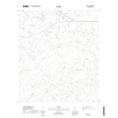
 2012 Bastrop SW2012 Print · USGSCovers Bastrop, including Shiloh, Otis, and other nearby areas
 - 2013 Map of Bastrop, 2013 Print
 2013 Bastrop2013 Print · USGSCovers Bastrop, including Hills Prairie, Lone Star, and other nearby areas
 - 2013 Map of Lake Bastrop, 2013 Print
 2013 Lake Bastrop2013 Print · USGSCovers Bastrop, including Calvin, Dunstan, and other nearby areas
 - 2016 Map of Lake Bastrop, 2016 Print
 2016 Lake Bastrop2016 Print · USGSCovers Bastrop, including Calvin, Dunstan, and other nearby areas
 - 2016 Map of Bastrop, 2016 Print
 2016 Bastrop2016 Print · USGSCovers Bastrop, including Hills Prairie, Lone Star, and other nearby areas
 - 2016 Map of Bastrop SW, 2016 Print
 2016 Bastrop SW2016 Print · USGSCovers Bastrop, including Shiloh, Otis, and other nearby areas
 - 2019 Map of Bastrop SW, 2019 Print
 2019 Bastrop SW2019 Print · USGSCovers Bastrop, including Shiloh, Otis, and other nearby areas
 - 2019 Map of Bastrop, 2019 Print
 2019 Bastrop2019 Print · USGSCovers Bastrop, including Hills Prairie, Lone Star, and other nearby areas
 - 2019 Map of Lake Bastrop, 2019 Print
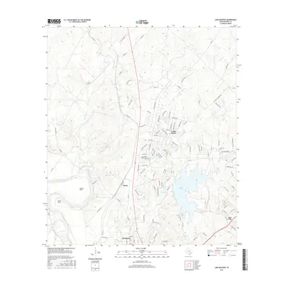
 2019 Lake Bastrop2019 Print · USGSCovers Bastrop, including Calvin, Dunstan, and other nearby areas
 - 2022 Map of Lake Bastrop, 2022 Print
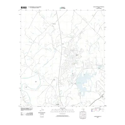
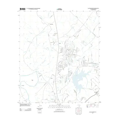
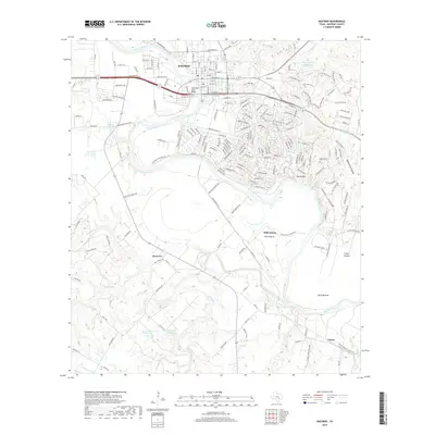
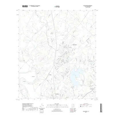
 2022 Lake Bastrop2022 Print · USGSThe Colorado River and Lake Bastrop anchor this study of the landscape north of the county seat in the early twenty-first century. Family researchers can locate numerous burial sites including Phelan Cem, Herron Family Cem, and Magdalene Cem near the historic grounds of Camp Swift.
 - 2022 Map of Bastrop, 2022 Print
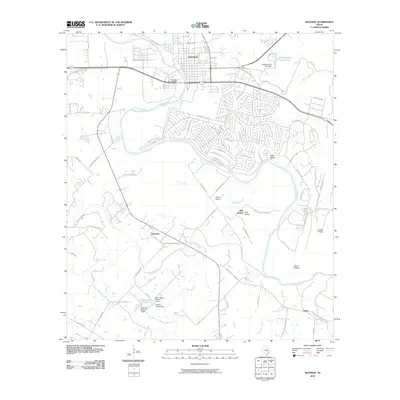
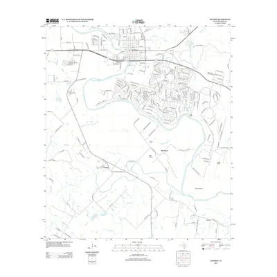
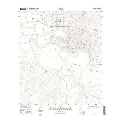
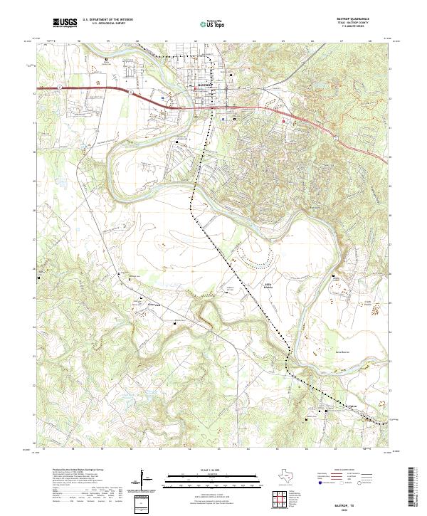 2022 Bastrop2022 Print · USGSThe Colorado River corridor near Bastrop is captured in the early 2020s, showing a landscape defined by its river-bend settlements and deep-rooted community cemeteries. Genealogists can trace family landmarks like Trigg Cem, Higgins Cem, and the Bastrop County Courthouse.
 - 2022 Map of Bastrop SW, 2022 Print
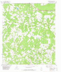
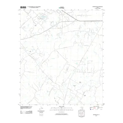
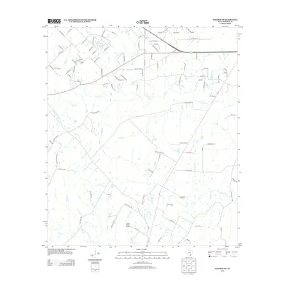
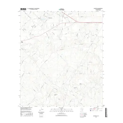
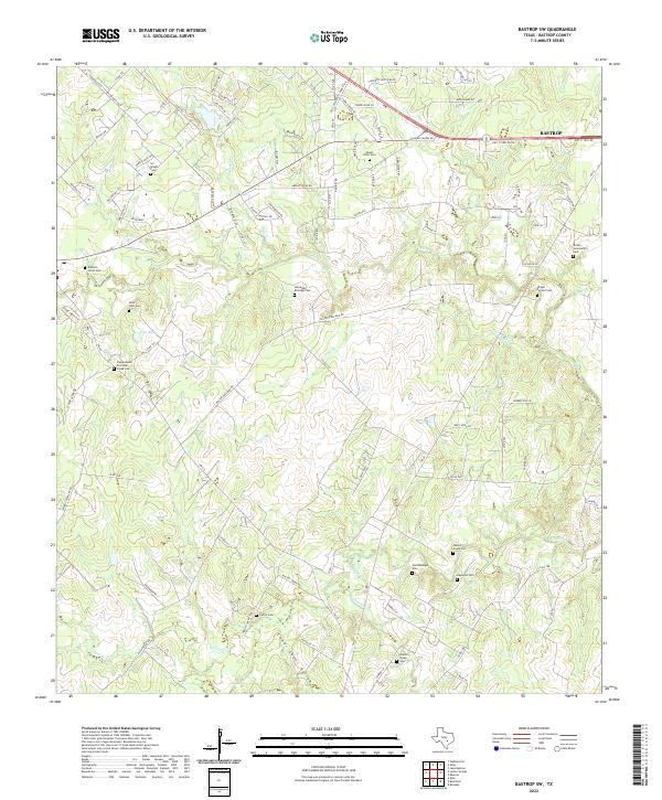 2022 Bastrop SW2022 Print · USGSBastrop County’s rural character and family history are preserved here in the early twenty-first century. Genealogists can trace family burial sites like Alexander Eldridge Cem, Wolfenberger Cem, and Shiloh Community Cem along the Walnut Cr drainage.
End of results
Showing maps 1-25 of 25
Top cities near Bastrop
- Austin historical maps
- Manor historical maps
- Elgin historical maps
- Smithville historical maps
- Circle D-KC Estates historical maps
- Rosanky historical maps
See more
Top neighborhoods of Bastrop
Frequently asked questions
- What are the different types of historical maps available for Bastrop?
- What is the oldest map of Bastrop?
- Where can I purchase historical maps of Bastrop for my home or office?
- Where can I download high-res historical maps of Bastrop?
- Are there historical topographic maps available for Bastrop?
- Is there historical aerial imagery available for Bastrop?
- Where are historical maps of Bastrop sourced from?