Old Maps of Little River-Academy, Texas for Metal Detecting
Plan your next treasure hunt with 28 historic maps of Little River-Academy. Find old homesites, ghost towns, trails, and gathering spots that may be lost to time — perfect for identifying promising metal detecting locations.
- Locate forgotten sites: Uncover places like long-lost settlements, abandoned rail lines, or gathering spots.
- Plan better hunts: Use map overlays combined with LiDAR or satellite views to narrow in on historically rich areas.
- Made for detectorists: Thousands of hobbyists use these maps to discover relics, coins, and hidden history.
Use these historic maps to boost your research and find new opportunities beneath the surface of Little River-Academy.
Little River-Academy, TX maps
(28)- 1885 Map of Taylor
 1885 Taylor1885 Print · USGSCentral Texas in the late nineteenth century was a landscape in transition as railroads redefined the old cotton frontier. Genealogists and historians can trace the early growth of rail towns like Taylor and Granger, or find vanished rural outposts such as Ad Hall and Davilla.
 - 1887 Map of Taylor
 1887 Taylor1887 Print · USGSCentral Texas is captured in the late nineteenth century as the railroad began to redefine the blackland prairie. Genealogists can locate early settlements like Davilla and Granger or trace family lands near the San Gabriel River and Taylor.
 - 1892 Map of Temple
 1892 Temple1892 Print · USGSTexas at the turn of the century shows a landscape defined by emerging railroad junctions and river settlements. Genealogists can trace early homesteads and rail-town growth in Temple, McGregor, and Belton near the banks of the Leon River.6 unique versions available
 - 1894 Map of Taylor, 1902 Print
 1894 Taylor1902 Print · USGSCentral Texas at the end of the nineteenth century was a landscape of expanding rail lines and established river settlements. Genealogists and historians can trace the growth of Taylor and Granger, or locate smaller junctions like Ad Hall and Buckholts along the Gulf Colorado and Santa Fe Railroad.4 unique versions available
 - 1931 Map of Belton, 1949 Print
 1931 Belton1949 Print · USGSBell County in the 1920s and 30s reveals a landscape of river-valley farming and bustling railroad junctions centered on the county seat. Genealogists and historians can trace early community life through numerous rural landmarks like Moffat Sch, Tennessee Valley Ch, and the Belton and Temple Electric R R.
 - 1954 Map of Waco, 1964 Print
 1954 Waco1964 Print · USGSCentral Texas during the mid-fifties shows a landscape defined by the expansion of Fort Hood Military Reservation and the Brazos river system. Trace the rail lines and early airfields like James Connally Air Force Base and settlements like Temple or McGregor.2 unique versions available
 - 1954 Map of Austin, 1964 Print
 1954 Austin1964 Print · USGSCentral Texas is captured during a period of steady growth as the capital city and its neighboring farm towns began to modernize. Researchers can trace historic rail corridors like the Southern Pacific RR or locate landmarks such as Bergstrom Air Force Base and Pilot Knob.4 unique versions available
 - 1955 Map of Waco
 1955 Waco1955 Print · USGSCentral Texas at the peak of the Cold War reveals a landscape defined by military expansion and major water projects. Researchers can trace the footprints of Fort Hood, the waters of Lake Waco, and regional hubs like Temple or Mexia.
 - 1964 Map of Holland, 1966 Print
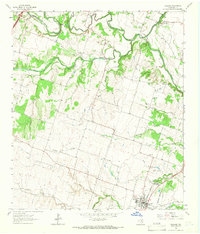 1964 Holland1966 Print · USGSCentral Texas blackland and river bottoms are captured here in the mid-1960s. Genealogists and historians can trace the MISSOURI KANSAS TEXAS rail line, locate Holland Cemetery, or find the historic Sommers Mill.2 unique versions available
 - 1964 Map of Little River, 1966 Print
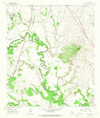 1964 Little River1966 Print · USGSThis central Texas landscape in the mid-1960s shows a region shaped by the winding Little River and two major rail lines. Researchers can locate community anchors like Joe Lee Ch, Little River Cem, and the high-speed Temple Drag Strip near Academy.3 unique versions available
 - 1965 Map of Temple, 1968 Print
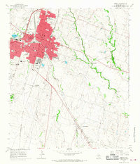 1965 Temple1968 Print · USGSTemple was a thriving rail and medical center during the mid-sixties, serving as the crossroads for the Atchison Topeka and Santa Fe. Genealogists and local historians can trace rural family sites at Heidenheimer or find old landmarks like Antioch Ch and the Blackland Experimental Farm.3 unique versions available
 - 1985 Map of Temple
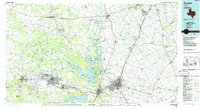 1985 Temple1985 Print · USGSCentral Texas in the mid-eighties shows a landscape of massive defense installations and deep-rooted farming communities. Genealogists and historians can trace the development of Temple and Gatesville, locate the Gatesville State School for Boys, or explore rural outposts like Zabcikville and Westphalia.2 unique versions available
 - 1985 Map of Taylor, 1986 Print
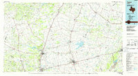 1985 Taylor1986 Print · USGSWilliamson and Bell counties in the mid-eighties reveal a landscape where the cattle and cotton economy met burgeoning rail infrastructure. Genealogists and historians can trace the paths of the Missouri Pacific railroad through unique hamlets like Ding Dong, Frame Switch, and Beyersville.2 unique versions available
 - 2010 Map of Holland, 2010 Print
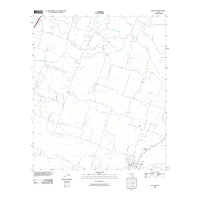 2010 Holland2010 Print · USGSBell County’s agricultural heartland is documented here in the early twenty-first century as the town of Holland continues its long history. Researchers can locate family roots at Holland Cemetery or trace the winding course of the Lampasas River and Salado Creek.
 - 2010 Map of Little River, 2010 Print
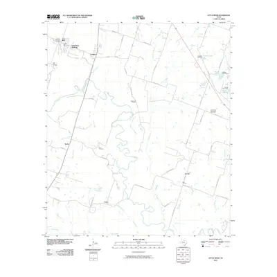 2010 Little River2010 Print · USGSBell County near the turn of the decade shows a rural landscape shaped by the Little River and its many tributaries. Family historians can trace ancestral sites at Little River Cemetery, Volo Cemetery, and the small settlement of Joe Lee.
 - 2010 Map of Temple, 2010 Print
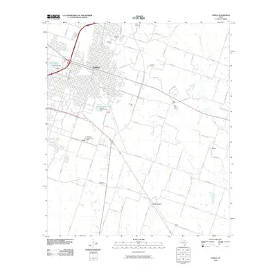 2010 Temple2010 Print · USGSThe city of Temple meets the Blackland Prairie in the early twenty-first century. Genealogists can trace family burial sites at Greathouse Cemetery or Lancaster Cemetery, while others can locate landmarks like Little Elm Field and the Blackland Experimental Farm.
 - 2012 Map of Temple, 2012 Print
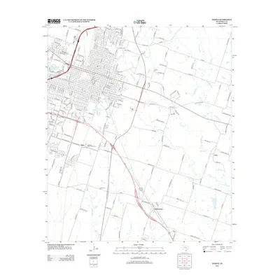 2012 Temple2012 Print · USGSTemple and its Bell County environs are captured here in the early twenty-first century as the city's grid reaches toward rural settlements. Trace family history at Evergreen Cem and Hillcrest Cem or locate old community hubs like Heidenheimer and Little Flock.
 - 2012 Map of Little River, 2012 Print
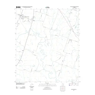 2012 Little River2012 Print · USGSThe communities of Bell County are captured here just after the first decade of the new millennium as the local landscape remained deeply tied to its river geography. Researchers can trace rural cemeteries and small settlements such as Little River Cem, Volo Cem, and Sparks.
 - 2013 Map of Holland, 2013 Print
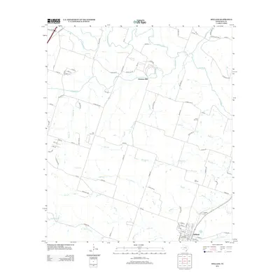 2013 Holland2013 Print · USGSBell County agriculture and river life are captured here in the early twenty-first century as the landscape transitions toward modern development. Researchers can locate family sites and rural landmarks like Sommers Mill, Post Oak Cem, and the Holland Cem.
 - 2016 Map of Temple, 2016 Print
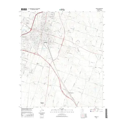 2016 Temple2016 Print · USGSTemple and its surrounding Bell County communities are shown in detail during a period of modern growth. Genealogists can locate several family and local burial sites including Greathouse Cem, Little Flock Cem, and Wedel Cem along the rural roads near Oscar.
 - 2016 Map of Little River, 2016 Print
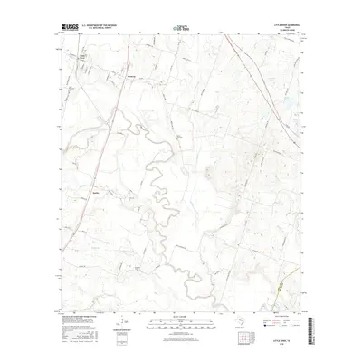 2016 Little River2016 Print · USGSThe winding river valley between Little River and Academy is captured here in the mid-2010s. Genealogists and local historians can locate several family and community burial grounds, including Little River Cem, Volo Cem, and Reeds Lake Cem.
 - 2016 Map of Holland, 2016 Print
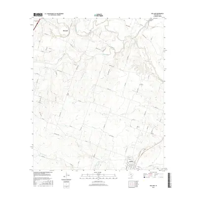 2016 Holland2016 Print · USGSBell County near the confluence of the Leon and Lampasas Rivers is shown here in the mid-2010s. Genealogists and local historians can locate several rural burial grounds like Center Lake Cem and landmarks such as Hartrick Bluff or Summers Mill.
 - 2019 Map of Holland, 2019 Print
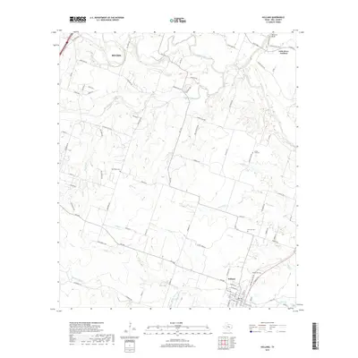 2019 Holland2019 Print · USGSBell County’s rural heartland is documented here in the late 2010s, showing the agricultural landscape between Belton and Holland. Researchers can trace old family burial sites like Post Oak Cem and landmarks like Hartrick Bluff along the Little River.
 - 2019 Map of Little River, 2019 Print
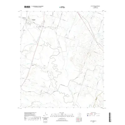 2019 Little River2019 Print · USGSCentral Bell County in the late 2010s is a landscape shaped by the winding Little River and a deep-rooted rural community. Genealogists and historians can trace numerous family burial grounds including Volo Cem, Reed Cem, and the settlement of Sparks.
 - 2019 Map of Temple, 2019 Print
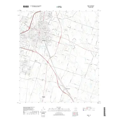 2019 Temple2019 Print · USGSTemple and its surrounding Bell County countryside are captured here in the late 2010s as the regional hub continues its steady growth. Genealogists can locate several key burial sites like Hillcrest Cem and Greathouse Cem alongside the small settlement of Heidenheimer.
Showing maps 1-25 of 28
Top cities near Little River-Academy
- Temple historical maps
- Belton historical maps
- Nolanville historical maps
- Troy historical maps
- Salado historical maps
- Jarrell historical maps
See more
Top neighborhoods of Little River-Academy
Frequently asked questions
- What are the different types of historical maps available for Little River-Academy?
- What is the oldest map of Little River-Academy?
- Where can I purchase historical maps of Little River-Academy for my home or office?
- Where can I download high-res historical maps of Little River-Academy?
- Are there historical topographic maps available for Little River-Academy?
- Is there historical aerial imagery available for Little River-Academy?
- Where are historical maps of Little River-Academy sourced from?