2000s (21st Century) Maps of McNair Village, Texas
Explore 5 historic maps of McNair Village from the 2000s (21st Century). These maps offer a rare glimpse into what life looked like during the 2000s — showing old roads, neighborhoods, homes, and landmarks that have changed or disappeared over time.
Whether you're researching your family's past, planning a metal detecting trip, or studying how McNair Village's landscape evolved across the 2000s, these high-resolution maps are a powerful tool for exploring the history of this region.
- Focus on a specific era: All maps on this page are from the 2000s, giving you a focused view of this time period.
- See what’s changed: Compare century-old streets, trails, and buildings to today's modern landscape using overlays and satellite layers.
- Research with precision: Use these maps for genealogy, historical research, land use analysis, or educational projects.
- View, download, or print: Maps are fully viewable online in high resolution, and can be downloaded or printed for your own records.
Start exploring McNair Village's history through authentic maps from the 2000s. This is your window into the past.
McNair Village, TX maps
(5)- 2010 Map of Fort Hood, 2010 Print
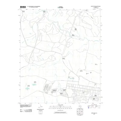 2010 Fort Hood2010 Print · USGSCovers McNair Village, including Chaffee Village, Comanche Village II, and other nearby areas
 - 2012 Map of Fort Hood, 2012 Print
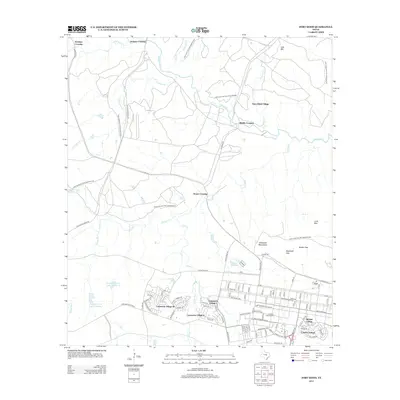 2012 Fort Hood2012 Print · USGSCovers McNair Village, including Chaffee Village, Comanche Village II, and other nearby areas
 - 2016 Map of Fort Hood, 2016 Print
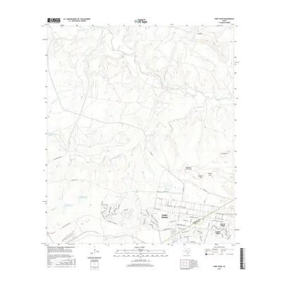 2016 Fort Hood2016 Print · USGSCovers McNair Village, including Chaffee Village, Comanche Village II, and other nearby areas
 - 2019 Map of Fort Hood, 2019 Print
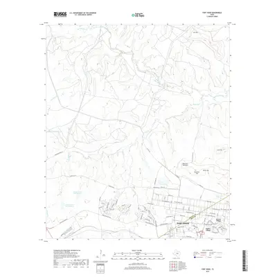 2019 Fort Hood2019 Print · USGSCovers McNair Village, including Chaffee Village, Comanche Village II, and other nearby areas
 - 2022 Map of Fort Hood, 2022 Print
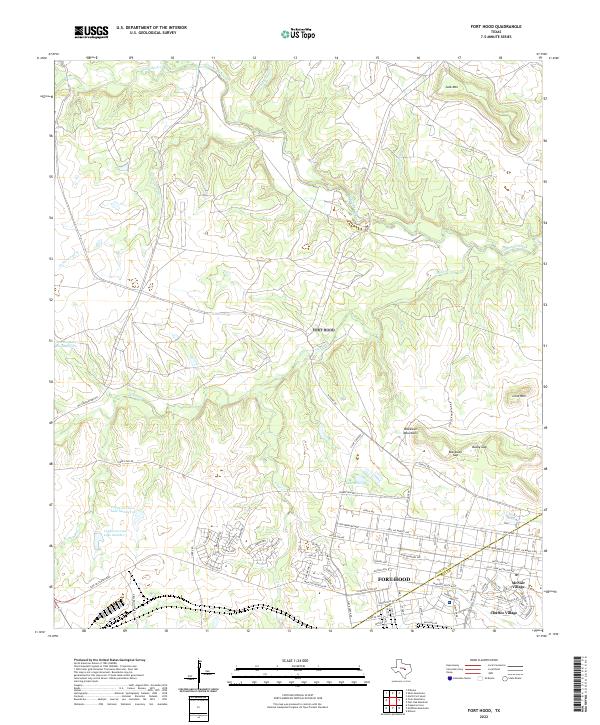 2022 Fort Hood2022 Print · USGSFort Hood and the surrounding hills of Central Texas are documented in this recent survey, showing the military installation's residential and operational layout. Genealogists and historians can trace the streets of McNair Village, the waters of Lake Henry, and landmarks like Blackwell Mountains.
End of results
Showing maps 1-5 of 5
Top cities near McNair Village
- Killeen historical maps
- Temple historical maps
- Harker Heights historical maps
- Copperas Cove historical maps
- Belton historical maps
- Nolanville historical maps
See more
Frequently asked questions
- What are the different types of historical maps available for McNair Village?
- What is the oldest map of McNair Village?
- Where can I purchase historical maps of McNair Village for my home or office?
- Where can I download high-res historical maps of McNair Village?
- Are there historical topographic maps available for McNair Village?
- Is there historical aerial imagery available for McNair Village?
- Where are historical maps of McNair Village sourced from?