Old Maps of Von Ormy, Texas for Academic Research
Study the evolution of Von Ormy with 11 high-resolution historic maps. Whether you're teaching, researching, or modeling changes in land use, these maps provide essential visual documentation of urban, environmental, and geographic change.
- Analyze long-term change: Track patterns in development, transportation, and natural features.
- Ideal for environmental or urban studies: Support academic projects with primary historical map data.
- Use in the classroom or lab: Educators and researchers rely on these maps to bring historical context to life.
These maps are a powerful tool for teaching, research, and visualizing how Von Ormy has changed over the decades.
Von Ormy, TX maps
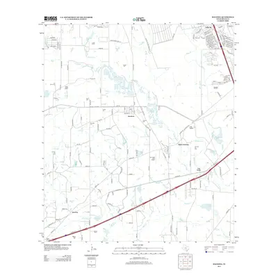
(11)- 1953 Map of Macdona, 1959 Print
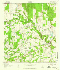 1953 Macdona1959 Print · USGSBexar County's rural southwest transition is on display in the 1950s as rail lines and military reservations shape the landscape. Genealogists can locate family-named sites like Luckey Ranch or research local congregations at Midway Ch and Sacred Heart Ch.
 - 1954 Map of San Antonio, 1964 Print
 1954 San Antonio1964 Print · USGSSan Antonio and the Texas Hill Country are captured here in the mid-fifties, showing a landscape defined by massive military air bases and the rising Canyon Reservoir. Trace family ties through historic rail towns like D'Hanis and Castroville or explore the Cold War footprint of Lackland AFB and Randolph AFB.3 unique versions available
 - 1957 Map of San Antonio
 1957 San Antonio1957 Print · USGSSan Antonio and the Texas Hill Country are shown here during the mid-fifties, capturing the region's expanding post-war military and transportation footprint. Genealogists and local historians can trace the early residential boundaries of Alamo Heights or locate rural landmarks like St Hedwig and Medina Lake.
 - 1967 Map of Macdona, 1969 Print
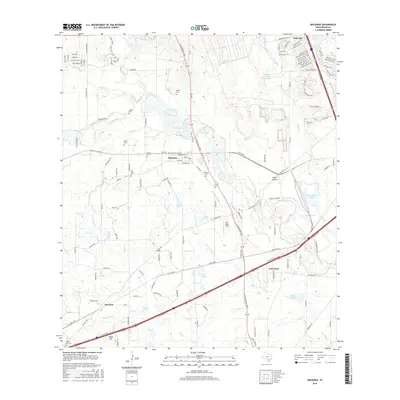
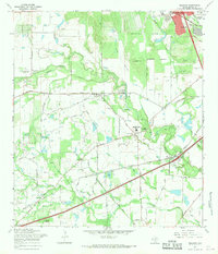 1967 Macdona1969 Print · USGSSouthwest of San Antonio in the late sixties, this area shows a landscape transitioning between rural ranching and growing military and industrial interests. Researchers can find numerous small burial sites like Hermann Cem and San Isidro Cem alongside the Southern Pacific rail line.3 unique versions available
 - 1985 Map of San Antonio
 1985 San Antonio1985 Print · USGSSan Antonio and its surrounding hill country are captured in the mid-eighties during a period of significant suburban and military expansion. Genealogists and historians can trace the footprint of Kelly Air Force Base, old rail lines like the Missouri-Kansas-Texas, and smaller communities like Saspamco or Zuehl.3 unique versions available
 - 1991 Map of Macdona, 1992 Print
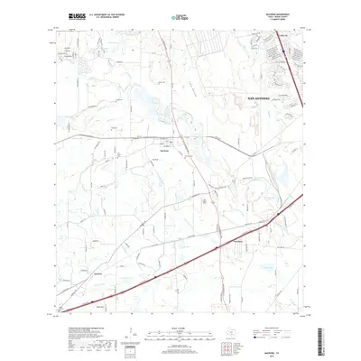
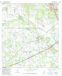 1991 Macdona1992 Print · USGSBexar County's rural southwest transition is captured here in the early nineties, where the Medina River valley meets expanding military and energy interests. Genealogists and local historians can locate numerous family burial sites like Lessing Cem and Hermann Cem, alongside ranching landmarks like Luckey Ranch.
 - 2010 Map of Macdona, 2010 Print
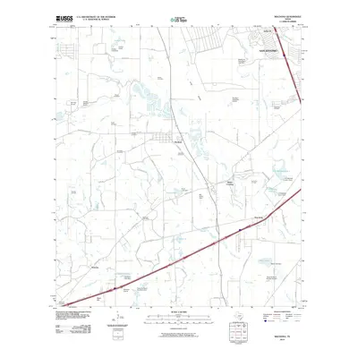 2010 Macdona2010 Print · USGSCovers Von Ormy, including San Antonio, Atascosa, and other nearby areas
 - 2013 Map of Macdona, 2013 Print
 2013 Macdona2013 Print · USGSCovers Von Ormy, including San Antonio, Atascosa, and other nearby areas
 - 2016 Map of Macdona, 2016 Print
 2016 Macdona2016 Print · USGSCovers Von Ormy, including San Antonio, Atascosa, and other nearby areas
 - 2019 Map of Macdona, 2019 Print
 2019 Macdona2019 Print · USGSCovers Von Ormy, including San Antonio, Atascosa, and other nearby areas
 - 2022 Map of Macdona, 2022 Print
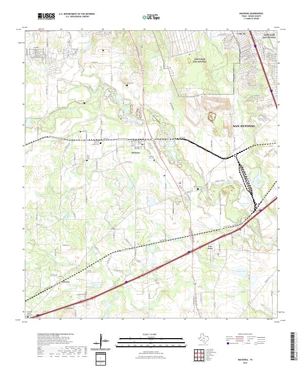 2022 Macdona2022 Print · USGSBexar County south of San Antonio shows a unique blend of early settlement history and river geography in this recent survey. Genealogists can locate several historic burial sites, including Becker Cem, San Isidro Cem, and McCulloch Cem.
End of results
Showing maps 1-11 of 11
Top cities near Von Ormy
- San Antonio historical maps
- Leon Valley historical maps
- Alamo Heights historical maps
- Terrell Hills historical maps
- Castle Hills historical maps
- Castroville historical maps
See more
Frequently asked questions
- What are the different types of historical maps available for Von Ormy?
- What is the oldest map of Von Ormy?
- Where can I purchase historical maps of Von Ormy for my home or office?
- Where can I download high-res historical maps of Von Ormy?
- Are there historical topographic maps available for Von Ormy?
- Is there historical aerial imagery available for Von Ormy?
- Where are historical maps of Von Ormy sourced from?