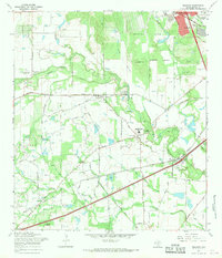
1967 Map of Macdona
USGS Topo · Published 1969About this map
Von Ormy and Macdona anchor this 1960s landscape, where the Medina River and its various tributaries like Polecat Creek and Post Oak Creek carve through the Bexar County terrain. The region is defined by a blend of agricultural ranching and industrial extraction, evidenced by the Von Ormy Oil Field and numerous Gravel Pits scattered near the riverbanks. The transportation network is dominated by the Southern Pacific and Missouri Pacific railroads, which parallel the primary roads and connect small rural clusters.
Find a feature on this map
77 named features on this map. Tap any name to fly to it.
Don’t see what you’re looking for? This feature index may not catch every label — zoom into the map to look around manually.
Map Details
Editions of this 1967 Macdona Map
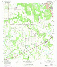
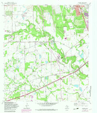
3 editions found
Other maps of this area

1942 · Natalia
USGS Topo · 1:62,500

1953 · Culebra Hill
USGS Topo · 1:24,000

1953 · San Antonio West
USGS Topo · 1:24,000

1953 · Terrell Wells
USGS Topo · 1:24,000

1953 · Macdona
USGS Topo · 1:24,000

1954 · San Antonio
USGS Topo · 1:250,000

1957 · San Antonio
USGS Topo · 1:250,000

1958 · La Coste
USGS Topo · 1:24,000

1958 · Somerset
USGS Topo · 1:24,000

1958 · La Coste NE
USGS Topo · 1:24,000