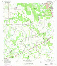
1967 Map of Macdona
USGS Topo · Published 1975About this map
Von Ormy and Macdona anchor this landscape southwest of San Antonio, where the Medina River carves through a region defined by established cattle ranching and emerging military expansion. The map reveals the sprawling presence of Medina Base and a portion of Lackland Air Force Base, highlighting the area's strategic importance during the mid-20th century. Local history is deeply embedded in the rural infrastructure, seen in the numerous family and community burial grounds such as Hermann Cem, Becker Cem, and the Mann Crossing Cem.
Find a feature on this map
69 named features on this map. Tap any name to fly to it.
Don’t see what you’re looking for? This feature index may not catch every label — zoom into the map to look around manually.
Map Details
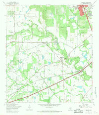
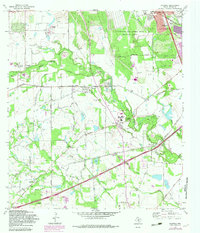
Editions of this 1967 Macdona Map
3 editions found
Other maps of this area

1942 · Natalia
USGS Topo · 1:62,500

1953 · Culebra Hill
USGS Topo · 1:24,000

1953 · San Antonio West
USGS Topo · 1:24,000

1953 · Terrell Wells
USGS Topo · 1:24,000

1953 · Macdona
USGS Topo · 1:24,000

1954 · San Antonio
USGS Topo · 1:250,000

1957 · San Antonio
USGS Topo · 1:250,000

1958 · La Coste
USGS Topo · 1:24,000

1958 · Somerset
USGS Topo · 1:24,000

1958 · La Coste NE
USGS Topo · 1:24,000