Old Maps of Blanco, Texas for Hiking & Exploration
Hike through history with 18 historic maps of Blanco. Explore old trails, ghost towns, and forgotten backroads — perfect for outdoor adventurers and local explorers.
- Rediscover forgotten places: Map out old mining camps, roads, and footpaths that no longer exist on modern maps.
- Layer with modern tools: Combine with LiDAR or satellite views to plan hikes through historical terrain.
- Made for exploration: Popular among hikers, overlanders, and local history lovers.
Use these maps to find adventure and explore the hidden past of Blanco.
Blanco, TX maps
(18)- 1887 Map of Blanco
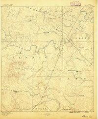 1887 Blanco1887 Print · USGSCentral Texas at the dawn of the Hill Country's development, when early ranching life centered on river fords and spring-fed creeks. Trace the paths between Johnson City, Blanco, and Dripping Springs, or locate landmarks like Jacob's Well and Dead Mans Hole.
 - 1894 Map of Blanco
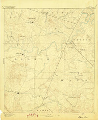 1894 Blanco1894 Print · USGSThe Texas Hill Country comes into focus during the late frontier era, centered on the newly established Johnson City and Blanco. Genealogists can trace early homesteads and communities near Jacobs Well, Dripping Springs, and the isolated Cypress Mill.5 unique versions available
 - 1954 Map of Llano, 1964 Print
 1954 Llano1964 Print · USGSThe Texas Hill Country and Highland Lakes appear in the mid-fifties, just as new reservoirs began reshaping the landscape. Trace ranching history and river routes from Mason to Llano, or follow the Gulf Colorado and Santa Fe RR past Buchanan Lake.2 unique versions available
 - 1955 Map of Llano
 1955 Llano1955 Print · USGSCentral Texas and the Hill Country are seen here during the mid-1950s growth of the Highland Lakes. Trace old settlements and geologic landmarks from Enchanted Rock and Longhorn Cavern to the small community of Luckenbach.
 - 1956 Map of Llano, 1976 Print
 1956 Llano1976 Print · USGSThe Texas Hill Country comes alive in this mid-seventies survey of the Llano Uplift and Colorado River lakes. Genealogists and historians can trace family roots through settlements like Luckenbach and Castell or locate the famed L B J Ranch and Enchanted Rock.
 - 1963 Map of Monument Hill, 1965 Print
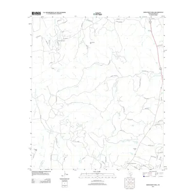
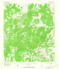 1963 Monument Hill1965 Print · USGSThis Blanco County survey captures the rugged Texas Hill Country during the early sixties, showing a landscape defined by seasonal creeks and limestone ridges. Genealogists can trace family-named landmarks such as Martin Mountain, McCall Creek, and Miller Road.2 unique versions available
 - 1963 Map of Blanco, 1965 Print
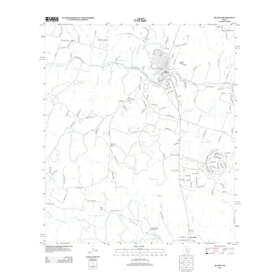
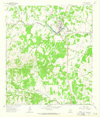 1963 Blanco1965 Print · USGSThe Texas Hill Country comes alive in the mid-sixties, centered on the riverfront town of Blanco. Genealogists and historians can trace family ranching lines at Hereford Hills Ranch and the Wegner Cem, or explore the rural settlement of Twin Sisters.
 - 1985 Map of Pedernales River
 1985 Pedernales River1985 Print · USGSThe Texas Hill Country comes alive in the mid-1980s, documenting a landscape of ranching roots and presidential history. Researchers can trace historic settlements like Luckenbach, the presidential grounds of Lyndon B. Johnson National Historic Park, and the early rail path of the Southern Pacific Railroad.2 unique versions available
 - 2010 Map of Monument Hill, 2010 Print
 2010 Monument Hill2010 Print · USGSCovers Blanco, including Blanco County, United States, and other nearby areas
 - 2010 Map of Blanco, 2010 Print
 2010 Blanco2010 Print · USGSCovers Blanco, including Twin Sisters, Kendall County, and other nearby areas
 - 2012 Map of Blanco, 2012 Print
 2012 Blanco2012 Print · USGSCovers Blanco, including Twin Sisters, Kendall County, and other nearby areas
 - 2012 Map of Monument Hill, 2012 Print
 2012 Monument Hill2012 Print · USGSCovers Blanco, including Blanco County, United States, and other nearby areas
 - 2016 Map of Monument Hill, 2016 Print
 2016 Monument Hill2016 Print · USGSCovers Blanco, including Blanco County, United States, and other nearby areas
 - 2016 Map of Blanco, 2016 Print
 2016 Blanco2016 Print · USGSCovers Blanco, including Twin Sisters, Kendall County, and other nearby areas
 - 2019 Map of Monument Hill, 2019 Print
 2019 Monument Hill2019 Print · USGSCovers Blanco, including Blanco County, United States, and other nearby areas
 - 2019 Map of Blanco, 2019 Print
 2019 Blanco2019 Print · USGSCovers Blanco, including Twin Sisters, Kendall County, and other nearby areas
 - 2022 Map of Monument Hill, 2022 Print
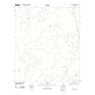
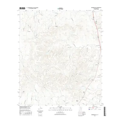
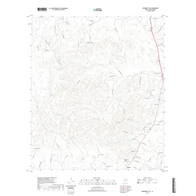
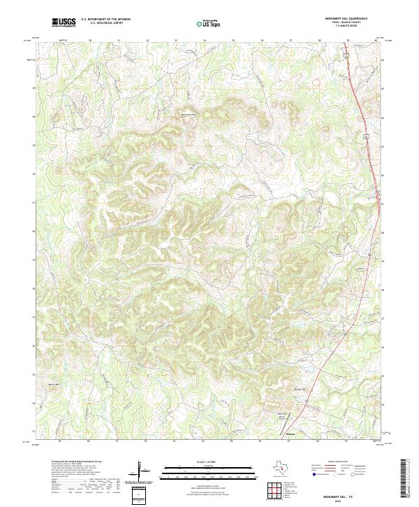 2022 Monument Hill2022 Print · USGSThe Blanco area and the surrounding Hill Country heights are detailed in this contemporary survey. Researchers can trace the modern landscape across Monument Hill, find family-named landmarks like McCall Creek, and locate the Rocky Top Ranch Airport.
 - 2022 Map of Blanco, 2022 Print
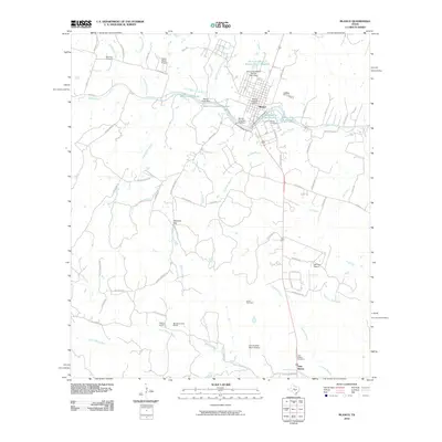
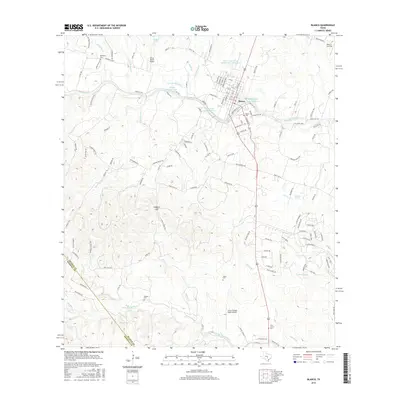
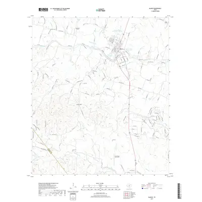
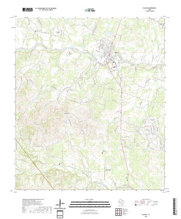 2022 Blanco2022 Print · USGSThe Blanco River corridor and the town of Blanco are captured in this contemporary survey of the Texas Hill Country. Genealogists and historians can trace family-named sites like the Sauer Family Cem, Wegner Cem, and the Tatum Ranch Airport.
End of results
Showing maps 1-18 of 18
Top cities near Blanco
Frequently asked questions
- What are the different types of historical maps available for Blanco?
- What is the oldest map of Blanco?
- Where can I purchase historical maps of Blanco for my home or office?
- Where can I download high-res historical maps of Blanco?
- Are there historical topographic maps available for Blanco?
- Is there historical aerial imagery available for Blanco?
- Where are historical maps of Blanco sourced from?