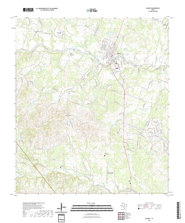
2022 Map of Blanco
USGS Topo · Published 2022About this map
The Blanco River winds through the heart of this Central Texas Hill Country landscape, anchoring the settlement of Blanco. This detailed 2022 survey captures the community and its surrounding ranchlands, where the terrain is marked by distinctive features like Stubbins Gap and the perennial flow of the Little Blanco River. For genealogists and local historians, the map is a vital record of family landmarks and rural burial grounds, including the Sauer Family Cem, August Jonas Cem, and the Tatum Ranch Cemetery near the Tatum Ranch Airport. The town’s grid is clearly defined, showing the residential streets and municipal water sources such as Blanco City Lake Number 1. Further south, the map documents the Twin Sisters Cem and the Cross Triangle Ranch Airport, illustrating how aviation and historical land use coexist in this Blanco County corridor.
Find a feature on this map
145 named features on this map. Tap any name to fly to it.
Don’t see what you’re looking for? This feature index may not catch every label — zoom into the map to look around manually.
Map Details
Editions of this 2022 Blanco Map
This is the sole edition of this map. No revisions or reprints were ever made.
Other maps of this area

1887 · Blanco
USGS Topo · 1:125,000

1894 · Fredericksburg
USGS Topo · 1:125,000

1894 · Blanco
USGS Topo · 1:125,000

1920 · Smithsons Valley
USGS Topo · 1:62,500

1925 · Smithson Valley No. 1
USGS Topo · 1:48,000

1927 · Smithson Valley
USGS Topo · 1:62,500

1929 · Smithson Valley
USGS Topo · 1:62,500

1940 · Smithson Valley
USGS Topo · 1:62,500

1954 · Llano
USGS Topo · 1:250,000

1954 · San Antonio
USGS Topo · 1:250,000