2000s (21st Century) Maps of De Kalb, Texas
Explore 20 historic maps of De Kalb from the 2000s (21st Century). These maps offer a rare glimpse into what life looked like during the 2000s — showing old roads, neighborhoods, homes, and landmarks that have changed or disappeared over time.
Whether you're researching your family's past, planning a metal detecting trip, or studying how De Kalb's landscape evolved across the 2000s, these high-resolution maps are a powerful tool for exploring the history of this region.
- Focus on a specific era: All maps on this page are from the 2000s, giving you a focused view of this time period.
- See what’s changed: Compare century-old streets, trails, and buildings to today's modern landscape using overlays and satellite layers.
- Research with precision: Use these maps for genealogy, historical research, land use analysis, or educational projects.
- View, download, or print: Maps are fully viewable online in high resolution, and can be downloaded or printed for your own records.
Start exploring De Kalb's history through authentic maps from the 2000s. This is your window into the past.
De Kalb, TX maps
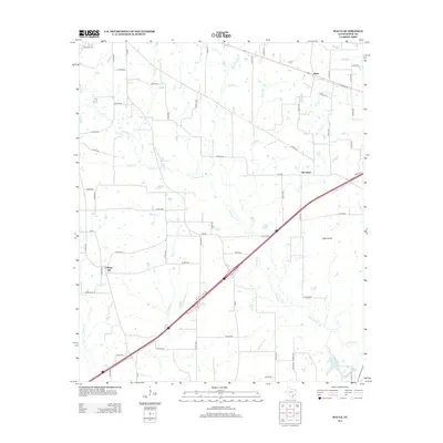
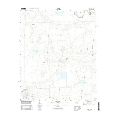
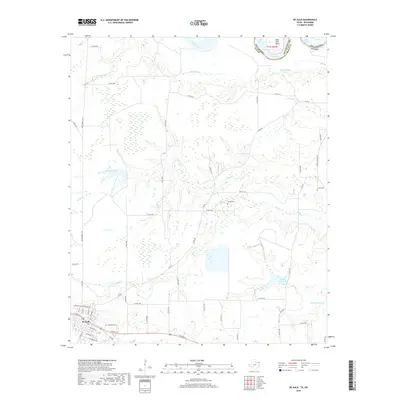
(20)- 2010 Map of Oak Grove, 2010 Print
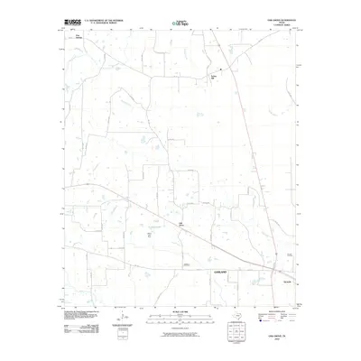 2010 Oak Grove2010 Print · USGSCovers De Kalb, including Spring Hill, Pine Springs, and other nearby areas
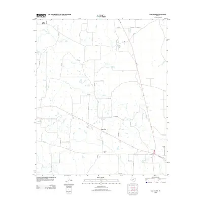
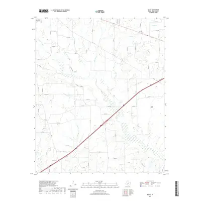
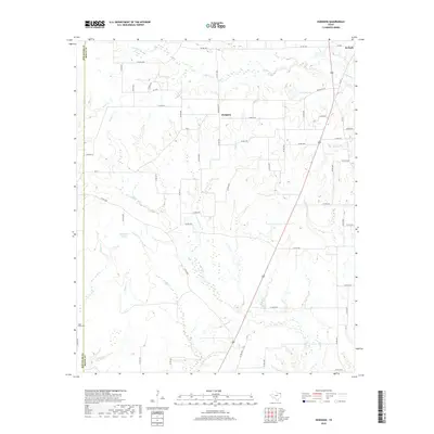
 - 2010 Map of Malta, 2010 Print
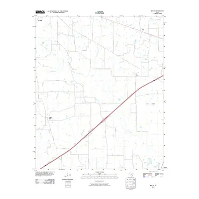 2010 Malta2010 Print · USGSCovers De Kalb, including Malta, College Hill, and other nearby areas
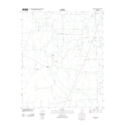
 - 2010 Map of De Kalb, 2010 Print
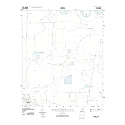 2010 De Kalb2010 Print · USGSCovers De Kalb, including Bowie County, McCurtain County, and other nearby areas
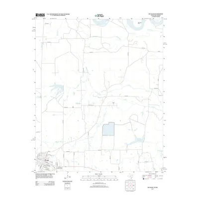
 - 2010 Map of Hodgson, 2010 Print
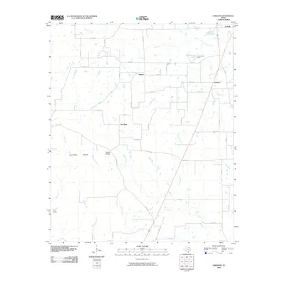 2010 Hodgson2010 Print · USGSCovers De Kalb, including Hodgson, Hubbard, and other nearby areas
 - 2012 Map of Hodgson, 2012 Print
 2012 Hodgson2012 Print · USGSCovers De Kalb, including Hodgson, Hubbard, and other nearby areas
 - 2012 Map of Malta, 2012 Print
 2012 Malta2012 Print · USGSCovers De Kalb, including Malta, College Hill, and other nearby areas
 - 2012 Map of Oak Grove, 2012 Print
 2012 Oak Grove2012 Print · USGSCovers De Kalb, including Spring Hill, Pine Springs, and other nearby areas
 - 2013 Map of De Kalb, 2013 Print
 2013 De Kalb2013 Print · USGSCovers De Kalb, including Bowie County, McCurtain County, and other nearby areas
 - 2016 Map of Malta, 2016 Print
 2016 Malta2016 Print · USGSCovers De Kalb, including Malta, College Hill, and other nearby areas
 - 2016 Map of De Kalb, 2016 Print
 2016 De Kalb2016 Print · USGSCovers De Kalb, including Bowie County, McCurtain County, and other nearby areas
 - 2016 Map of Hodgson, 2016 Print
 2016 Hodgson2016 Print · USGSCovers De Kalb, including Hodgson, Hubbard, and other nearby areas
 - 2016 Map of Oak Grove, 2016 Print
 2016 Oak Grove2016 Print · USGSCovers De Kalb, including Spring Hill, Pine Springs, and other nearby areas
 - 2019 Map of Malta, 2019 Print
 2019 Malta2019 Print · USGSCovers De Kalb, including Malta, College Hill, and other nearby areas
 - 2019 Map of Oak Grove, 2019 Print
 2019 Oak Grove2019 Print · USGSCovers De Kalb, including Spring Hill, Pine Springs, and other nearby areas
 - 2019 Map of Hodgson, 2019 Print
 2019 Hodgson2019 Print · USGSCovers De Kalb, including Hodgson, Hubbard, and other nearby areas
 - 2019 Map of De Kalb, 2019 Print
 2019 De Kalb2019 Print · USGSCovers De Kalb, including Bowie County, McCurtain County, and other nearby areas
 - 2022 Map of Oak Grove, 2022 Print
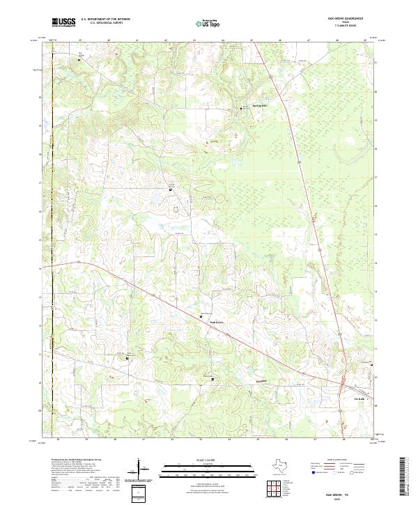 2022 Oak Grove2022 Print · USGSEastern Texas community life and rural landscapes are captured here in the early twenty-first century. Genealogists can trace family names and burial sites at Oak Grove Cem, Gravel Hill Cem, and the West Bowie Cem near Garland.
 - 2022 Map of Hodgson, 2022 Print
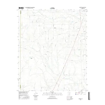
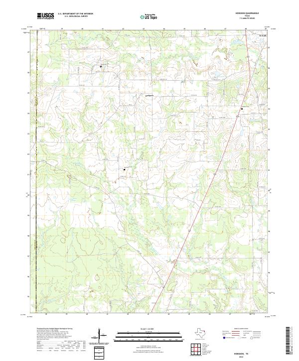 2022 Hodgson2022 Print · USGSBowie County in the early twenty-first century remains a landscape of quiet prairies and winding creek bottoms west of the town of De Kalb. Genealogists and local historians can locate rural burial sites such as Big Woods Cem and New Hope Cem along the quiet reaches of Blythe Cr.
 - 2022 Map of Malta, 2022 Print
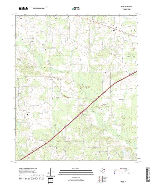 2022 Malta2022 Print · USGSBowie County at the start of the 2020s shows a landscape defined by its creek networks and small settlements. Genealogists and local historians can trace family locations near Malta Cem, Old Salem Cem, and the quiet crossroads of Malta and Little Prairie.
 - 2022 Map of De Kalb, 2022 Print
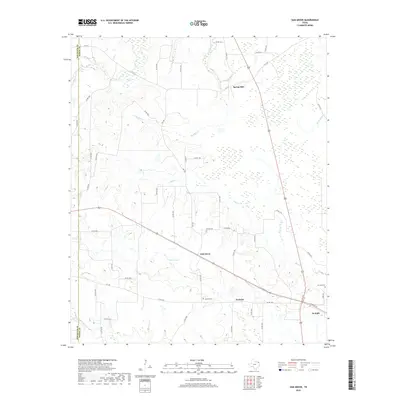
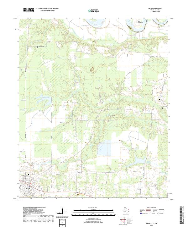 2022 De Kalb2022 Print · USGSBowie County at the Oklahoma border is documented in this recent survey, centered on the historic crossroads of De Kalb. Family historians can trace numerous rural burial sites including Old De Kalb Cemetery, Woodmen Cemetery, and Harrell Cemetery.
End of results
Showing maps 1-20 of 20
Top cities near De Kalb
Frequently asked questions
- What are the different types of historical maps available for De Kalb?
- What is the oldest map of De Kalb?
- Where can I purchase historical maps of De Kalb for my home or office?
- Where can I download high-res historical maps of De Kalb?
- Are there historical topographic maps available for De Kalb?
- Is there historical aerial imagery available for De Kalb?
- Where are historical maps of De Kalb sourced from?