Old Maps of De Kalb, Texas for Academic Research
Study the evolution of De Kalb with 33 high-resolution historic maps. Whether you're teaching, researching, or modeling changes in land use, these maps provide essential visual documentation of urban, environmental, and geographic change.
- Analyze long-term change: Track patterns in development, transportation, and natural features.
- Ideal for environmental or urban studies: Support academic projects with primary historical map data.
- Use in the classroom or lab: Educators and researchers rely on these maps to bring historical context to life.
These maps are a powerful tool for teaching, research, and visualizing how De Kalb has changed over the decades.
De Kalb, TX maps
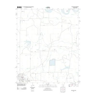
(33)- 1930 Map of Bassett
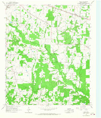
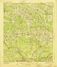 1930 Bassett1930 Print · USGSBowie and Cass Counties are captured here as the traditional rural landscape met the expanding reach of the railroad and early oil exploration. Genealogists can locate many namesake schools and churches like Big Woods Sch, Mt Zion Ch, and the settlement of White Cotton.2 unique versions available
 - 1950 Map of De Kalb, 1976 Print
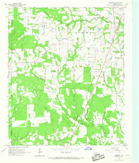
 1950 De Kalb1976 Print · USGSBowie County at mid-century shows a landscape of rural schools and family cemeteries clustered around the De Kalb rail corridor. Genealogists can trace local landmarks like Woodman Cem, Bethlehem Sch, and the banks of the Red River.2 unique versions available
 - 1950 Map of Oak Grove, 1976 Print
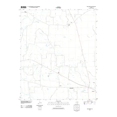
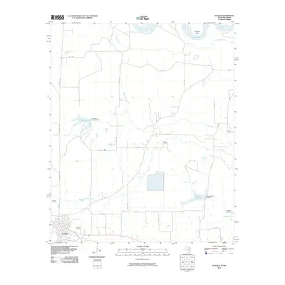
 1950 Oak Grove1976 Print · USGSBowie County at the midpoint of the century shows a landscape of small rail-side communities and scattered country parishes. Genealogists can trace family footprints near Oak Grove, Garland, and rural landmarks like Gravel Hill Ch or the Garland Cem.
 - 1951 Map of De Kalb
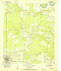 1951 De Kalb1951 Print · USGSBowie County, Texas, was a landscape of small schools and rural churches in the years following the war. Researchers can trace the Texas and Pacific rail line through De Kalb or locate family markers at Woodman Cem and Harrell Cem.
 - 1951 Map of Oak Grove
 1951 Oak Grove1951 Print · USGSBowie County at the dawn of the 1950s shows a landscape of rural communities tied together by the Texas and Pacific rail line. Genealogists can trace family footprints at Mt Pleasant Sch, Garland Cem, and West Bowie Union Ch.
 - 1953 Map of Texarkana, 1964 Print
 1953 Texarkana1964 Print · USGSThe Texas-Arkansas borderlands are captured here in the mid-fifties, during a decade of massive military and hydraulic engineering projects. Genealogists and researchers can locate family landmarks like Old Boston Cem, Siloam Ch, and the vast Red River Arsenal.4 unique versions available
 - 1956 Map of Texarkana
 1956 Texarkana1956 Print · USGSThe Ark-La-Tex borderlands come alive in the mid-fifties, showing the transition from a rail-dependent rural economy to a post-war industrial landscape. Researchers can trace the massive Red River Ordnance Depot and find towns like Talco, Bogata, and Naples.
 - 1965 Map of Hodgson, 1967 Print
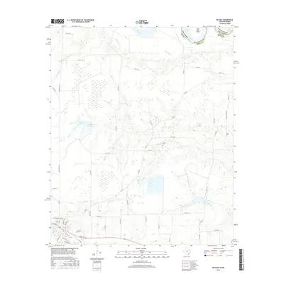
 1965 Hodgson1967 Print · USGSBowie County and the eastern edge of Red River County appear here in the mid-1960s, showing a landscape of prairies and creek-side settlements. Researchers can locate the Big Woods Ch, Cedar Creek Cem, and the communities of New Hope and Hodgson.2 unique versions available
 - 1965 Map of Malta, 1967 Print
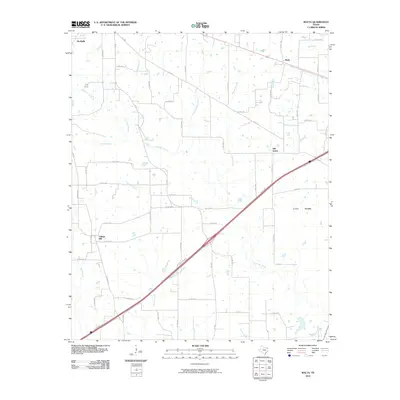
 1965 Malta1967 Print · USGSBowie County in the mid-1960s shows a landscape of small Texas communities and winding creek branches. Genealogists can trace family locations near De Kalb, Malta, and the Austin Chapel or follow the path of the Texas and Pacific railroad.2 unique versions available
 - 1986 Map of Texarkana
 1986 Texarkana1986 Print · USGSThe Texas-Arkansas borderlands are captured here in the mid-eighties as a hub of military industry and river-basin geography. Genealogists and local historians can locate rural landmarks like Red Hill Cem, Coopers Chapel, and the Lone Star Army Ammunition Plant.
 - 1986 Map of Idabel
 1986 Idabel1986 Print · USGSThe tri-state borderlands of Oklahoma, Arkansas, and Texas come alive in the 1980s, centered on the Red River and the timberlands of the Ouachita National Forest. Genealogists and historians can trace the paths of the Missouri Pacific railroad through towns like Bokhoma and Ashdown.
 - 1990 Map of Idabel
 1990 Idabel1990 Print · USGSThe tri-state borderlands of Oklahoma, Arkansas, and Texas come alive in this late twentieth-century survey of the Red River valley. Researchers can trace the legacy of rail and river commerce through settlements like Bokhoma and Ashdown or find rural landmarks such as Hill Chapel.
 - 1992 Map of Texarkana
 1992 Texarkana1992 Print · USGSThe Ark-La-Tex border region comes into focus in the early nineties, centered on the sprawling waters of Wright Patman Lake. Genealogists and historians can trace rail-town development and rural roots through Old Union Cem, the Red River Army Depot, and Dalby Springs Cem.
 - 2010 Map of Oak Grove, 2010 Print
 2010 Oak Grove2010 Print · USGSCovers De Kalb, including Spring Hill, Pine Springs, and other nearby areas
 - 2010 Map of Malta, 2010 Print
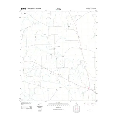
 2010 Malta2010 Print · USGSCovers De Kalb, including Malta, College Hill, and other nearby areas
 - 2010 Map of De Kalb, 2010 Print
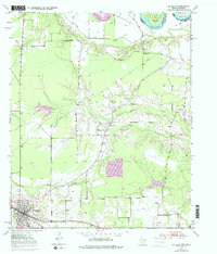
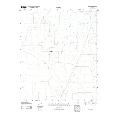
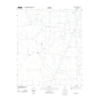
 2010 De Kalb2010 Print · USGSCovers De Kalb, including Bowie County, McCurtain County, and other nearby areas
 - 2010 Map of Hodgson, 2010 Print
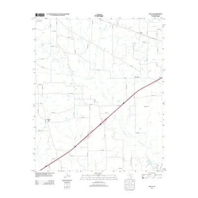
 2010 Hodgson2010 Print · USGSCovers De Kalb, including Hodgson, Hubbard, and other nearby areas
 - 2012 Map of Hodgson, 2012 Print
 2012 Hodgson2012 Print · USGSCovers De Kalb, including Hodgson, Hubbard, and other nearby areas
 - 2012 Map of Malta, 2012 Print
 2012 Malta2012 Print · USGSCovers De Kalb, including Malta, College Hill, and other nearby areas
 - 2012 Map of Oak Grove, 2012 Print
 2012 Oak Grove2012 Print · USGSCovers De Kalb, including Spring Hill, Pine Springs, and other nearby areas
 - 2013 Map of De Kalb, 2013 Print
 2013 De Kalb2013 Print · USGSCovers De Kalb, including Bowie County, McCurtain County, and other nearby areas
 - 2016 Map of Malta, 2016 Print
 2016 Malta2016 Print · USGSCovers De Kalb, including Malta, College Hill, and other nearby areas
 - 2016 Map of De Kalb, 2016 Print
 2016 De Kalb2016 Print · USGSCovers De Kalb, including Bowie County, McCurtain County, and other nearby areas
 - 2016 Map of Hodgson, 2016 Print
 2016 Hodgson2016 Print · USGSCovers De Kalb, including Hodgson, Hubbard, and other nearby areas
 - 2016 Map of Oak Grove, 2016 Print
 2016 Oak Grove2016 Print · USGSCovers De Kalb, including Spring Hill, Pine Springs, and other nearby areas
Showing maps 1-25 of 33
Top cities near De Kalb
Frequently asked questions
- What are the different types of historical maps available for De Kalb?
- What is the oldest map of De Kalb?
- Where can I purchase historical maps of De Kalb for my home or office?
- Where can I download high-res historical maps of De Kalb?
- Are there historical topographic maps available for De Kalb?
- Is there historical aerial imagery available for De Kalb?
- Where are historical maps of De Kalb sourced from?