2000s (21st Century) Maps of Eylau, Texas
Explore 6 historic maps of Eylau from the 2000s (21st Century). These maps offer a rare glimpse into what life looked like during the 2000s — showing old roads, neighborhoods, homes, and landmarks that have changed or disappeared over time.
Whether you're researching your family's past, planning a metal detecting trip, or studying how Eylau's landscape evolved across the 2000s, these high-resolution maps are a powerful tool for exploring the history of this region.
- Focus on a specific era: All maps on this page are from the 2000s, giving you a focused view of this time period.
- See what’s changed: Compare century-old streets, trails, and buildings to today's modern landscape using overlays and satellite layers.
- Research with precision: Use these maps for genealogy, historical research, land use analysis, or educational projects.
- View, download, or print: Maps are fully viewable online in high resolution, and can be downloaded or printed for your own records.
Start exploring Eylau's history through authentic maps from the 2000s. This is your window into the past.
Eylau, TX maps
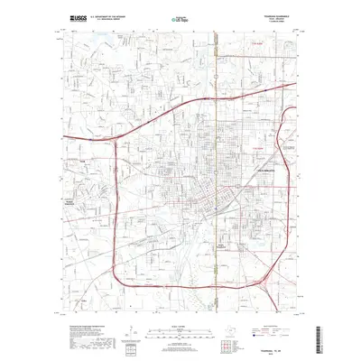
(6)- 2001 Map of Texarkana, 2004 Print
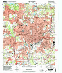 2001 Texarkana2004 Print · USGSTexarkana sits at a major crossroads of the South at the start of the new millennium, spanning the border between Texas and Arkansas. Researchers can trace the layout of civic landmarks and schools, from the Federal Correctional Institution to Texarkana Junior College and the Iron Mountain Tabernacle.
 - 2011 Map of Texarkana, 2011 Print
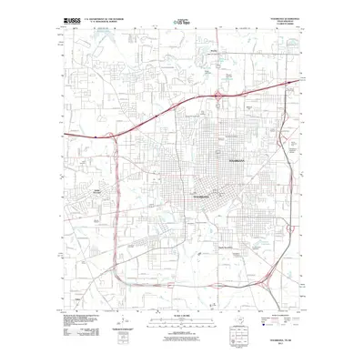 2011 Texarkana2011 Print · USGSCovers Eylau, including Texarkana, Texarkana, and other nearby areas
 - 2013 Map of Texarkana, 2013 Print
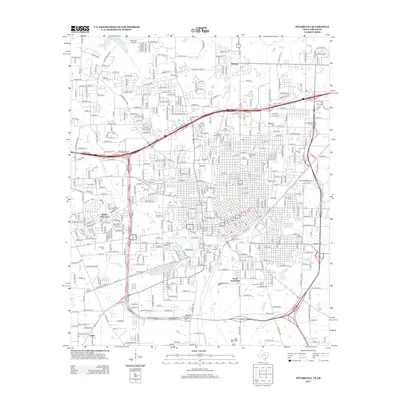 2013 Texarkana2013 Print · USGSCovers Eylau, including Texarkana, Texarkana, and other nearby areas
 - 2016 Map of Texarkana, 2016 Print
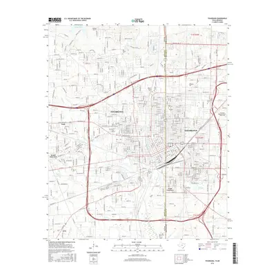 2016 Texarkana2016 Print · USGSCovers Eylau, including Texarkana, Texarkana, and other nearby areas
 - 2019 Map of Texarkana, 2019 Print
 2019 Texarkana2019 Print · USGSCovers Eylau, including Texarkana, Texarkana, and other nearby areas
 - 2022 Map of Texarkana, 2022 Print
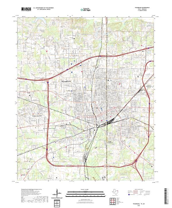 2022 Texarkana2022 Print · USGSTexarkana and its neighboring communities are shown in fine detail during a period of modern urban growth along the state line. Genealogists can locate numerous burial grounds such as Hillcrest Cem, Nash Cem, and Holy Cross Cem, alongside the historic Texas and Pacific RR.
End of results
Showing maps 1-6 of 6
Top cities near Eylau
- Texarkana historical maps
- Texarkana historical maps
- Wake Village historical maps
- Nash historical maps
- Hooks historical maps
- Queen City historical maps
See more
Frequently asked questions
- What are the different types of historical maps available for Eylau?
- What is the oldest map of Eylau?
- Where can I purchase historical maps of Eylau for my home or office?
- Where can I download high-res historical maps of Eylau?
- Are there historical topographic maps available for Eylau?
- Is there historical aerial imagery available for Eylau?
- Where are historical maps of Eylau sourced from?