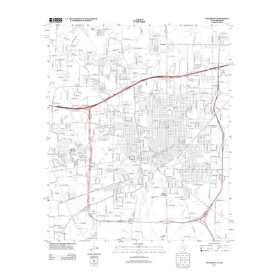
2013 Map of Texarkana
USGS Topo · Published 2013About this map
Wake Village and South Texarkana anchor this urban landscape where the Texas and Arkansas borders converge. The area is defined by a dense network of civic and educational institutions, including the Texas A & M University-Texarkana campus and Texarkana Coll, alongside established neighborhoods and extensive memorial grounds. A diverse array of cemeteries, such as State Line Cem, Rose Hill Cem, and Hillcrest Cem, provides significant points of interest for genealogical research.
Find a feature on this map
446 named features on this map. Tap any name to fly to it.
Don’t see what you’re looking for? This feature index may not catch every label — zoom into the map to look around manually.
Map Details
Editions of this 2013 Texarkana Map
This is the sole edition of this map. No revisions or reprints were ever made.
Other maps of this area

1909 · Texarkana
USGS Topo · 1:62,500

1950 · Ogden
USGS Topo · 1:24,000

1950 · Barkman
USGS Topo · 1:24,000

1951 · Ogden
USGS Topo · 1:24,000

1951 · Barkman
USGS Topo · 1:24,000

1951 · Homan
USGS Topo · 1:24,000

1952 · Mandeville
USGS Topo · 1:24,000

1952 · Fouke
USGS Topo · 1:24,000

1953 · Texarkana
USGS Topo · 1:250,000

1953 · El Dorado
USGS Topo · 1:250,000