Old Maps of Churchill, Texas for Genealogy
Trace your family roots with 10 historic maps of Churchill. These high-res maps reveal old neighborhoods, homesites, landmarks, and streets — helping you uncover where your ancestors lived and how the area evolved over time.
- Explore historic neighborhoods: Identify where your relatives may have lived in the 1800s or 1900s.
- Compare maps over time: Trace the changes in streets, buildings, and landmarks for multi-generational research.
- Perfect for genealogy & ancestry research: Used by family historians and researchers to map out lineage and migration.
These maps are an incredible resource for exploring your personal connection to Churchill's past.
Churchill, TX maps
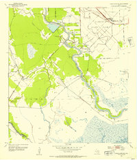
(10)- 1951 Map of Bay City
 1951 Bay City1951 Print · USGSThe mid-century Texas Gulf Coast comes to life in this survey of the delta region where the Brazos and Colorado Rivers meet the sea. Researchers can trace the industrial footprint of Freeport or locate family-named spots like Mangun and Hawkinsville.
 - 1952 Map of Cedar Lane NE, 1953 Print
 1952 Cedar Lane NE1953 Print · USGSBrazoria County at mid-century reveals a landscape defined by state land use and river-based industry along the Gulf Coast. Genealogists and historians can trace local landmarks like Jerusalem Sch, the rural Galilee Ch, and the industrial Sulphur Plant.3 unique versions available
 - 1956 Map of Bay City, 1964 Print
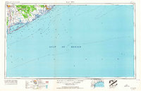 1956 Bay City1964 Print · USGSThe Texas Gulf Coast comes into focus in the mid-1950s, showing the intricate bayous and coastal settlements from Bay City to Freeport. Researchers can trace the legacy of shoreline communities like Sargent, Matagorda Beach, and Hawkinsville before modern coastal changes.2 unique versions available
 - 1958 Map of Bay City
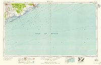 1958 Bay City1958 Print · USGSThe Texas Gulf Coast in the late fifties shows a landscape of growing petrochemical plants and intricate wetlands. Genealogists and historians can trace the paths of the Missouri Pacific railroad through Bay City or locate old settlements like Hinkle Ferry and Hawkinsville.
 - 1974 Map of Bay City, 1978 Print
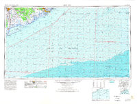 1974 Bay City1978 Print · USGSThe Texas Gulf Coast in the mid-seventies reveals a landscape of sprawling wetlands and coastal transit hubs. Genealogists and historians can trace the rail corridors of the Missouri Pacific or locate early settlements like Wadsworth and Matagorda.
 - 2010 Map of Cedar Lane NE, 2010 Print
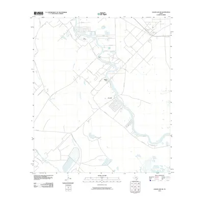 2010 Cedar Lane NE2010 Print · USGSCovers Churchill, including Jones Creek, Hinkles Ferry, and other nearby areas
 - 2013 Map of Cedar Lane NE, 2013 Print
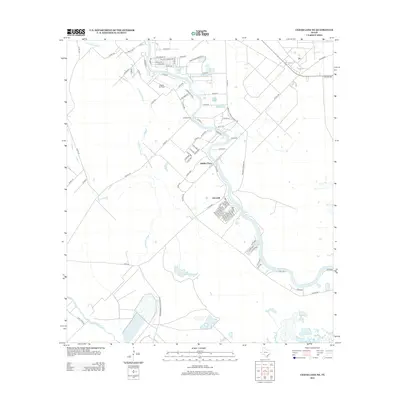 2013 Cedar Lane NE2013 Print · USGSCovers Churchill, including Jones Creek, Hinkles Ferry, and other nearby areas
 - 2016 Map of Cedar Lane NE, 2016 Print
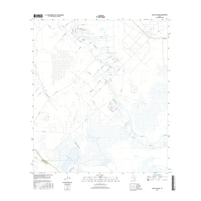 2016 Cedar Lane NE2016 Print · USGSCovers Churchill, including Jones Creek, Hinkles Ferry, and other nearby areas
 - 2019 Map of Cedar Lane NE, 2019 Print
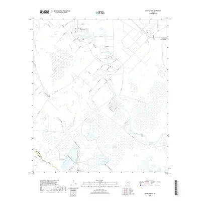 2019 Cedar Lane NE2019 Print · USGSCovers Churchill, including Jones Creek, Hinkles Ferry, and other nearby areas
 - 2022 Map of Cedar Lane NE, 2022 Print
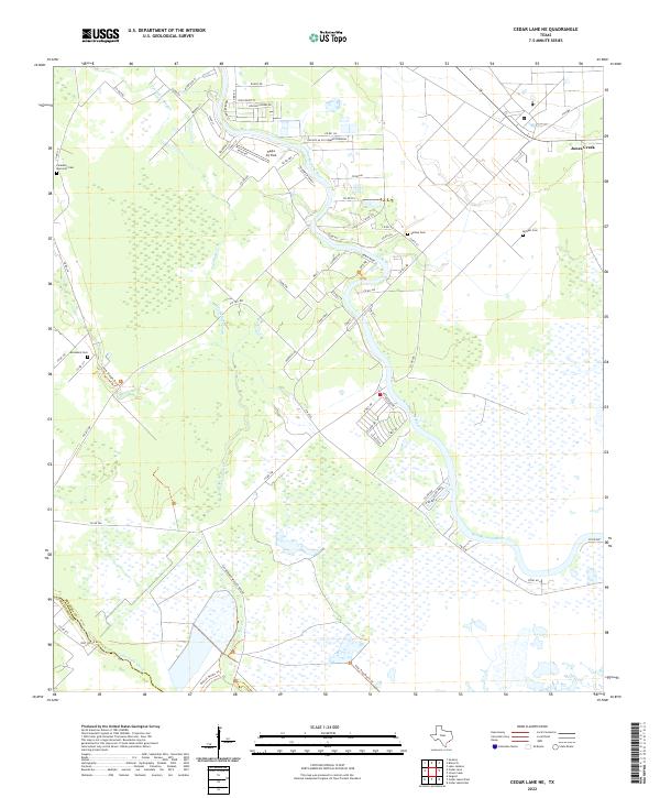 2022 Cedar Lane NE2022 Print · USGSThe coastal wetlands of Brazoria County come into focus in this recent survey of the lower San Bernard River. Genealogists and local historians can locate several community burial sites like Galilee Cem and trace the boundaries of the San Bernard Wildlife Refuge.
End of results
Showing maps 1-10 of 10
Top cities near Churchill
- Lake Jackson historical maps
- Alvin historical maps
- Angleton historical maps
- Freeport historical maps
- Clute historical maps
- West Columbia historical maps
See more
Frequently asked questions
- What are the different types of historical maps available for Churchill?
- What is the oldest map of Churchill?
- Where can I purchase historical maps of Churchill for my home or office?
- Where can I download high-res historical maps of Churchill?
- Are there historical topographic maps available for Churchill?
- Is there historical aerial imagery available for Churchill?
- Where are historical maps of Churchill sourced from?