2000s (21st Century) Maps of Lazy Palms, Texas
Explore 6 historic maps of Lazy Palms from the 2000s (21st Century). These maps offer a rare glimpse into what life looked like during the 2000s — showing old roads, neighborhoods, homes, and landmarks that have changed or disappeared over time.
Whether you're researching your family's past, planning a metal detecting trip, or studying how Lazy Palms's landscape evolved across the 2000s, these high-resolution maps are a powerful tool for exploring the history of this region.
- Focus on a specific era: All maps on this page are from the 2000s, giving you a focused view of this time period.
- See what’s changed: Compare century-old streets, trails, and buildings to today's modern landscape using overlays and satellite layers.
- Research with precision: Use these maps for genealogy, historical research, land use analysis, or educational projects.
- View, download, or print: Maps are fully viewable online in high resolution, and can be downloaded or printed for your own records.
Start exploring Lazy Palms's history through authentic maps from the 2000s. This is your window into the past.
Lazy Palms, TX maps
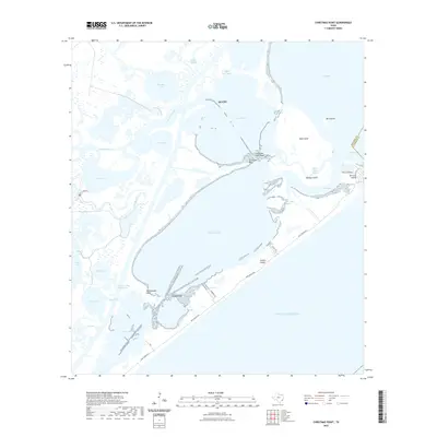
(6)- 2010 Map of Christmas Point, 2010 Print
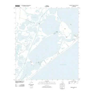 2010 Christmas Point2010 Print · USGSCovers Lazy Palms, including Galveston, Alvin, and other nearby areas
 - 2013 Map of Christmas Point, 2013 Print
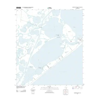 2013 Christmas Point2013 Print · USGSCovers Lazy Palms, including Galveston, Alvin, and other nearby areas
 - 2016 Map of Christmas Point, 2016 Print
 2016 Christmas Point2016 Print · USGSCovers Lazy Palms, including Galveston, Alvin, and other nearby areas
 - 2019 Map of Christmas Point, 2019 Print
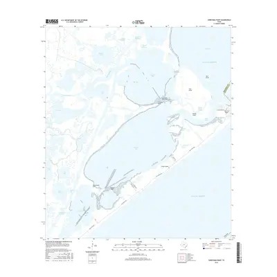
 2019 Christmas Point2019 Print · USGSCovers Lazy Palms, including Galveston, Alvin, and other nearby areas
 - 2022 Map of Christmas Point, 2022 Print
 2022 Christmas Point2022 Print · USGSCovers Lazy Palms, including Galveston, Alvin, and other nearby areas
 - 2025 Map of Christmas Point, 2025 Print
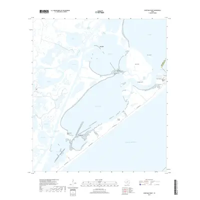
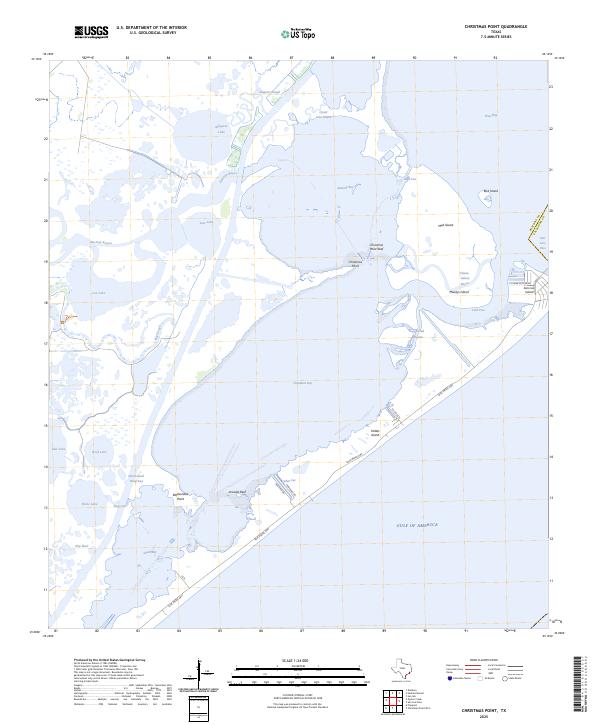 2025 Christmas Point2025 Print · USGSBrazoria County’s barrier islands and bayous are captured here in the mid-2020s, showing the intersection of coastal settlement and the Gulf of America. Trace the developed streets of San Luis Island and the shipping route of the Intracoastal Waterway.
End of results
Showing maps 1-6 of 6
Top cities near Lazy Palms
- Galveston historical maps
- Lake Jackson historical maps
- Alvin historical maps
- Freeport historical maps
- Clute historical maps
- Hitchcock historical maps
See more
Frequently asked questions
- What are the different types of historical maps available for Lazy Palms?
- What is the oldest map of Lazy Palms?
- Where can I purchase historical maps of Lazy Palms for my home or office?
- Where can I download high-res historical maps of Lazy Palms?
- Are there historical topographic maps available for Lazy Palms?
- Is there historical aerial imagery available for Lazy Palms?
- Where are historical maps of Lazy Palms sourced from?