Old Maps of Green Tee Terrace, Pearland for Academic Research
Study the evolution of Green Tee Terrace with 24 high-resolution historic maps. Whether you're teaching, researching, or modeling changes in land use, these maps provide essential visual documentation of urban, environmental, and geographic change.
- Analyze long-term change: Track patterns in development, transportation, and natural features.
- Ideal for environmental or urban studies: Support academic projects with primary historical map data.
- Use in the classroom or lab: Educators and researchers rely on these maps to bring historical context to life.
These maps are a powerful tool for teaching, research, and visualizing how Green Tee Terrace has changed over the decades.
Green Tee Terrace, Pearland maps
(24)- 1916 Map of Genoa
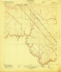 1916 Genoa1916 Print · USGSSoutheast Texas coastal prairie development is captured here during the First World War era, showing the intersection of early electric rail and county life. Trace the old routes of the Galveston Houston Electric or locate the Friendswood Bridge and Genoa Sta along the Harris County line.2 unique versions available
 - 1920 Map of Genoa
 1920 Genoa1920 Print · USGSSoutheast Texas at the end of the Great War shows a landscape defined by new airfields and electric transit. Genealogists and historians can trace the early rail corridor serving Genoa, the initial layout of Ellington Field, and the crossing at Friendswood Bridge.
 - 1920 Map of Mykawa
 1920 Mykawa1920 Print · USGSIn the early twentieth century, the Gulf Coast prairie around Mykawa was a landscape of emerging rail stops and rural schoolhouses. Genealogists and historians can trace the early paths of the Houston and Alvin Road and the Minnetex School.3 unique versions available
 - 1932 Map of Genoa
 1932 Genoa1932 Print · USGSSoutheast Texas coastal prairie life in the early thirties is defined by emerging aviation and rail corridors. Genealogists can trace family footprints near Genoa or find the early layout of Olcott (Ellington Field) and the Friendswood Bridge.3 unique versions available
 - 1950 Map of Houston, 1953 Print
 1950 Houston1953 Print · USGSCoastal Texas in the early fifties reveals a landscape of massive civil engineering and industrial transit. Genealogists and researchers can trace the growth of the Houston suburbs and the maritime infrastructure of Galveston Bay, including the Gulf Freeway and the Texas City Dike.
 - 1955 Map of Friendswood, 1957 Print
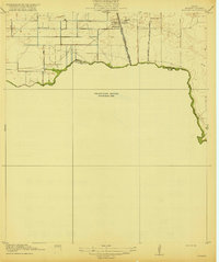
 1955 Friendswood1957 Print · USGSSoutheastern Texas in the mid-fifties reveals an landscape of emerging aviation and oil production. Trace family landmarks and industrial roots at Ellington Air Force Base, the Friendswood Oil Field, and Whitcomb Cem.3 unique versions available
 - 1955 Map of Pearland, 1957 Print
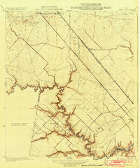
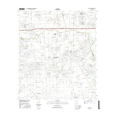
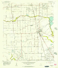 1955 Pearland1957 Print · USGSThe mid-century Texas coastal plain near Pearland reveals a landscape of developing suburbs and active petroleum drilling. Trace the growth of Skyscraper Shadows, locate family sites at Dagg Cem, or study the industrial footprint of the Manvel Field.2 unique versions available
 - 1956 Map of Houston, 1963 Print
 1956 Houston1963 Print · USGSSoutheast Texas in the mid-fifties is captured here as a powerhouse of oil and maritime trade. Genealogists and historians can trace the foundations of Houston and its ports, alongside landmarks like the Rice Institute and the Spindletop Oil Field.2 unique versions available
 - 1975 Map of Houston, 1977 Print
 1975 Houston1977 Print · USGSThe Texas Gulf Coast in the mid-seventies shows a sprawling Houston metropolis linked to the sea by the massive Houston Ship Channel. Researchers can trace the mid-century industrial landscape from the Astrodome to the Lyndon B. Johnson Space Center.2 unique versions available
 - 1982 Map of Freindswood, 1983 Print
 1982 Freindswood1983 Print · USGSSoutheast Texas at the start of the eighties shows a landscape of rapid suburban growth and active energy production. Genealogists and local historians can trace the development of Wedgewood Village and Forest Bend alongside the Hastings Oil Field and Ellington Air Force Base.2 unique versions available
 - 1982 Map of Pearland, 1983 Print
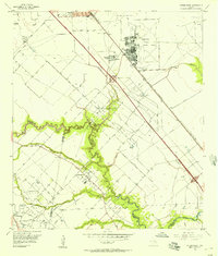
 1982 Pearland1983 Print · USGSPearland and the northern Brazoria County border are captured here in the early eighties as suburban growth begins to encircle the local oil fields. Researchers can locate family plots at South Park Cemetery or trace the early runways of Pearland Airport and Skyway Manor Airport.
 - 1992 Map of Houston
 1992 Houston1992 Print · USGSThe Houston metropolitan area reached its modern sprawl in the early nineties, centered on the Buffalo Bayou and a massive regional rail network. Genealogists and historians can trace the development of satellite cities like Sugar Land and Pasadena, or locate legacy sites like the Humble Oil Field and the NASA Lyndon B Johnson Space Center.
 - 1995 Map of Pearland, 1998 Print
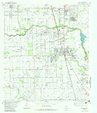
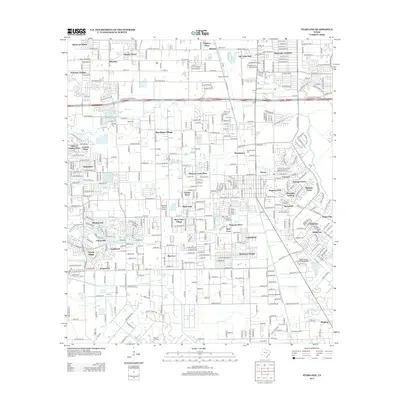
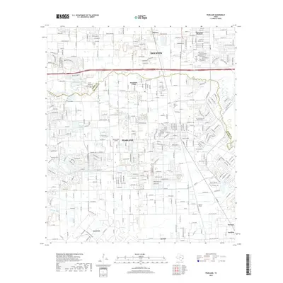
 1995 Pearland1998 Print · USGSThe northern reaches of Brazoria County and the outskirts of Houston are captured here during a mid-nineties period of rapid suburban growth. Researchers can trace the layout of early settlements like Minnetex and Brookside Village alongside several burial grounds including Old Pearland Cem and South Park Cemetery.
 - 1995 Map of Friendswood, 1999 Print
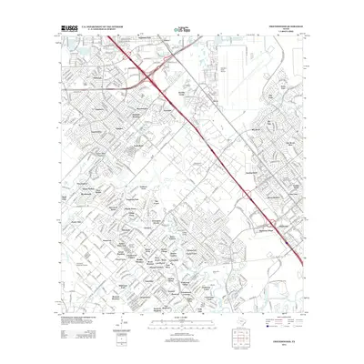
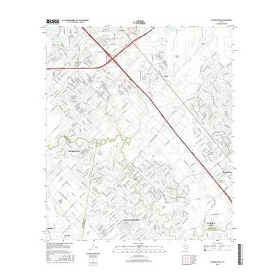
 1995 Friendswood1999 Print · USGSCoastal Texas industry and suburban growth converge south of Houston in the mid-1990s as oil fields meet new residential subdivisions. Genealogists and historians can trace the development of Friendswood and Pearland alongside Whitcomb Cem and the Friendswood Oil Field.
 - 2010 Map of Friendswood, 2010 Print
 2010 Friendswood2010 Print · USGSCovers Green Tee Terrace, including Houston, Pearland, and other nearby areas
 - 2010 Map of Pearland, 2010 Print
 2010 Pearland2010 Print · USGSCovers Green Tee Terrace, including Houston, Pearland, and other nearby areas
 - 2013 Map of Pearland, 2013 Print
 2013 Pearland2013 Print · USGSCovers Green Tee Terrace, including Houston, Pearland, and other nearby areas
 - 2013 Map of Friendswood, 2013 Print
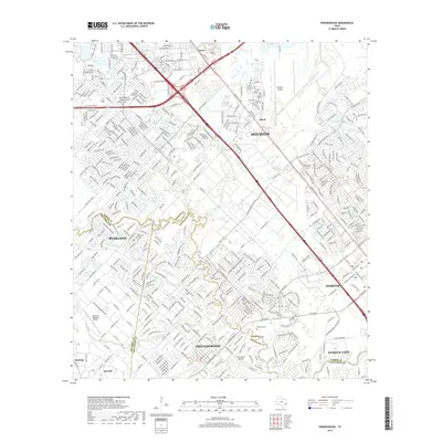
 2013 Friendswood2013 Print · USGSCovers Green Tee Terrace, including Houston, Pearland, and other nearby areas
 - 2016 Map of Pearland, 2016 Print
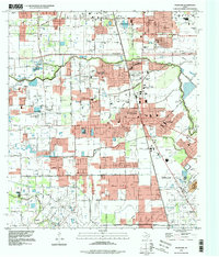
 2016 Pearland2016 Print · USGSCovers Green Tee Terrace, including Houston, Pearland, and other nearby areas
 - 2016 Map of Friendswood, 2016 Print
 2016 Friendswood2016 Print · USGSCovers Green Tee Terrace, including Houston, Pearland, and other nearby areas
 - 2019 Map of Friendswood, 2019 Print
 2019 Friendswood2019 Print · USGSCovers Green Tee Terrace, including Houston, Pearland, and other nearby areas
 - 2019 Map of Pearland, 2019 Print
 2019 Pearland2019 Print · USGSCovers Green Tee Terrace, including Houston, Pearland, and other nearby areas
 - 2022 Map of Friendswood, 2022 Print
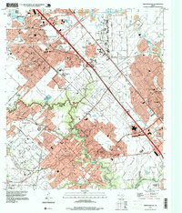
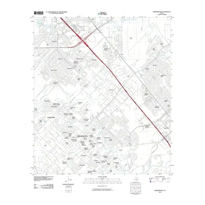
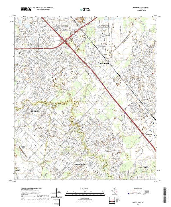 2022 Friendswood2022 Print · USGSThe Gulf Coast suburbs south of Houston were rapidly maturing by the early 2020s, dominated by modern aviation and intricate waterways. Researchers can trace local heritage at the Friendswood Friends Church Cemetery or explore the aviation footprints of Ellington Airport and Polly Ranch Airport.
 - 2022 Map of Pearland, 2022 Print
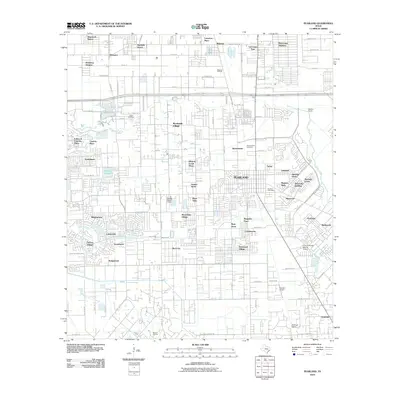
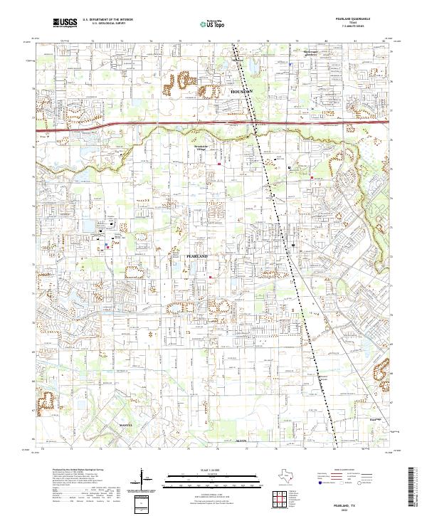 2022 Pearland2022 Print · USGSThe Pearland area in the early twenty-first century shows a landscape where historic burial grounds and small airfields meet modern suburban expansion. Genealogists can locate Old Settlers Cem and Southern Memorial Gardens among the newer developments.
End of results
Showing maps 1-24 of 24
Frequently asked questions
- What are the different types of historical maps available for Green Tee Terrace?
- What is the oldest map of Green Tee Terrace?
- Where can I purchase historical maps of Green Tee Terrace for my home or office?
- Where can I download high-res historical maps of Green Tee Terrace?
- Are there historical topographic maps available for Green Tee Terrace?
- Is there historical aerial imagery available for Green Tee Terrace?
- Where are historical maps of Green Tee Terrace sourced from?