Old Maps of Kurten, Texas for Metal Detecting
Plan your next treasure hunt with 15 historic maps of Kurten. Find old homesites, ghost towns, trails, and gathering spots that may be lost to time — perfect for identifying promising metal detecting locations.
- Locate forgotten sites: Uncover places like long-lost settlements, abandoned rail lines, or gathering spots.
- Plan better hunts: Use map overlays combined with LiDAR or satellite views to narrow in on historically rich areas.
- Made for detectorists: Thousands of hobbyists use these maps to discover relics, coins, and hidden history.
Use these historic maps to boost your research and find new opportunities beneath the surface of Kurten.
Kurten, TX maps
(15)- 1931 Map of Iola
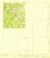 1931 Iola1931 Print · USGSThe Navasota River basin in the mid-1920s shows a landscape of river-bottom lakes and rural outposts. Genealogists can locate family landmarks like Keefer Cem and Nash Cem or the local hub at Burns Store.2 unique versions available
 - 1954 Map of Austin, 1964 Print
 1954 Austin1964 Print · USGSCentral Texas is captured during a period of steady growth as the capital city and its neighboring farm towns began to modernize. Researchers can trace historic rail corridors like the Southern Pacific RR or locate landmarks such as Bergstrom Air Force Base and Pilot Knob.4 unique versions available
 - 1959 Map of Clear Lake, 1960 Print
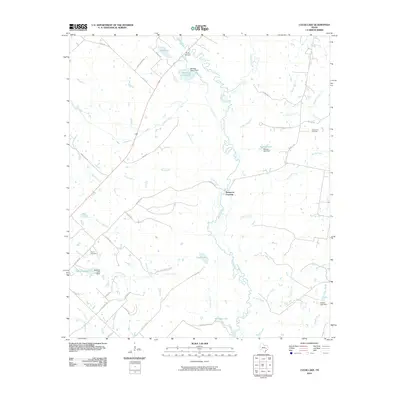
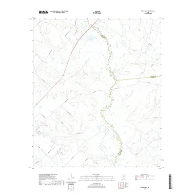
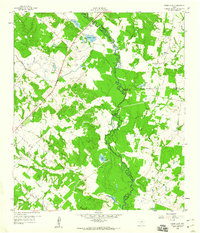 1959 Clear Lake1960 Print · USGSThe Navasota River bottomlands are captured here in the late fifties at the meeting of Brazos, Madison, and Grimes Counties. Researchers can trace rural landmarks like Williamson Cem, find old river transits at Democrat Crossing, or locate Brushy Lake.3 unique versions available
 - 1963 Map of Kurten, 1964 Print
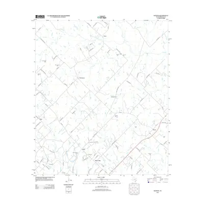
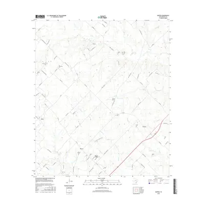
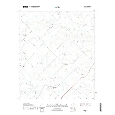
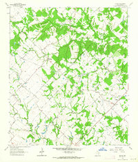 1963 Kurten1964 Print · USGSBrazos County is captured in the early sixties as a region of tight-knit rural communities and family landholdings. Researchers can locate numerous family burial sites and country churches, including Schultze Cem, Cottonwood Ch, and the settlement of Kurten.2 unique versions available
 - 1993 Map of Bryan
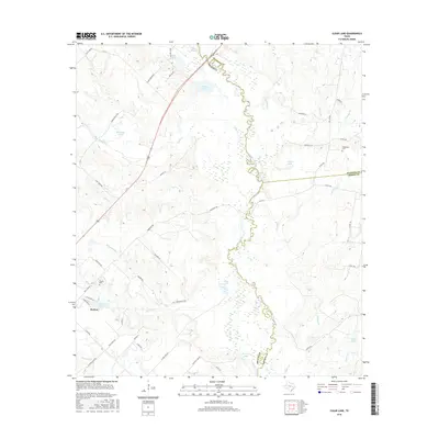
 1993 Bryan1993 Print · USGSBrazos Valley life in the early nineties centered on the rapid growth of College Station and the agricultural heartbeat of the river bottomlands. Genealogists and historians can trace the paths of the Kings Highway, several rail lines, and local landmarks like City Cem and Texas A&M University.
 - 2010 Map of Kurten, 2010 Print
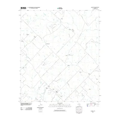 2010 Kurten2010 Print · USGSCovers Kurten, including Wixon Valley, Cottonwood, and other nearby areas
 - 2010 Map of Clear Lake, 2010 Print
 2010 Clear Lake2010 Print · USGSCovers Kurten, including Brazos County, Grimes County, and other nearby areas
 - 2013 Map of Kurten, 2013 Print
 2013 Kurten2013 Print · USGSCovers Kurten, including Wixon Valley, Cottonwood, and other nearby areas
 - 2013 Map of Clear Lake, 2013 Print
 2013 Clear Lake2013 Print · USGSCovers Kurten, including Brazos County, Grimes County, and other nearby areas
 - 2016 Map of Clear Lake, 2016 Print
 2016 Clear Lake2016 Print · USGSCovers Kurten, including Brazos County, Grimes County, and other nearby areas
 - 2016 Map of Kurten, 2016 Print
 2016 Kurten2016 Print · USGSCovers Kurten, including Wixon Valley, Cottonwood, and other nearby areas
 - 2019 Map of Clear Lake, 2019 Print
 2019 Clear Lake2019 Print · USGSCovers Kurten, including Brazos County, Grimes County, and other nearby areas
 - 2019 Map of Kurten, 2019 Print
 2019 Kurten2019 Print · USGSCovers Kurten, including Wixon Valley, Cottonwood, and other nearby areas
 - 2022 Map of Clear Lake, 2022 Print
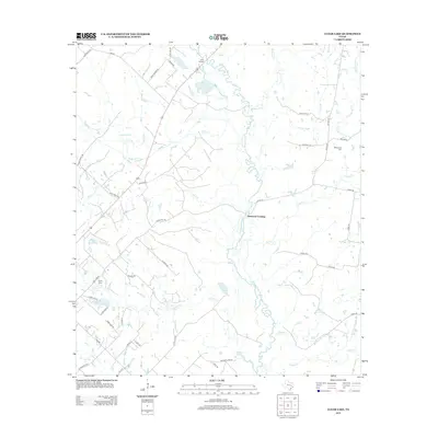
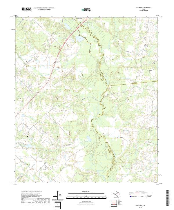 2022 Clear Lake2022 Print · USGSIn this contemporary Brazos County landscape, the meandering Navasota River marks the eastern county lines. Researchers can trace local history through the Williamson Cem, the settlement of Kurten, and prominent water bodies like Clear Lake.
 - 2022 Map of Kurten, 2022 Print
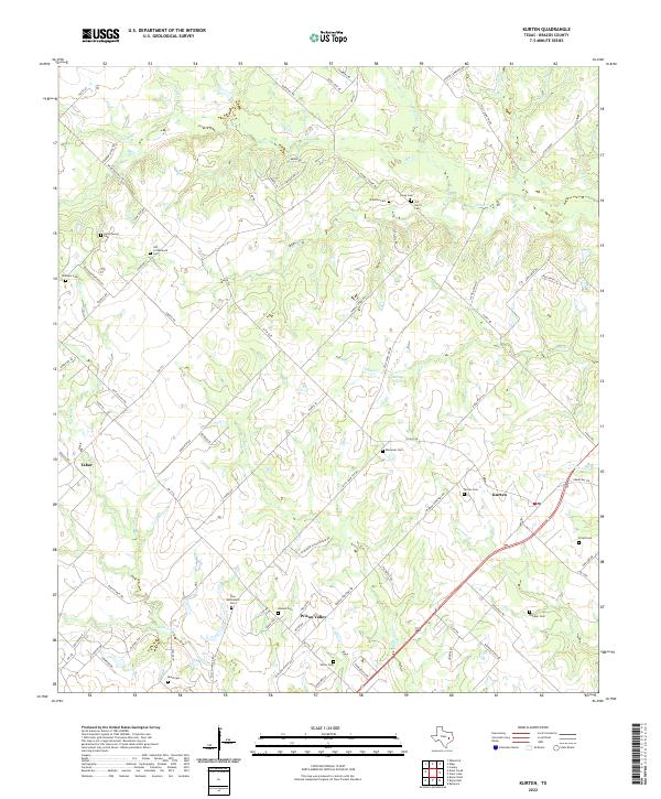 2022 Kurten2022 Print · USGSBrazos County settlement patterns are preserved here in the early twenty-first century, showing the rural communities of Kurten and Wixon Valley. Researchers can trace numerous family burial sites, including Old Cottonwood Cem and Jim Harris Cem.
End of results
Showing maps 1-15 of 15
Top cities near Kurten
- College Station historical maps
- Bryan historical maps
- Franklin historical maps
- Wixon Valley historical maps
Frequently asked questions
- What are the different types of historical maps available for Kurten?
- What is the oldest map of Kurten?
- Where can I purchase historical maps of Kurten for my home or office?
- Where can I download high-res historical maps of Kurten?
- Are there historical topographic maps available for Kurten?
- Is there historical aerial imagery available for Kurten?
- Where are historical maps of Kurten sourced from?