
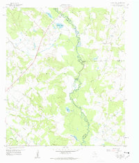
1959 Map of Clear Lake
USGS Topo · Published 1960About this map
The Navasota River carves a complex, meandering path through this landscape, serving as the primary boundary between Brazos, Madison, and Grimes Counties. In the late 1950s, this area was characterized by its dense network of riparian features and creek systems, including Allcorn Creek, Sand Creek, and Neville Creek. The presence of oxbow-style lakes like Clear Lake and Brushy Lake indicates the river's historical shifting, while named points like Democrat Crossing and Three Bridges highlight the critical, limited transit points across the bottomlands.
Find a feature on this map
30 named features on this map. Tap any name to fly to it.
Don’t see what you’re looking for? This feature index may not catch every label — zoom into the map to look around manually.
Map Details
Editions of this 1959 Clear Lake Map
3 editions found
Other maps of this area

1925 · Iola No 2
USGS Topo · 1:48,000

1931 · Iola
USGS Topo · 1:62,500

1954 · Austin
USGS Topo · 1:250,000

1956 · Bryan
USGS Topo · 1:62,500

1956 · Carlos
USGS Topo · 1:62,500

1959 · Reliance
USGS Topo · 1:24,000

1962 · Edge
USGS Topo · 1:24,000

1962 · Keith
USGS Topo · 1:24,000

1962 · Bryan East
USGS Topo · 1:24,000
1963 · Kurten
USGS Topo · 1:24,000