Old Maps of Woodburn Place, Texas
Explore 11 old maps of Woodburn Place, spanning from 1954 to today. These high-resolution historic maps reveal how streets, neighborhoods, landmarks, and natural features evolved over time — perfect for genealogy, metal detecting, research, and local history exploration.
What you can do with these maps:
- See how Woodburn Place changed over time: Compare historical maps to modern-day views to trace roads, homesites, rail lines & more.
- View detailed metadata: Each map includes creators, publishers, year, scale, and archive source.
- Overlay maps with satellite & LiDAR: Visualize the past alongside modern tools to explore terrain & human change.
- Trusted historical sources: Maps sourced from the USGS, Library of Congress, and other archives.
- Access maps your way: View online, download high-res files, or order prints for personal or research use.
Start exploring old maps of Woodburn Place to uncover forgotten places, hidden landmarks, and the deep history beneath your feet.
Woodburn Place, TX maps
(11)- 1954 Map of Plainview, 1966 Print
 1954 Plainview1966 Print · USGSThe Texas Panhandle and the rugged Caprock Escarpment appear in detail as the region's agricultural and rail networks reached their mid-century peak. Trace family roots and old land patterns through the canyons and plains near Plainview, Palo Duro State Park, and Childress.3 unique versions available
 - 1958 Map of Plainview
 1958 Plainview1958 Print · USGSThe High Plains and Caprock Escarpment meet in the late fifties, showcasing the ranching and rail networks of the Texas Panhandle. Trace family roots and vanished stops along the Panhandle and Santa Fe railroad through Plainview, Silverton, and Matador.
 - 1960 Map of Indian Peak, 1963 Print
 1960 Indian Peak1963 Print · USGSBriscoe County ranching and the deep cuts of the Panhandle canyons are recorded here in the early sixties. Researchers can find old cattle camps and family holdings including Woodburn Ranch, Indian Peak, and the Stinkhole Divide.
 - 1976 Map of Indian Peak NE, 1978 Print
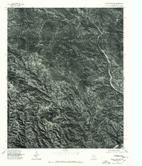 1976 Indian Peak NE1978 Print · USGSThe Texas panhandle near Briscoe is captured during the mid-seventies in this detailed orthophotograph. Researchers can trace the exact 1976 drainage patterns of Battle Creek and the winding course of Willow Arroyo.
 - 1985 Map of Willow Arroyo
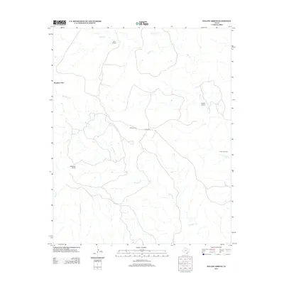
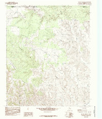 1985 Willow Arroyo1985 Print · USGSBriscoe County ranching lands in the mid-1980s show a landscape of deep arroyos and cattle corrals where Armstrong and Donley counties meet. Trace the rugged drainage of Willow Arroyo and Stinkhole Divide to locate old water sources like Lone Tree Creek.
 - 1985 Map of Tulia
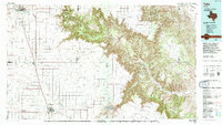 1985 Tulia1985 Print · USGSThe Texas Panhandle in the mid-1980s displays a stark landscape where industrial agriculture meets the deep breaks of Palo Duro Canyon. Genealogists and researchers can trace rural life near Tulia or find old community centers like Vigo Park, Wayside, and Cleta.2 unique versions available
 - 2010 Map of Willow Arroyo, 2010 Print
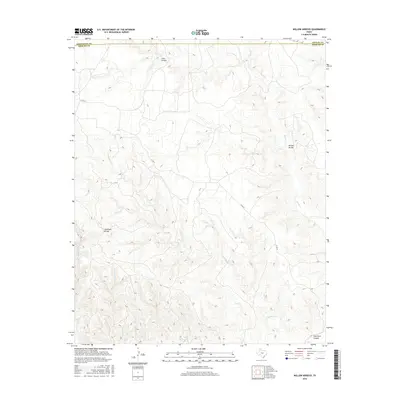
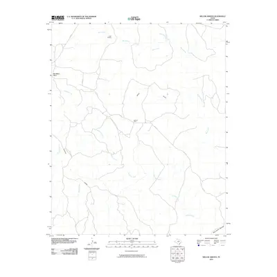 2010 Willow Arroyo2010 Print · USGSCovers Woodburn Place, including Armstrong County, Briscoe County, and other nearby areas
 - 2012 Map of Willow Arroyo, 2012 Print
 2012 Willow Arroyo2012 Print · USGSCovers Woodburn Place, including Armstrong County, Briscoe County, and other nearby areas
 - 2016 Map of Willow Arroyo, 2016 Print
 2016 Willow Arroyo2016 Print · USGSCovers Woodburn Place, including Armstrong County, Briscoe County, and other nearby areas
 - 2019 Map of Willow Arroyo, 2019 Print
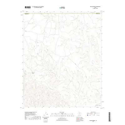 2019 Willow Arroyo2019 Print · USGSCovers Woodburn Place, including Armstrong County, Briscoe County, and other nearby areas
 - 2022 Map of Willow Arroyo, 2022 Print
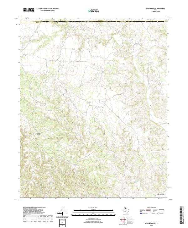 2022 Willow Arroyo2022 Print · USGSBriscoe County, Texas, is shown in the early twenty-first century at the intersection of three panhandle counties. Researchers can trace the rugged drainage patterns of Stinkhole Divide and follow the northern reaches of Palo Duro Canyon.
End of results
Showing maps 1-11 of 11
Top cities near Woodburn Place
Frequently asked questions
- What are the different types of historical maps available for Woodburn Place?
- What is the oldest map of Woodburn Place?
- Where can I purchase historical maps of Woodburn Place for my home or office?
- Where can I download high-res historical maps of Woodburn Place?
- Are there historical topographic maps available for Woodburn Place?
- Is there historical aerial imagery available for Woodburn Place?
- Where are historical maps of Woodburn Place sourced from?