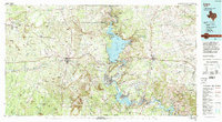
Old Maps of Burnet, Texas for Hiking & Exploration
Hike through history with 37 historic maps of Burnet. Explore old trails, ghost towns, and forgotten backroads — perfect for outdoor adventurers and local explorers.
- Rediscover forgotten places: Map out old mining camps, roads, and footpaths that no longer exist on modern maps.
- Layer with modern tools: Combine with LiDAR or satellite views to plan hikes through historical terrain.
- Made for exploration: Popular among hikers, overlanders, and local history lovers.
Use these maps to find adventure and explore the hidden past of Burnet.
Burnet, TX maps
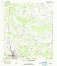
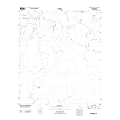
(37)- 1887 Map of Burnet
 1887 Burnet1887 Print · USGSCentral Texas in the late nineteenth century is defined here by the arrival of the rail line and the wild course of the Colorado River. Genealogists and historians can trace early settlements and transit points like Tiger Mill, Bluffton, and Wolf Crossing.
 - 1893 Map of Burnet
 1893 Burnet1893 Print · USGSThe Texas Hill Country comes alive in this late nineteenth-century survey, showcasing a landscape of river crossings and early rail expansion. Researchers can locate vanished communities and rural landmarks like Tiger Mill, Wolf Crossing, and the old depot at Bertram.
 - 1903 Map of Burnet
 1903 Burnet1903 Print · USGSThe Texas Hill Country at the turn of the century shows a landscape of river-side industry and early rail expansion. Trace the historic Houston and Texas Central Railroad line through Burnet and Bertram or locate long-standing landmarks like Morman Mill and Tanyard Crossing.
 - 1909 Map of Burnet
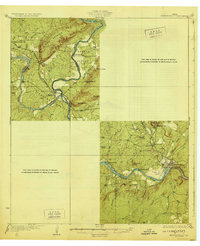
 1909 Burnet1909 Print · USGSThe Texas Hill Country at the turn of the century shows a landscape of river crossings and rail towns before the creation of the Highland Lakes. Genealogists can locate family-named landmarks like Morman Mill, Tumlinson, and rural schoolhouses such as Berry School or Sunny Lane.3 unique versions available
 - 1929 Map of Marble Falls
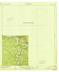
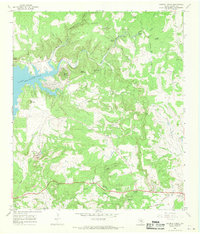
 1929 Marble Falls1929 Print · USGSThe Texas Hill Country at the end of the 1920s shows the original river channels and granite industry before major reservoir construction. Trace early rail stops like Wood Spur and local landmarks such as Granite Mtn and Hoover Sch.
 - 1932 Map of Tow
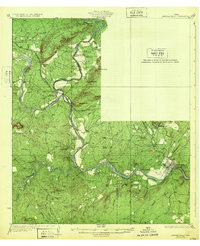
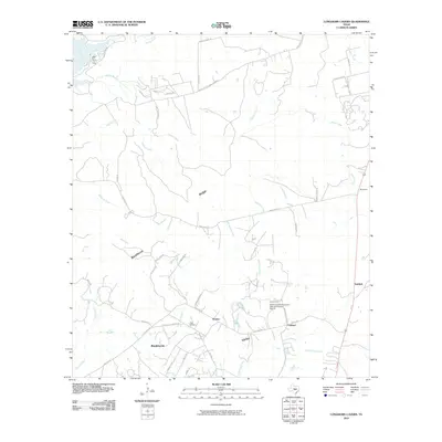
 1932 Tow1932 Print · USGSThe Colorado River valley along the Llano and Burnet county line is captured here in the mid-1920s, before the landscape was altered by dams. Researchers can locate the settlement of Bluffton, the Bluffton Sch, and the river crossing at Saltworks Ford.2 unique versions available
 - 1932 Map of Marble Falls
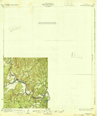
 1932 Marble Falls1932 Print · USGSThe Colorado River valley at the LLano and Burnet County line is shown here in the early thirties, before the creation of the modern lakes. Researchers can trace the Southern Pacific rail line through Kingsland and locate rural schools like La Vista School and Hoover School.2 unique versions available
 - 1932 Map of Bertram
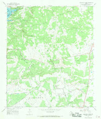
 1932 Bertram1932 Print · USGSBurnet County’s river-bound landscape is documented here in the early 1930s, featuring the rural life of Smithwick and the winding COLORADO RIVER. Genealogists can trace family footprints at Pleasant Valley Sch, Hale Ch, and historic river fords like SINGLETON CROSSING.2 unique versions available
 - 1954 Map of Llano, 1964 Print
 1954 Llano1964 Print · USGSThe Texas Hill Country and Highland Lakes appear in the mid-fifties, just as new reservoirs began reshaping the landscape. Trace ranching history and river routes from Mason to Llano, or follow the Gulf Colorado and Santa Fe RR past Buchanan Lake.2 unique versions available
 - 1955 Map of Llano
 1955 Llano1955 Print · USGSCentral Texas and the Hill Country are seen here during the mid-1950s growth of the Highland Lakes. Trace old settlements and geologic landmarks from Enchanted Rock and Longhorn Cavern to the small community of Luckenbach.
 - 1956 Map of Llano, 1976 Print
 1956 Llano1976 Print · USGSThe Texas Hill Country comes alive in this mid-seventies survey of the Llano Uplift and Colorado River lakes. Genealogists and historians can trace family roots through settlements like Luckenbach and Castell or locate the famed L B J Ranch and Enchanted Rock.
 - 1967 Map of Burnet, 1969 Print
 1967 Burnet1969 Print · USGSBurnet and the surrounding ranchlands are captured here in the late sixties as the area's rail-and-river geography shaped local growth. Genealogists and historians can locate legacy sites like the Fort Croghan Historical Site, Bethel Cem, and the Old Grade Railroad.2 unique versions available
 - 1967 Map of Longhorn Cavern, 1969 Print
 1967 Longhorn Cavern1969 Print · USGSThe Burnet County Hill Country is captured here in the late sixties as the region's parklands and rail lines defined the local economy. Researchers can trace family sites like Tobey Cem and the small settlements of Fairland and Sudduth along the Southern Pacific tracks.3 unique versions available
 - 1967 Map of Mormon Mill, 1970 Print
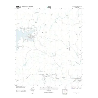
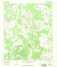 1967 Mormon Mill1970 Print · USGSIn the late sixties, the area south of Burnet balanced its pioneer heritage with modern industrial growth. Genealogists and historians can locate family burial sites like Holland Cem or trace the early industrial footprint at the Mormon Mill (Historical Site).2 unique versions available
 - 1967 Map of Council Creek, 1970 Print
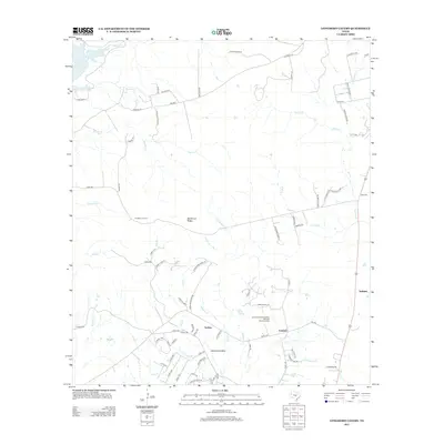
 1967 Council Creek1970 Print · USGSThe eastern shoreline of Lake Buchanan is captured here in the late sixties as recreation and rural life intersected in the Hill Country. Researchers can trace family history at Pebble Mound Cem or explore landmarks like Spider Mountain and Hoovers Valley.2 unique versions available
 - 1985 Map of Llano
 1985 Llano1985 Print · USGSThe Texas Hill Country and Highland Lakes come into focus in the mid-1980s, showcasing the intersection of traditional ranching and modern lakeside growth. Researchers can locate vanished schoolhouses and family burial sites like Valley Spring Sch, Babyhead Cem, and the rural community of Oatmeal.
 - 1992 Map of Llano
 1992 Llano1992 Print · USGSThe Texas Hill Country comes into focus in the early nineties as the Highland Lakes and the granite uplifts of Llano and Burnet define the landscape. Researchers can trace the Southern Pacific line and locate local landmarks from Enchanted Rock to the Llano County Courthouse.2 unique versions available
 - 2010 Map of Burnet, 2010 Print
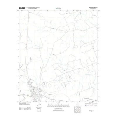
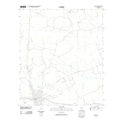 2010 Burnet2010 Print · USGSCovers Burnet, including Bethel, Summit, and other nearby areas
 - 2010 Map of Council Creek, 2010 Print
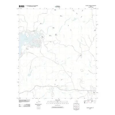 2010 Council Creek2010 Print · USGSCovers Burnet, including Spider Mountain, Burnet County, and other nearby areas
 - 2010 Map of Longhorn Cavern, 2010 Print
 2010 Longhorn Cavern2010 Print · USGSCovers Burnet, including Marble Falls, Demarco, and other nearby areas
 - 2010 Map of Mormon Mill, 2010 Print
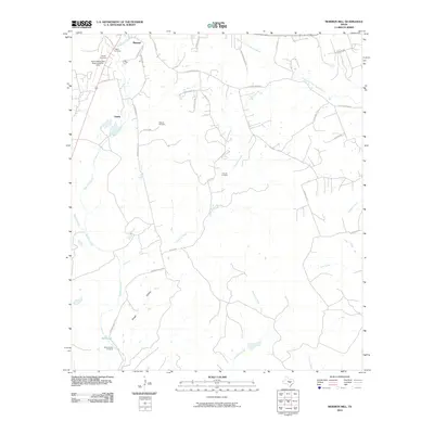 2010 Mormon Mill2010 Print · USGSCovers Burnet, including Holland Springs, Hairston Creek, and other nearby areas
 - 2012 Map of Council Creek, 2012 Print
 2012 Council Creek2012 Print · USGSCovers Burnet, including Spider Mountain, Burnet County, and other nearby areas
 - 2012 Map of Burnet, 2012 Print
 2012 Burnet2012 Print · USGSCovers Burnet, including Bethel, Summit, and other nearby areas
 - 2012 Map of Longhorn Cavern, 2012 Print
 2012 Longhorn Cavern2012 Print · USGSCovers Burnet, including Marble Falls, Demarco, and other nearby areas
 - 2012 Map of Mormon Mill, 2012 Print
 2012 Mormon Mill2012 Print · USGSCovers Burnet, including Holland Springs, Hairston Creek, and other nearby areas
Showing maps 1-25 of 37
Top cities near Burnet
- Marble Falls historical maps
- Horseshoe Bay historical maps
- Granite Shoals historical maps
- Meadowlakes historical maps
- Bertram historical maps
- Cottonwood Shores historical maps
See more
Top neighborhoods of Burnet
Frequently asked questions
- What are the different types of historical maps available for Burnet?
- What is the oldest map of Burnet?
- Where can I purchase historical maps of Burnet for my home or office?
- Where can I download high-res historical maps of Burnet?
- Are there historical topographic maps available for Burnet?
- Is there historical aerial imagery available for Burnet?
- Where are historical maps of Burnet sourced from?