2000s (21st Century) Maps of Indian Lake, Texas
Explore 10 historic maps of Indian Lake from the 2000s (21st Century). These maps offer a rare glimpse into what life looked like during the 2000s — showing old roads, neighborhoods, homes, and landmarks that have changed or disappeared over time.
Whether you're researching your family's past, planning a metal detecting trip, or studying how Indian Lake's landscape evolved across the 2000s, these high-resolution maps are a powerful tool for exploring the history of this region.
- Focus on a specific era: All maps on this page are from the 2000s, giving you a focused view of this time period.
- See what’s changed: Compare century-old streets, trails, and buildings to today's modern landscape using overlays and satellite layers.
- Research with precision: Use these maps for genealogy, historical research, land use analysis, or educational projects.
- View, download, or print: Maps are fully viewable online in high resolution, and can be downloaded or printed for your own records.
Start exploring Indian Lake's history through authentic maps from the 2000s. This is your window into the past.
Indian Lake, TX maps
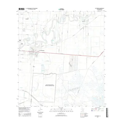
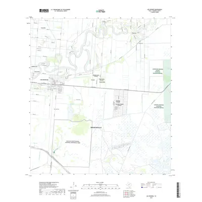
(10)- 2010 Map of Los Fresnos, 2010 Print
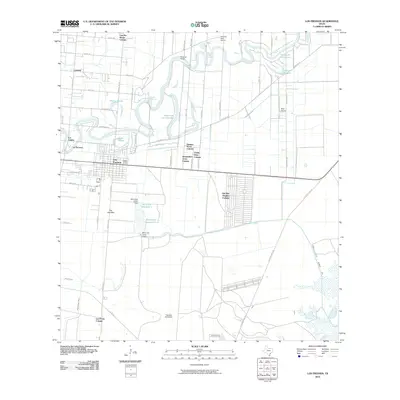 2010 Los Fresnos2010 Print · USGSCovers Indian Lake, including Brownsville, Los Fresnos, and other nearby areas
 - 2010 Map of Olmito, 2010 Print
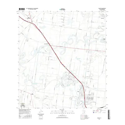
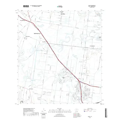
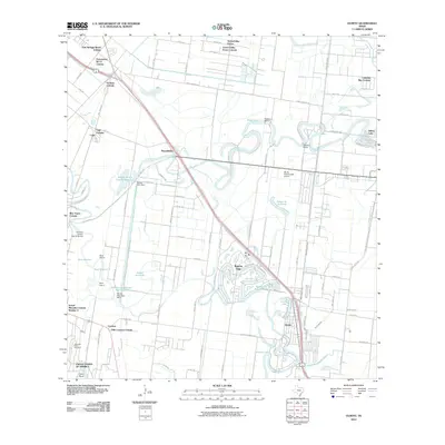 2010 Olmito2010 Print · USGSCovers Indian Lake, including Brownsville, San Benito, and other nearby areas
 - 2013 Map of Los Fresnos, 2013 Print
 2013 Los Fresnos2013 Print · USGSCovers Indian Lake, including Brownsville, Los Fresnos, and other nearby areas
 - 2013 Map of Olmito, 2013 Print
 2013 Olmito2013 Print · USGSCovers Indian Lake, including Brownsville, San Benito, and other nearby areas
 - 2016 Map of Los Fresnos, 2016 Print
 2016 Los Fresnos2016 Print · USGSCovers Indian Lake, including Brownsville, Los Fresnos, and other nearby areas
 - 2016 Map of Olmito, 2016 Print
 2016 Olmito2016 Print · USGSCovers Indian Lake, including Brownsville, San Benito, and other nearby areas
 - 2019 Map of Los Fresnos, 2019 Print
 2019 Los Fresnos2019 Print · USGSCovers Indian Lake, including Brownsville, Los Fresnos, and other nearby areas
 - 2019 Map of Olmito, 2019 Print
 2019 Olmito2019 Print · USGSCovers Indian Lake, including Brownsville, San Benito, and other nearby areas
 - 2022 Map of Los Fresnos, 2022 Print
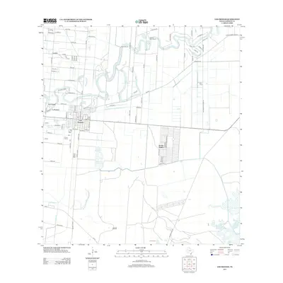
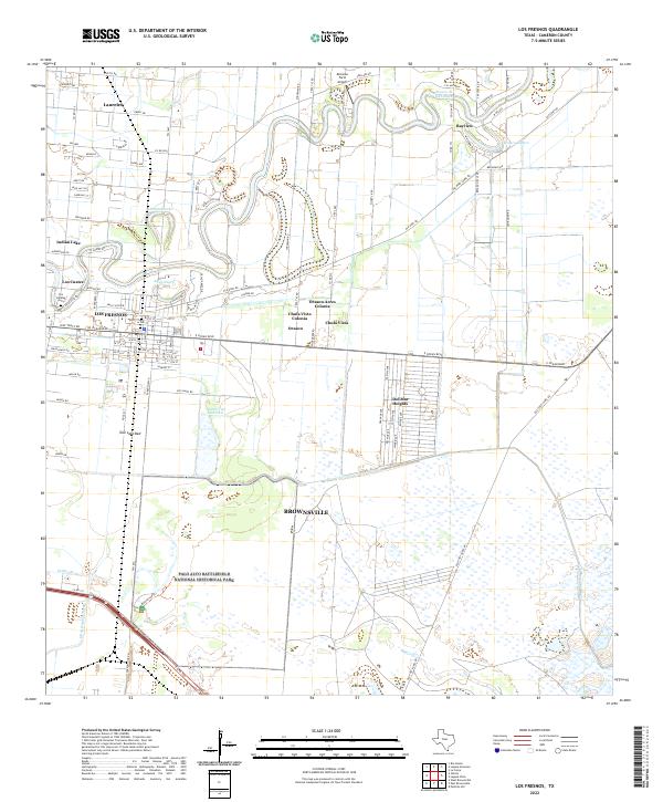 2022 Los Fresnos2022 Print · USGSCameron County comes into focus in this contemporary record of its unique resaca-laced landscape and historic battlegrounds. Genealogists and historians can trace local roots at Los Cuates Cem or explore the hallowed ground of Palo Alto Battlefield.
 - 2022 Map of Olmito, 2022 Print
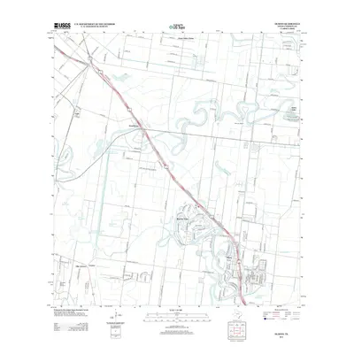
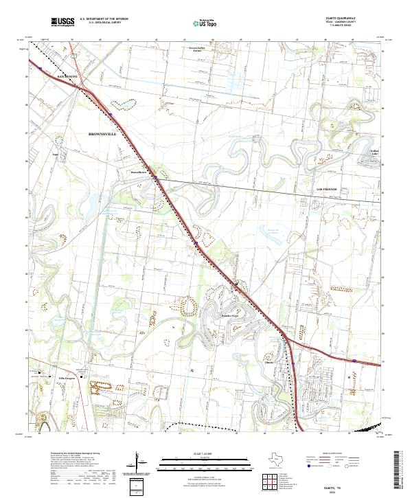 2022 Olmito2022 Print · USGSThe Lower Rio Grande Valley's unique resaca landscape is captured here in the early twenty-first century. Genealogists can trace family sites at San Pedro Cem and Alejandro Garza Memorial Cem or explore the growth of Rancho Viejo.
End of results
Showing maps 1-10 of 10
Top cities near Indian Lake
- Brownsville historical maps
- Harlingen historical maps
- San Benito historical maps
- Cameron Park historical maps
- Los Fresnos historical maps
- Port Isabel historical maps
See more
Frequently asked questions
- What are the different types of historical maps available for Indian Lake?
- What is the oldest map of Indian Lake?
- Where can I purchase historical maps of Indian Lake for my home or office?
- Where can I download high-res historical maps of Indian Lake?
- Are there historical topographic maps available for Indian Lake?
- Is there historical aerial imagery available for Indian Lake?
- Where are historical maps of Indian Lake sourced from?