Old Maps of Indian Lake, Texas for Metal Detecting
Plan your next treasure hunt with 23 historic maps of Indian Lake. Find old homesites, ghost towns, trails, and gathering spots that may be lost to time — perfect for identifying promising metal detecting locations.
- Locate forgotten sites: Uncover places like long-lost settlements, abandoned rail lines, or gathering spots.
- Plan better hunts: Use map overlays combined with LiDAR or satellite views to narrow in on historically rich areas.
- Made for detectorists: Thousands of hobbyists use these maps to discover relics, coins, and hidden history.
Use these historic maps to boost your research and find new opportunities beneath the surface of Indian Lake.
Indian Lake, TX maps
(23)- 1930 Map of Los Fresnos
 1930 Los Fresnos1930 Print · USGSCameron County's agricultural and rail landscape is captured here in the early thirties. Genealogists can trace early homesteads near Los Fresnos or locate landmarks like the Palo Alto Battlefield Monument and White House Sch.
 - 1930 Map of Barreda
 1930 Barreda1930 Print · USGSCoastal South Texas is seen here during the irrigation boom of the early thirties, showing the intricate oxbows and ranch lands. Researchers can trace the St Louis Brownsville and Mexico Railway past Barreda and the Old Military Road.
 - 1936 Map of Los Fresnos
 1936 Los Fresnos1936 Print · USGSThe Lower Rio Grande Valley landscape comes into focus during the 1930s, highlighting a network of irrigation ditches and historical battle sites. Researchers can trace the winding Resaca de los Cuates or locate vanished landmarks like the Palo Alto Battlefield Monument and White House Sch.3 unique versions available
 - 1936 Map of Barreda
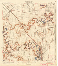 1936 Barreda1936 Print · USGSThe Lower Rio Grande Valley's unique oxbow landscape is captured here in the mid-1930s, showing a network of resacas and early irrigation works. Researchers can trace family-named lands like Soldado Ranch and Naranjas Ranch or locate the old Airways Beacon near Olmito.2 unique versions available
 - 1945 Map of Olmito
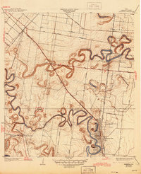 1945 Olmito1945 Print · USGSCameron County in the mid-forties shows a landscape shaped by the winding resacas of the Rio Grande Valley. Genealogists and historians can trace the development of the Missouri Pacific Line and local landmarks like Barreda State Park and Soldado Ranch.
 - 1953 Map of Brownsville
 1953 Brownsville1953 Print · USGSSouth Texas ranchlands and the Lower Rio Grande Valley are captured here in the early fifties as the region's irrigation and shipping networks expanded. Genealogists and historians can trace family landholdings like Tecolote Ranch or follow the route of the St Louis Brownsville and Mexico rail line through Sebastian and Yturria.
 - 1955 Map of Los Fresnos, 1957 Print
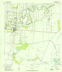 1955 Los Fresnos1957 Print · USGSCoastal Cameron County in the mid-1950s shows a landscape transitioning between its martial history and modern agricultural expansion. Trace the Palo Alto Battlefield and find local landmarks like Wardner Ranch, Charco Honda, and Los Fresnos Sch.3 unique versions available
 - 1956 Map of Olmito, 1957 Print
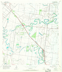 1956 Olmito1957 Print · USGSIn the mid-1950s, the Cameron County landscape was a complex network of ancient resacas and modern irrigation canals. Trace family-named landmarks and settlements along the Missouri Pacific rail line, including Russeltown, Villa Cavazos, and Olmito Lake.5 unique versions available
 - 1956 Map of Los Fresnos, 1959 Print
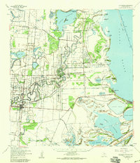 1956 Los Fresnos1959 Print · USGSCoastal Cameron County in the mid-fifties is a landscape of ancient river channels and historic ranchlands stretching toward the Laguna Madre. Researchers can trace the Palo Alto Battlefield, local Soldiers Cem, and ranching outposts like La Tina Ranch.
 - 1956 Map of Brownsville, 1969 Print
 1956 Brownsville1969 Print · USGSThe Texas-Mexico borderlands and the Gulf coast come alive in this mid-century survey of the Rio Grande Valley. Genealogists and historians can trace the reach of the Missouri Pacific rail lines through citrus country to schools like Las Yescas and Palm Grove.2 unique versions available
 - 1956 Map of Port Isabel, 1983 Print
 1956 Port Isabel1983 Print · USGSCoastal Texas and the Rio Grande Valley are shown here in the mid-twentieth century as the region balanced intensive agriculture with maritime trade. Researchers can trace historic rail lines like the SOUTHERN PACIFIC and locate rural landmarks such as Las Yescas Sch or the Armstrong Ranch.
 - 1962 Map of Brownsville
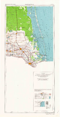 1962 Brownsville1962 Print · USGSThe Lower Rio Grande Valley in the early sixties was a landscape of coastal wildlands, booming oil fields, and international border commerce. Trace the development of this frontier region through landmarks like Harlingen Air Force Base, Boca Chica Island, and the Willamar Oil Field.
 - 1992 Map of Harlingen
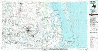 1992 Harlingen1992 Print · USGSSouth Texas in the early nineties shows a landscape defined by industrial growth and coastal conservation along the Rio Grande. Trace the rail lines of the Missouri Pacific through Raymondville or locate the historic Palo Alto Battlefield near Port Isabel.
 - 2010 Map of Los Fresnos, 2010 Print
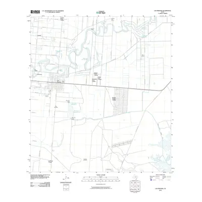 2010 Los Fresnos2010 Print · USGSThe Lower Rio Grande Valley at the start of the decade reveals a complex landscape of ancient resacas and growing colonias. Trace the irrigation network from Resaca de los Cuates to the Palo Alto Battlefield and Del Mar Heights Colonia.
 - 2010 Map of Olmito, 2010 Print
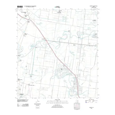 2010 Olmito2010 Print · USGSThe lower Rio Grande Valley at the start of the 2010s reveals a unique landscape of ancient resacas and expanding colonias. Researchers can trace the winding waters of Resaca de Los Cuates Reservoir or locate family sites in Russelltown and Cavazos.
 - 2013 Map of Los Fresnos, 2013 Print
 2013 Los Fresnos2013 Print · USGSThe Lower Rio Grande Valley landscape near Brownsville comes into focus during this early twenty-first-century survey. Researchers can trace the winding Resaca de los Cuates, the historic Palo Alto Battlefield, and local settlements like Los Fresnos.
 - 2013 Map of Olmito, 2013 Print
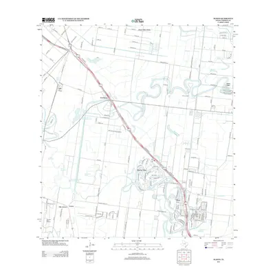 2013 Olmito2013 Print · USGSCameron County in the early twenty-first century reveals a landscape defined by the winding resacas of the Rio Grande delta. Researchers can trace local heritage through communities like Olmito and Rancho Viejo or find old landmarks like Wardner Ranch and Indian Lake.
 - 2016 Map of Los Fresnos, 2016 Print
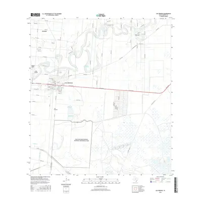 2016 Los Fresnos2016 Print · USGSCameron County in the mid-2010s shows a landscape where historic battlefields and modern agriculture meet. Researchers can trace the layout of Los Fresnos, the winding path of Resaca de los Cuates, and the grounds of Palo Alto Battlefield National Historical Park.
 - 2016 Map of Olmito, 2016 Print
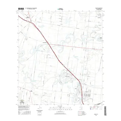 2016 Olmito2016 Print · USGSThe Lower Rio Grande Valley landscape comes into focus here, showing the unique resaca-based settlement patterns of South Texas. Researchers can trace the winding waterways of Resaca del Rancho Viejo and locate communities from Olmito to Villa Cavazos.
 - 2019 Map of Los Fresnos, 2019 Print
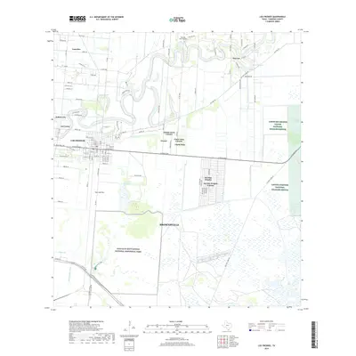 2019 Los Fresnos2019 Print · USGSCameron County comes into sharp focus in the late 2010s, showing the residential expansion of colonias alongside critical wildlife refuges. Researchers can trace the winding Resaca de los Cuates or locate historical sites like Palo Alto Battlefield National Historical Park.
 - 2019 Map of Olmito, 2019 Print
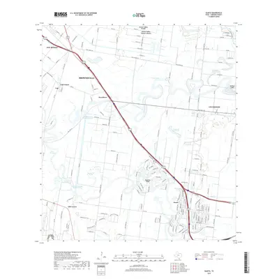 2019 Olmito2019 Print · USGSCameron County's coastal plain and resaca networks are shown in detail during a period of modern expansion. Researchers can trace the layout of growing communities like Rancho Viejo, find old farm-to-market routes, and locate water features like Olmito Lake and Resaca del Jardin.
 - 2022 Map of Los Fresnos, 2022 Print
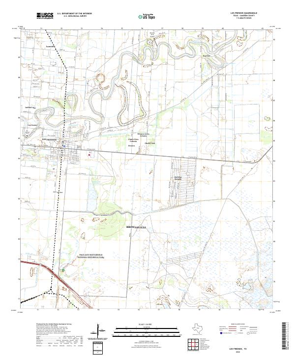 2022 Los Fresnos2022 Print · USGSCameron County comes into focus in this contemporary record of its unique resaca-laced landscape and historic battlegrounds. Genealogists and historians can trace local roots at Los Cuates Cem or explore the hallowed ground of Palo Alto Battlefield.
 - 2022 Map of Olmito, 2022 Print
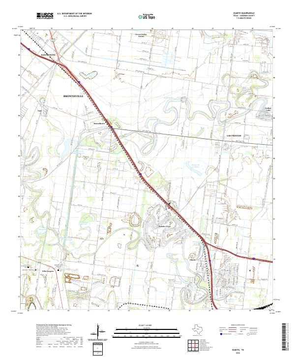 2022 Olmito2022 Print · USGSThe Lower Rio Grande Valley's unique resaca landscape is captured here in the early twenty-first century. Genealogists can trace family sites at San Pedro Cem and Alejandro Garza Memorial Cem or explore the growth of Rancho Viejo.
End of results
Showing maps 1-23 of 23
Top cities near Indian Lake
- Brownsville historical maps
- Harlingen historical maps
- San Benito historical maps
- Cameron Park historical maps
- Los Fresnos historical maps
- Port Isabel historical maps
See more
Frequently asked questions
- What are the different types of historical maps available for Indian Lake?
- What is the oldest map of Indian Lake?
- Where can I purchase historical maps of Indian Lake for my home or office?
- Where can I download high-res historical maps of Indian Lake?
- Are there historical topographic maps available for Indian Lake?
- Is there historical aerial imagery available for Indian Lake?
- Where are historical maps of Indian Lake sourced from?