Old Maps of Pomeroy, Texas for Hiking & Exploration
Hike through history with 9 historic maps of Pomeroy. Explore old trails, ghost towns, and forgotten backroads — perfect for outdoor adventurers and local explorers.
- Rediscover forgotten places: Map out old mining camps, roads, and footpaths that no longer exist on modern maps.
- Layer with modern tools: Combine with LiDAR or satellite views to plan hikes through historical terrain.
- Made for exploration: Popular among hikers, overlanders, and local history lovers.
Use these maps to find adventure and explore the hidden past of Pomeroy.
Pomeroy, TX maps
(9)- 1953 Map of Pomeroy, 1954 Print
 1953 Pomeroy1954 Print · USGSThe Texas Panhandle ranching country of the early 1950s is captured here as the era of radio and expanded rail lines reshaped the plains. Researchers can trace the dual rail corridors of the Chicago Rock Island and Pacific and Panhandle and Santa Fe past Masterson and Rockwell Lake.2 unique versions available
 - 1954 Map of Amarillo, 1966 Print
 1954 Amarillo1966 Print · USGSThe Texas Panhandle in the mid-1960s shows a landscape of rising industrial power and deep-rooted ranching tradition. Local historians can trace the paths of the Panhandle and Santa Fe railroad or locate sites like the Pantex Ordnance Plant and Mobeetie.2 unique versions available
 - 1958 Map of Amarillo
 1958 Amarillo1958 Print · USGSThe Texas Panhandle in the mid-1950s reveals a landscape of expanding military installations and oil-rich rail towns. Local historians can trace the development of Amarillo Air Force Base or locate smaller settlements like Magic City and New Mobeetie.
 - 1986 Map of Amarillo
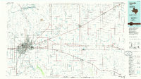 1986 Amarillo1986 Print · USGSAmarillo and the surrounding Texas Panhandle are captured here in the mid-eighties as a hub of energy, agriculture, and transport. Researchers can trace the sprawling Pantex Plant, the rail-side growth of Panhandle, and the deep cuts of Palo Duro Canyon.2 unique versions available
 - 2010 Map of Pomeroy, 2010 Print
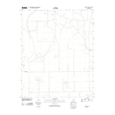 2010 Pomeroy2010 Print · USGSCarson County ranching country and the High Plains landscape are documented here at the turn of the millennium. Local historians can trace the boundaries of the Deal Ranch and Williams Ranch or locate water features like Rockwell Lake and Icehouse Lake.
 - 2012 Map of Pomeroy, 2012 Print
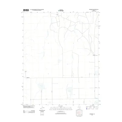 2012 Pomeroy2012 Print · USGSCarson County ranching lands and ephemeral lakes are documented here as they appeared in the early 21st century. Genealogists and land researchers can trace property access and water sources near Pomeroy, Deal Ranch, and the waters of Rockwell Lake.
 - 2016 Map of Pomeroy, 2016 Print
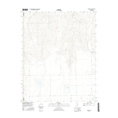 2016 Pomeroy2016 Print · USGSThe Texas Panhandle near the Potter and Carson county line is shown here in the mid-2010s, capturing a landscape of wide-open ranch land and ephemeral creek beds. Researchers can locate the small settlement of Pomeroy and trace the drainage of W Fork Antelope Cr into Rockwell Lake.
 - 2019 Map of Pomeroy, 2019 Print
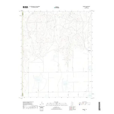 2019 Pomeroy2019 Print · USGSThe Texas Panhandle comes into focus during this 2010s survey of the plains along the Potter and Carson county line. Researchers can trace the hydrology of the High Plains through features like Rockwell Lake, Icehouse Lake, and the winding East Fork Antelope Creek.
 - 2022 Map of Pomeroy, 2022 Print
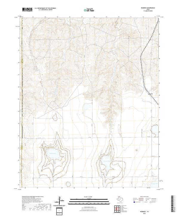 2022 Pomeroy2022 Print · USGSThe high plains of the Texas Panhandle meet the breaks of the Antelope Creek drainage in the early twenty-first century. Researchers can trace the ranching landscape near Pomeroy and locate regional water features like Rockwell Lake and Icehouse Lake.
End of results
Showing maps 1-9 of 9
Top cities near Pomeroy
Frequently asked questions
- What are the different types of historical maps available for Pomeroy?
- What is the oldest map of Pomeroy?
- Where can I purchase historical maps of Pomeroy for my home or office?
- Where can I download high-res historical maps of Pomeroy?
- Are there historical topographic maps available for Pomeroy?
- Is there historical aerial imagery available for Pomeroy?
- Where are historical maps of Pomeroy sourced from?