2020s Maps of Hughes Springs, Texas
Explore 4 historic maps of Hughes Springs from the 2020s. These maps offer a rare glimpse into what life looked like during the 2020s — showing old roads, neighborhoods, homes, and landmarks that have changed or disappeared over time.
Whether you're researching your family's past, planning a metal detecting trip, or studying how Hughes Springs's landscape evolved across the 2020s, these high-resolution maps are a powerful tool for exploring the history of this region.
- Focus on a specific era: All maps on this page are from the 2020s, giving you a focused view of this time period.
- See what’s changed: Compare century-old streets, trails, and buildings to today's modern landscape using overlays and satellite layers.
- Research with precision: Use these maps for genealogy, historical research, land use analysis, or educational projects.
- View, download, or print: Maps are fully viewable online in high resolution, and can be downloaded or printed for your own records.
Start exploring Hughes Springs's history through authentic maps from the 2020s. This is your window into the past.
Hughes Springs, TX maps
(4)- 2022 Map of Sardis, 2022 Print
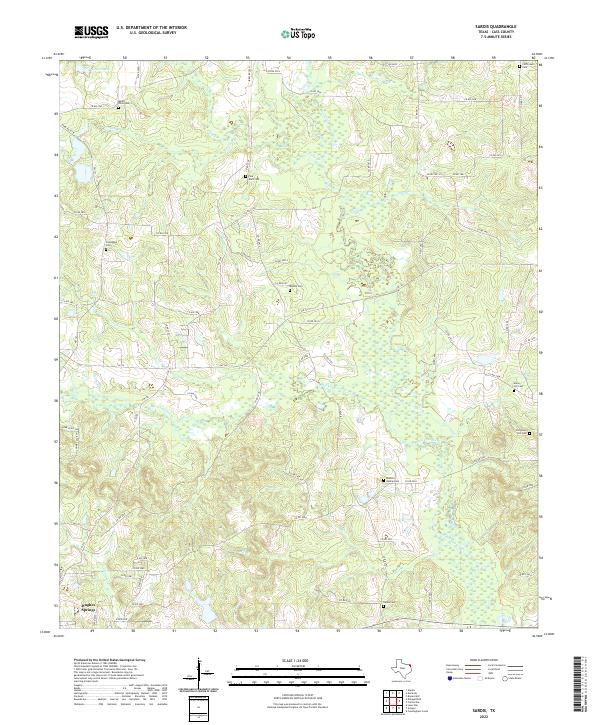 2022 Sardis2022 Print · USGSCass County as it appeared in 2022 remains a landscape of quiet creek bottoms and rural heritage. Genealogists can trace family footprints across numerous sites like Sardis Cem, Old Union Hill Cem, and Mount Olive Cem near the town of Hughes Springs.
 - 2022 Map of Daingerfield, 2022 Print
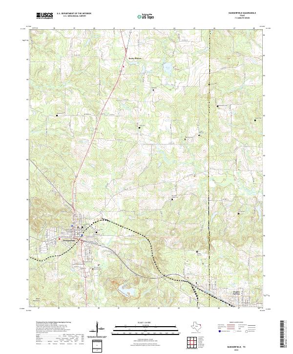 2022 Daingerfield2022 Print · USGSDaingerfield and the surrounding Morris County timberlands are captured here in the early twenty-first century. Researchers can trace local history through the Morris County Courthouse and a dense network of country burial grounds like Veal Switch Cem and Bradfield Chapel Cem.
 - 2022 Map of Avinger, 2022 Print
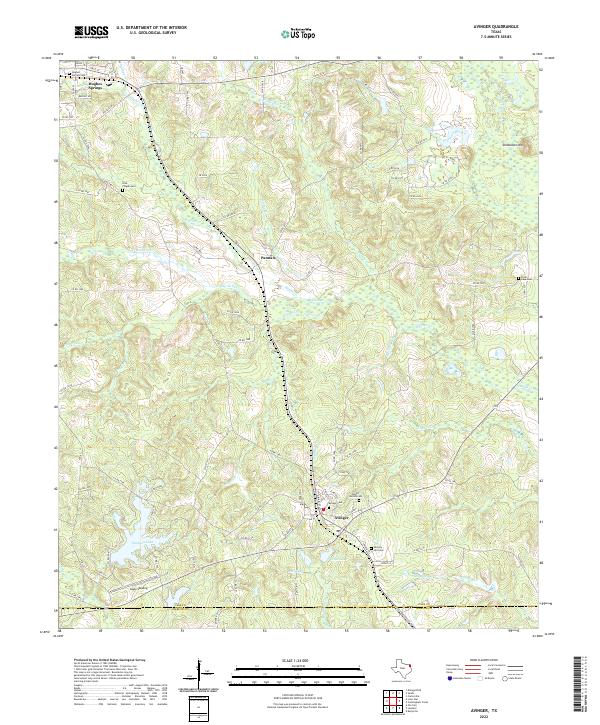 2022 Avinger2022 Print · USGSNortheast Texas timberlands and rail lines define this landscape in the early twenty-first century. Genealogists can locate family sites at Mount Moriah Cem and Love Chapel Cem while tracing the Avinger Cut Off through the heart of Avinger.
 - 2022 Map of Lone Star, 2022 Print
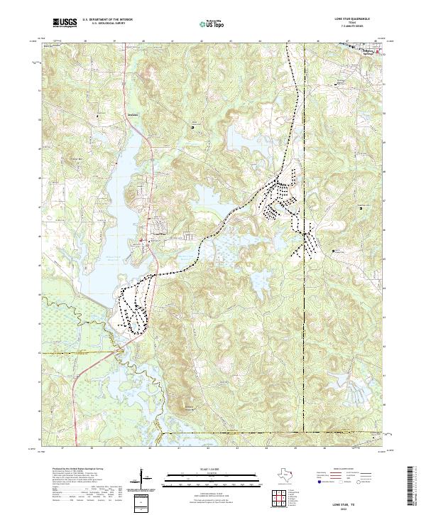 2022 Lone Star2022 Print · USGSLone Star and the surrounding iron-rich hills of Morris County appear here in the early twenty-first century, centered on industrial history and significant water reservoirs. Researchers can locate numerous family and community sites like Cheatham Cemetery, Mount Pilgrim Church Cemetery, and the iron works near Lone Star.
End of results
Showing maps 1-4 of 4
Top cities near Hughes Springs
- Daingerfield historical maps
- Lone Star historical maps
- Naples historical maps
- Ore City historical maps
- Omaha historical maps
- Avinger historical maps
See more
Frequently asked questions
- What are the different types of historical maps available for Hughes Springs?
- What is the oldest map of Hughes Springs?
- Where can I purchase historical maps of Hughes Springs for my home or office?
- Where can I download high-res historical maps of Hughes Springs?
- Are there historical topographic maps available for Hughes Springs?
- Is there historical aerial imagery available for Hughes Springs?
- Where are historical maps of Hughes Springs sourced from?