Old Maps of Red Hill, Texas for Metal Detecting
Plan your next treasure hunt with 11 historic maps of Red Hill. Find old homesites, ghost towns, trails, and gathering spots that may be lost to time — perfect for identifying promising metal detecting locations.
- Locate forgotten sites: Uncover places like long-lost settlements, abandoned rail lines, or gathering spots.
- Plan better hunts: Use map overlays combined with LiDAR or satellite views to narrow in on historically rich areas.
- Made for detectorists: Thousands of hobbyists use these maps to discover relics, coins, and hidden history.
Use these historic maps to boost your research and find new opportunities beneath the surface of Red Hill.
Red Hill, TX maps
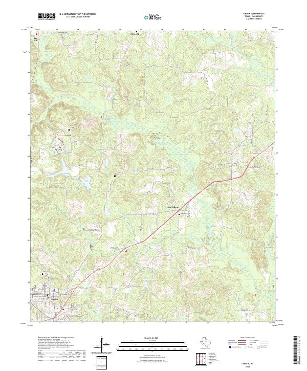
(11)- 1910 Map of Linden
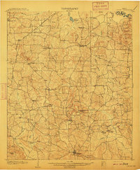 1910 Linden1910 Print · USGSNortheast Texas at the dawn of the century reveals a landscape defined by the timber industry and small rural hubs. You can trace the development of Cass County through landmarks like the T.P. Sawmill, Bryans Mill, and dozens of family-named sites like Harbucks Store.2 unique versions available
 - 1953 Map of Texarkana, 1964 Print
 1953 Texarkana1964 Print · USGSThe Texas-Arkansas borderlands are captured here in the mid-fifties, during a decade of massive military and hydraulic engineering projects. Genealogists and researchers can locate family landmarks like Old Boston Cem, Siloam Ch, and the vast Red River Arsenal.4 unique versions available
 - 1956 Map of Texarkana
 1956 Texarkana1956 Print · USGSThe Ark-La-Tex borderlands come alive in the mid-fifties, showing the transition from a rail-dependent rural economy to a post-war industrial landscape. Researchers can trace the massive Red River Ordnance Depot and find towns like Talco, Bogata, and Naples.
 - 1969 Map of Linden, 1972 Print
 1969 Linden1972 Print · USGSLinden and its surrounding Cass County countryside are captured here in the late sixties, showing a rural landscape transitioning toward modern infrastructure. Local historians can trace old community hubs like New Colony, family burial sites at Echols Cem, and the layout of the Rodeo Ground.2 unique versions available
 - 1986 Map of Texarkana
 1986 Texarkana1986 Print · USGSThe Texas-Arkansas borderlands are captured here in the mid-eighties as a hub of military industry and river-basin geography. Genealogists and local historians can locate rural landmarks like Red Hill Cem, Coopers Chapel, and the Lone Star Army Ammunition Plant.
 - 1992 Map of Texarkana
 1992 Texarkana1992 Print · USGSThe Ark-La-Tex border region comes into focus in the early nineties, centered on the sprawling waters of Wright Patman Lake. Genealogists and historians can trace rail-town development and rural roots through Old Union Cem, the Red River Army Depot, and Dalby Springs Cem.
 - 2010 Map of Linden, 2010 Print
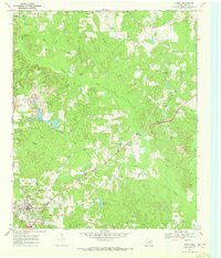
 2010 Linden2010 Print · USGSCovers Red Hill, including Linden, New Colony, and other nearby areas
 - 2012 Map of Linden, 2012 Print
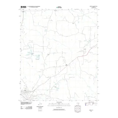
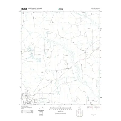 2012 Linden2012 Print · USGSCovers Red Hill, including Linden, New Colony, and other nearby areas
 - 2016 Map of Linden, 2016 Print
 2016 Linden2016 Print · USGSCovers Red Hill, including Linden, New Colony, and other nearby areas
 - 2019 Map of Linden, 2019 Print
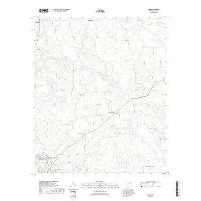 2019 Linden2019 Print · USGSCovers Red Hill, including Linden, New Colony, and other nearby areas
 - 2022 Map of Linden, 2022 Print
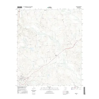
 2022 Linden2022 Print · USGSThe county seat of Linden and its neighboring settlements are documented here during the early 2020s. Researchers can locate several burial grounds including Center Grove Cem and Barnes Cem, or trace the winding paths of Bee Cr and Crooked Br.
End of results
Showing maps 1-11 of 11
Top cities near Red Hill
- Atlanta historical maps
- Linden historical maps
- Queen City historical maps
- Maud historical maps
- Redwater historical maps
- Avinger historical maps
See more
Frequently asked questions
- What are the different types of historical maps available for Red Hill?
- What is the oldest map of Red Hill?
- Where can I purchase historical maps of Red Hill for my home or office?
- Where can I download high-res historical maps of Red Hill?
- Are there historical topographic maps available for Red Hill?
- Is there historical aerial imagery available for Red Hill?
- Where are historical maps of Red Hill sourced from?