Old Maps of Beach City, Texas for Metal Detecting
Plan your next treasure hunt with 32 historic maps of Beach City. Find old homesites, ghost towns, trails, and gathering spots that may be lost to time — perfect for identifying promising metal detecting locations.
- Locate forgotten sites: Uncover places like long-lost settlements, abandoned rail lines, or gathering spots.
- Plan better hunts: Use map overlays combined with LiDAR or satellite views to narrow in on historically rich areas.
- Made for detectorists: Thousands of hobbyists use these maps to discover relics, coins, and hidden history.
Use these historic maps to boost your research and find new opportunities beneath the surface of Beach City.
Beach City, TX maps
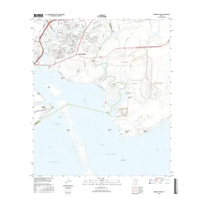
(32)- 1916 Map of Morgan Point
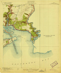
 1916 Morgan Point1916 Print · USGSCoastal Harris and Chambers counties are shown in the years following the opening of the ship channel, when ferries and family landmarks still defined the shoreline. Genealogists and researchers can trace early settlements and navigation aids, from the Goose Creek School and Goose Creek Ferry to the landing at Morgan Point.
 - 1919 Map of Morgan Point
 1919 Morgan Point1919 Print · USGSTexas's coastal industrial frontier comes to life just before the region's massive growth, showing the vital waterways of the bay. Trace the early footprints of Goose Creek, the railroad terminus at Bay Ridge, and the original Goose Creek School.2 unique versions available
 - 1943 Map of West of Eagle
 1943 West of Eagle1943 Print · USGSCoastal Chambers County is captured here in the early 1940s along the western edge of Trinity Bay. Genealogists and local historians can trace family landmarks and early shoreline roads like Cedar Bayou Road and the Fisher Cem.
 - 1943 Map of Morgan Point
 1943 Morgan Point1943 Print · USGSThe coastal communities of Goose Creek, Baytown, and Pelly are shown in detail during the early 1940s as the regional maritime economy expanded. Researchers can trace the dual rail lines of the Southern Pacific and Missouri Pacific or locate local landmarks like the Hill of Rest Cem.
 - 1950 Map of Houston, 1953 Print
 1950 Houston1953 Print · USGSCoastal Texas in the early fifties reveals a landscape of massive civil engineering and industrial transit. Genealogists and researchers can trace the growth of the Houston suburbs and the maritime infrastructure of Galveston Bay, including the Gulf Freeway and the Texas City Dike.
 - 1956 Map of Morgan Point, 1957 Print
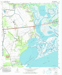
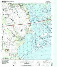
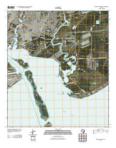
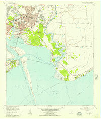 1956 Morgan Point1957 Print · USGSCoastal Chambers and Harris Counties are shown here during a mid-century period of industrial and suburban development. Genealogists and local historians can locate the Morgan Point Cem, trace the Southern Pacific rail lines, and explore the sprawling Goose Creek Oil Field.3 unique versions available
 - 1956 Map of Houston, 1963 Print
 1956 Houston1963 Print · USGSSoutheast Texas in the mid-fifties is captured here as a powerhouse of oil and maritime trade. Genealogists and historians can trace the foundations of Houston and its ports, alongside landmarks like the Rice Institute and the Spindletop Oil Field.2 unique versions available
 - 1961 Map of Umbrella Point, 1964 Print
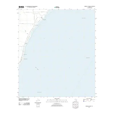
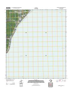
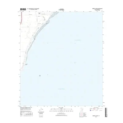
 1961 Umbrella Point1964 Print · USGSCoastal Chambers County in the early sixties reveals a landscape defined by its connection to the sea and the rising petroleum industry. Researchers can find family burial grounds like Barrow Cem and Fisher Cem or trace the development of McCollum County Park and the nearby Tri-City Beach Mission.3 unique versions available
 - 1961 Map of Cove, 1964 Print
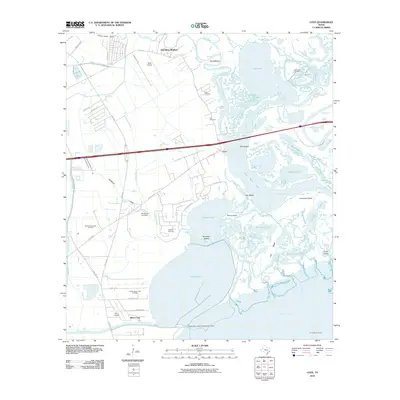
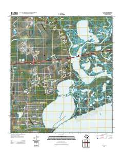
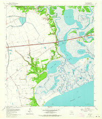 1961 Cove1964 Print · USGSThe Texas coast near the Trinity River delta is captured here in the early sixties as industrial oil fields and a new interstate began to reshape the old marshlands. Genealogists can locate family landmarks such as Montgomery Cem, Icet Cem, and the Winfree Sch.3 unique versions available
 - 1975 Map of Houston, 1977 Print
 1975 Houston1977 Print · USGSThe Texas Gulf Coast in the mid-seventies shows a sprawling Houston metropolis linked to the sea by the massive Houston Ship Channel. Researchers can trace the mid-century industrial landscape from the Astrodome to the Lyndon B. Johnson Space Center.2 unique versions available
 - 1982 Map of Morgans Point
 1982 Morgans Point1982 Print · USGSBaytown and its surrounding coastal communities are shown here at the start of the 1980s, balancing industrial expansion with residential life. Genealogists and historians can trace neighborhood developments around Lee High Sch, the Hill of Rest Cem, and the specialized maritime docks at Barbours Cut.
 - 1983 Map of Anahuac
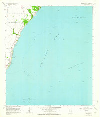
 1983 Anahuac1983 Print · USGSThe Upper Texas Coast and its energy-driven landscape are detailed here in the early eighties. Genealogists and historians can trace coastal settlements like Anahuac and Winnie alongside the storied Spindletop Oil Field and the Anahuac National Wildlife Refuge.2 unique versions available
 - 1993 Map of Cove
 1993 Cove1993 Print · USGSThe coastal wetlands and bayous of Chambers County are captured in the early nineties as industry and nature meet near the bay. Trace local heritage and infrastructure through landmarks like the Winfree Cemetery, Barbers Hill Schools, and the Trinity Bay Oil Field.
 - 1993 Map of Morgans Point, 1994 Print
 1993 Morgans Point1994 Print · USGSThe industrial Texas coast around Baytown and Morgans Point comes alive in the early nineties. Researchers can trace neighborhood development near Lee College, find the Hill of Rest Cem, and study the extensive oil wells and ship channels that shaped the regional economy.
 - 1994 Map of Umbrella Point
 1994 Umbrella Point1994 Print · USGSThe Texas coastline near Baytown comes alive in the 1990s as the energy industry and local history intersect along Trinity Bay. Genealogists and researchers can locate family sites like Barrow Cem and Fisher Cem or trace the Trinity Bay Oil Field.
 - 1995 Map of Morgans Point, 1999 Print
 1995 Morgans Point1999 Print · USGSBaytown and the surrounding coastal reaches of Galveston Bay are shown here during the mid-nineties as the region’s industrial and civic footprint matured. Researchers can trace neighborhood development near Lee College or locate landmarks like Morgans Point and Hill of Rest Cem.
 - 1995 Map of Cove, 2000 Print
 1995 Cove2000 Print · USGSThe Trinity River delta and Chambers County coast are captured here in the mid-nineties, showing a landscape of oil fields and winding bayous. Genealogists can trace family sites at Winfree Cemetery and St Emily Ch or locate the old Lost Cem.
 - 2010 Map of Cove, 2010 Print
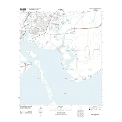
 2010 Cove2010 Print · USGSCovers Beach City, including Baytown, Mont Belvieu, and other nearby areas
 - 2010 Map of Umbrella Point, 2010 Print
 2010 Umbrella Point2010 Print · USGSCovers Beach City, including Baytown, Chambers County, and other nearby areas
 - 2010 Map of Morgans Point, 2010 Print
 2010 Morgans Point2010 Print · USGSCovers Beach City, including Baytown, La Porte, and other nearby areas
 - 2013 Map of Umbrella Point, 2013 Print
 2013 Umbrella Point2013 Print · USGSCovers Beach City, including Baytown, Chambers County, and other nearby areas
 - 2013 Map of Morgans Point, 2013 Print
 2013 Morgans Point2013 Print · USGSCovers Beach City, including Baytown, La Porte, and other nearby areas
 - 2013 Map of Cove, 2013 Print
 2013 Cove2013 Print · USGSCovers Beach City, including Baytown, Mont Belvieu, and other nearby areas
 - 2016 Map of Umbrella Point, 2016 Print
 2016 Umbrella Point2016 Print · USGSCovers Beach City, including Baytown, Chambers County, and other nearby areas
 - 2016 Map of Morgans Point, 2016 Print
 2016 Morgans Point2016 Print · USGSCovers Beach City, including Baytown, La Porte, and other nearby areas
Showing maps 1-25 of 32
Top cities near Beach City
- Houston historical maps
- Pasadena historical maps
- League City historical maps
- Baytown historical maps
- Texas City historical maps
- La Porte historical maps
See more
Frequently asked questions
- What are the different types of historical maps available for Beach City?
- What is the oldest map of Beach City?
- Where can I purchase historical maps of Beach City for my home or office?
- Where can I download high-res historical maps of Beach City?
- Are there historical topographic maps available for Beach City?
- Is there historical aerial imagery available for Beach City?
- Where are historical maps of Beach City sourced from?