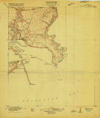
1916 Map of Morgan Point
USGS Topo · Published 1916About this map
The waters of San Jacinto Bay and Galveston Bay meet at the mouth of the Houston Ship Channel in this 1916 survey, recorded just as the regional oil industry was beginning to reshape the coastal prairie. Small settlements and individual property holdings like Evergreen Point and the residence of Dr Smith dot the shoreline, while the Goose Creek Ferry provides a vital link across the water at the junction of Goose Creek and the bay.
Find a feature on this map
32 named features on this map. Tap any name to fly to it.
Don’t see what you’re looking for? This feature index may not catch every label — zoom into the map to look around manually.
Map Details
Editions of this 1916 Morgan Point Map
This is the sole edition of this map. No revisions or reprints were ever made.
Other maps of this area
1916 · Burnett Bay
USGS Topo · 1:24,000
1916 · Seabrook
USGS Topo · 1:24,000
1916 · Cedar Bayou
USGS Topo · 1:24,000
1916 · La Porte
USGS Topo · 1:24,000
1919 · Morgan Point
USGS Topo · 1:31,680
1919 · Cedar Bayou
USGS Topo · 1:31,680
1920 · Seabrook
USGS Topo · 1:31,680
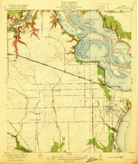
1920 · La Porte
USGS Topo · 1:31,680
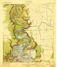
1920 · Highlands
USGS Topo · 1:31,680
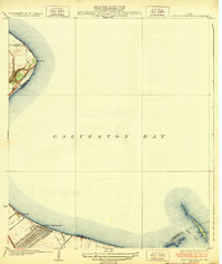
1932 · Clifton By The Sea
USGS Topo · 1:31,680