Old Maps of Novice, Texas for Academic Research
Study the evolution of Novice with 15 high-resolution historic maps. Whether you're teaching, researching, or modeling changes in land use, these maps provide essential visual documentation of urban, environmental, and geographic change.
- Analyze long-term change: Track patterns in development, transportation, and natural features.
- Ideal for environmental or urban studies: Support academic projects with primary historical map data.
- Use in the classroom or lab: Educators and researchers rely on these maps to bring historical context to life.
These maps are a powerful tool for teaching, research, and visualizing how Novice has changed over the decades.
Novice, TX maps
(15)- 1892 Map of Ballinger
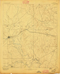 1892 Ballinger1892 Print · USGSCentral West Texas was a landscape of budding rail towns and winding river valleys in the early 1890s. Genealogists can trace the early footprints of Ballinger and Paintrock or locate smaller vanished points like Norwood and Trap Crossing.5 unique versions available
 - 1954 Map of Brownwood, 1955 Print
 1954 Brownwood1955 Print · USGSCentral Texas in the early fifties shows a landscape of rail-linked cattle towns and winding river valleys before modern highway expansion. Genealogists and historians can trace family-named peaks and vanished rail stops like Trickham, Santa Anna, and the Brady Mountains.3 unique versions available
 - 1967 Map of Novice West, 1969 Print
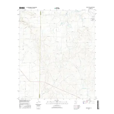
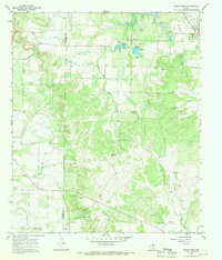 1967 Novice West1969 Print · USGSThe West Texas ranchlands and oil fields of Coleman and Runnels Counties are captured here in the late sixties. Genealogists can trace family names and local landmarks through sites like Atoka Cem, Crews Cem, and the railroad town of Novice.2 unique versions available
 - 1967 Map of Novice East, 1969 Print
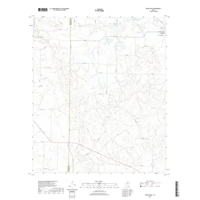
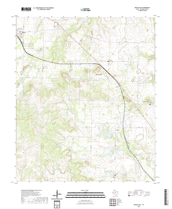
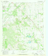 1967 Novice East1969 Print · USGSColeman County ranching and oil production are in full view during the late sixties. Genealogists and historians can trace the Atchison Topeka and Santa Fe line past Novice, Silver Valley Cem, and the prominent Robinson Peak.2 unique versions available
 - 1985 Map of Coleman
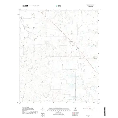
 1985 Coleman1985 Print · USGSCentral Texas ranching and rail country comes to life in the 1980s as the Atchison Topeka and Santa Fe line cuts through Coleman. Researchers can trace old settlements and topography from Robinson Peak to the waters of Lake Brownwood State Park.2 unique versions available
 - 2010 Map of Novice West, 2010 Print
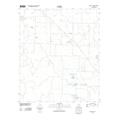
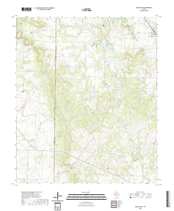
 2010 Novice West2010 Print · USGSCovers Novice, including Coleman County, Runnels County, and other nearby areas
 - 2010 Map of Novice East, 2010 Print
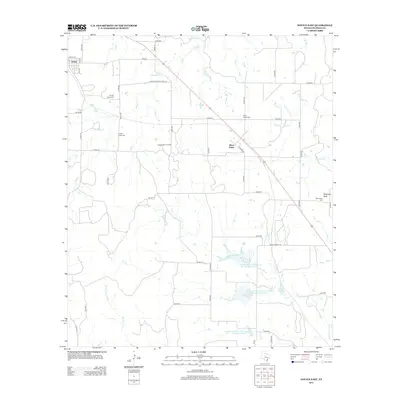
 2010 Novice East2010 Print · USGSCovers Novice, including Silver Valley, Coleman County, and other nearby areas
 - 2013 Map of Novice East, 2013 Print
 2013 Novice East2013 Print · USGSCovers Novice, including Silver Valley, Coleman County, and other nearby areas
 - 2013 Map of Novice West, 2013 Print
 2013 Novice West2013 Print · USGSCovers Novice, including Coleman County, Runnels County, and other nearby areas
 - 2016 Map of Novice East, 2016 Print
 2016 Novice East2016 Print · USGSCovers Novice, including Silver Valley, Coleman County, and other nearby areas
 - 2016 Map of Novice West, 2016 Print
 2016 Novice West2016 Print · USGSCovers Novice, including Coleman County, Runnels County, and other nearby areas
 - 2019 Map of Novice West, 2019 Print
 2019 Novice West2019 Print · USGSCovers Novice, including Coleman County, Runnels County, and other nearby areas
 - 2019 Map of Novice East, 2019 Print
 2019 Novice East2019 Print · USGSCovers Novice, including Silver Valley, Coleman County, and other nearby areas
 - 2022 Map of Novice West, 2022 Print
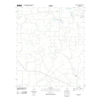
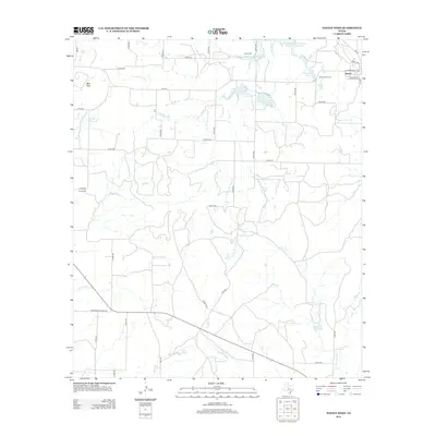
 2022 Novice West2022 Print · USGSSpanning the boundary of Runnels and Coleman counties in the 2020s, this area shows a landscape of cattle ranches and water management. Genealogists can locate Atoka Cem and Crews Cem, or trace landmarks like Blue Gap and Novice City Lake.
 - 2022 Map of Novice East, 2022 Print
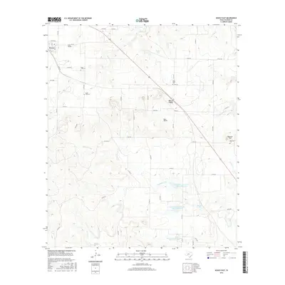
 2022 Novice East2022 Print · USGSColeman County ranch land is captured in this recent survey, showcasing the area's rural character and vital water management sites. Researchers can find numerous family and community landmarks, including Silver Valley Cem, Robinson Peak, and Santa Fe Lake.
End of results
Showing maps 1-15 of 15
Top cities near Novice
Frequently asked questions
- What are the different types of historical maps available for Novice?
- What is the oldest map of Novice?
- Where can I purchase historical maps of Novice for my home or office?
- Where can I download high-res historical maps of Novice?
- Are there historical topographic maps available for Novice?
- Is there historical aerial imagery available for Novice?
- Where are historical maps of Novice sourced from?