Old Maps of Voss, Texas for Metal Detecting
Plan your next treasure hunt with 10 historic maps of Voss. Find old homesites, ghost towns, trails, and gathering spots that may be lost to time — perfect for identifying promising metal detecting locations.
- Locate forgotten sites: Uncover places like long-lost settlements, abandoned rail lines, or gathering spots.
- Plan better hunts: Use map overlays combined with LiDAR or satellite views to narrow in on historically rich areas.
- Made for detectorists: Thousands of hobbyists use these maps to discover relics, coins, and hidden history.
Use these historic maps to boost your research and find new opportunities beneath the surface of Voss.
Voss, TX maps
(10)- 1892 Map of Ballinger
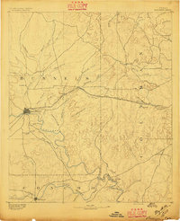 1892 Ballinger1892 Print · USGSCentral West Texas was a landscape of budding rail towns and winding river valleys in the early 1890s. Genealogists can trace the early footprints of Ballinger and Paintrock or locate smaller vanished points like Norwood and Trap Crossing.5 unique versions available
 - 1932 Map of Voss
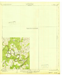 1932 Voss1932 Print · USGSCentral Texas river life in the mid-1920s is documented here along the winding banks of the Concho River. Genealogists and local historians can trace the community of Leaday and several rural schoolhouses like Liberty Sch and Redwire Sch.2 unique versions available
 - 1954 Map of Brownwood, 1955 Print
 1954 Brownwood1955 Print · USGSCentral Texas in the early fifties shows a landscape of rail-linked cattle towns and winding river valleys before modern highway expansion. Genealogists and historians can trace family-named peaks and vanished rail stops like Trickham, Santa Anna, and the Brady Mountains.3 unique versions available
 - 1967 Map of Voss, 1969 Print
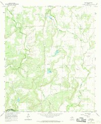 1967 Voss1969 Print · USGSNear the Coleman and Concho county line in the late sixties, this survey shows a landscape of West Texas ranching and riverside terrain. Researchers can locate the settlement of Voss, the Hill Cem, and the dramatic loop of the Colorado R at Horseshoe Bend.2 unique versions available
 - 1985 Map of Coleman
 1985 Coleman1985 Print · USGSCentral Texas ranching and rail country comes to life in the 1980s as the Atchison Topeka and Santa Fe line cuts through Coleman. Researchers can trace old settlements and topography from Robinson Peak to the waters of Lake Brownwood State Park.2 unique versions available
 - 2010 Map of Voss, 2010 Print
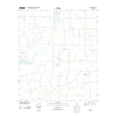
 2010 Voss2010 Print · USGSCovers Voss, including Coleman County, Concho County, and other nearby areas
 - 2013 Map of Voss, 2013 Print
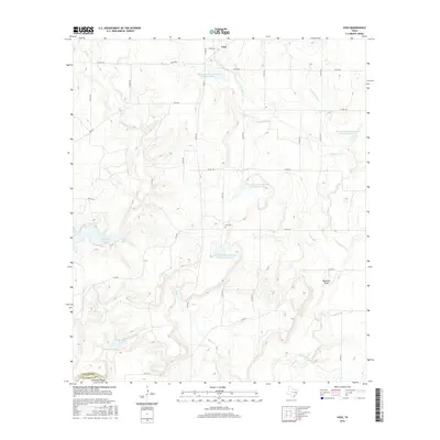
 2013 Voss2013 Print · USGSCovers Voss, including Coleman County, Concho County, and other nearby areas
 - 2016 Map of Voss, 2016 Print
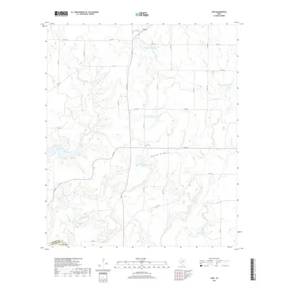
 2016 Voss2016 Print · USGSCovers Voss, including Coleman County, Concho County, and other nearby areas
 - 2019 Map of Voss, 2019 Print
 2019 Voss2019 Print · USGSCovers Voss, including Coleman County, Concho County, and other nearby areas
 - 2022 Map of Voss, 2022 Print
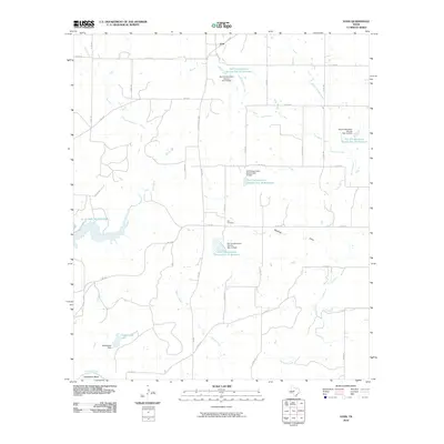
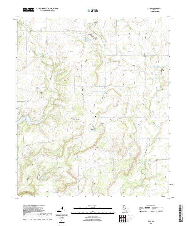 2022 Voss2022 Print · USGSThe area surrounding Voss comes into focus in this recent survey of the Coleman County cattle country. Researchers can trace family landmarks like Hill Cem and examine the extensive watershed management of Featherston Lake and Panther Cr.
End of results
Showing maps 1-10 of 10
Top cities near Voss
Frequently asked questions
- What are the different types of historical maps available for Voss?
- What is the oldest map of Voss?
- Where can I purchase historical maps of Voss for my home or office?
- Where can I download high-res historical maps of Voss?
- Are there historical topographic maps available for Voss?
- Is there historical aerial imagery available for Voss?
- Where are historical maps of Voss sourced from?