
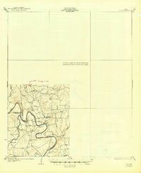
1932 Map of Voss
USGS Topo · Published 1932About this map
The Concho River winds through the southwestern corner of this survey, serving as a vital natural boundary between Runnels, Concho, and Coleman counties. This 1925 topography, published by the State of Texas Board of Water Engineers, captures a landscape of rural schoolhouses and river crossings before the mid-century creation of O.H. Ivie Reservoir. Small educational centers like Grape Creek Sch, Liberty Sch, and Redwire Sch are scattered across the terrain, indicating the distributed nature of this ranching and farming community. The map details several historic river access points including Coffee Ford, Winkler Ford, and Trap Crossing, alongside the settlement of Leaday. These features reveal how residents navigated the water system and rugged elevation changes at Brushy Bluff during the early 20th century.
Find a feature on this map
16 named features on this map. Tap any name to fly to it.
Don’t see what you’re looking for? This feature index may not catch every label — zoom into the map to look around manually.
Map Details
Editions of this 1932 Voss Map
2 editions found
Other maps of this area

1887 · Coleman
USGS Topo · 1:125,000

1889 · Coleman
USGS Topo · 1:125,000

1892 · Eden
USGS Topo · 1:125,000

1892 · Ballinger
USGS Topo · 1:125,000

1894 · Brady
USGS Topo · 1:125,000

1896 · Eden
USGS Topo · 1:125,000

1924 · Eden 1-a
USGS Topo · 1:48,000

1925 · Brady 2-b
USGS Topo · 1:48,000

1925 · Ballinger 3-d
USGS Topo · 1:48,000

1925 · Ballinger 4-c
USGS Topo · 1:48,000