Old Maps of Deep Water Point Estates, Texas for Academic Research
Study the evolution of Deep Water Point Estates with 11 high-resolution historic maps. Whether you're teaching, researching, or modeling changes in land use, these maps provide essential visual documentation of urban, environmental, and geographic change.
- Analyze long-term change: Track patterns in development, transportation, and natural features.
- Ideal for environmental or urban studies: Support academic projects with primary historical map data.
- Use in the classroom or lab: Educators and researchers rely on these maps to bring historical context to life.
These maps are a powerful tool for teaching, research, and visualizing how Deep Water Point Estates has changed over the decades.
Deep Water Point Estates, TX maps
(11)- 1924 Map of Farmersville 3-c
 1924 Farmersville 3-c1924 Print · USGSIn the 1920s, southeastern Collin County was a network of railroad towns and rural school districts. Genealogists can trace family roots through landmarks like Shiloh Church, Cotton Belt School, and the settlement of Nevada.
 - 1930 Map of Farmersville
 1930 Farmersville1930 Print · USGSSoutheastern Collin County in the early twentieth century shows a landscape of rail-connected towns and rural school districts. Genealogists can locate family landmarks like Stringtown, Cairo Sch, and BUMPASS BRIDGE along the East Fork Trinity River.2 unique versions available
 - 1954 Map of Sherman, 1964 Print
 1954 Sherman1964 Print · USGSThe Red River valley and North Texas plains are captured here in the mid-fifties, showing the region as new reservoirs like Lake Texoma and Lavon Reservoir reshaped the land. Genealogists can trace family roots through specific local landmarks like Courtney P O, Pilot Grove Sch, and New Hope Ch.2 unique versions available
 - 1958 Map of Sherman, 1959 Print
 1958 Sherman1959 Print · USGSNorth Texas and Southern Oklahoma were undergoing significant development in the late fifties as the Red River Valley transit networks matured. Researchers can trace historic family-named locations such as Saddler Bend, the grounds of Perrin AFB, and early shoreline developments at Lake Texoma.
 - 1963 Map of Lavon, 1964 Print
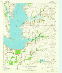 1963 Lavon1964 Print · USGSCollin County enters a new era of development in the 1960s as the rising waters of Lavon Reservoir create new shorelines. Genealogists and local historians can trace early settlements and family plots like Copeville, Nevada, and the IOOF Cem.3 unique versions available
 - 1985 Map of McKinney
 1985 McKinney1985 Print · USGSNorth Texas in the mid-1980s was a landscape of rural communities connected by a complex web of railroads and creek systems. Researchers can trace family roots through settlements like Westminster, find local landmarks like Henslee Chapel, or map the industrial activity at various Gravel Pits.2 unique versions available
 - 2010 Map of Lavon, 2010 Print
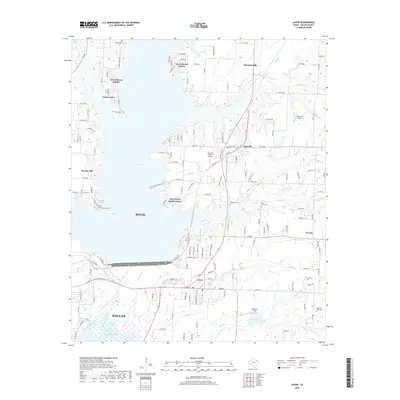
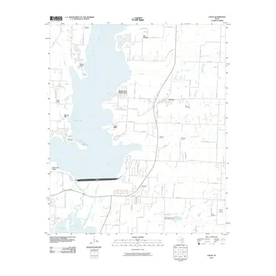 2010 Lavon2010 Print · USGSCovers Deep Water Point Estates, including Dallas, Wylie, and other nearby areas
 - 2013 Map of Lavon, 2013 Print
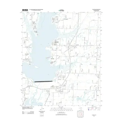 2013 Lavon2013 Print · USGSCovers Deep Water Point Estates, including Dallas, Wylie, and other nearby areas
 - 2016 Map of Lavon, 2016 Print
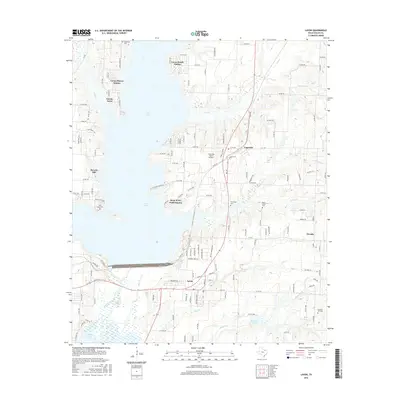 2016 Lavon2016 Print · USGSCovers Deep Water Point Estates, including Dallas, Wylie, and other nearby areas
 - 2019 Map of Lavon, 2019 Print
 2019 Lavon2019 Print · USGSCovers Deep Water Point Estates, including Dallas, Wylie, and other nearby areas
 - 2022 Map of Lavon, 2022 Print
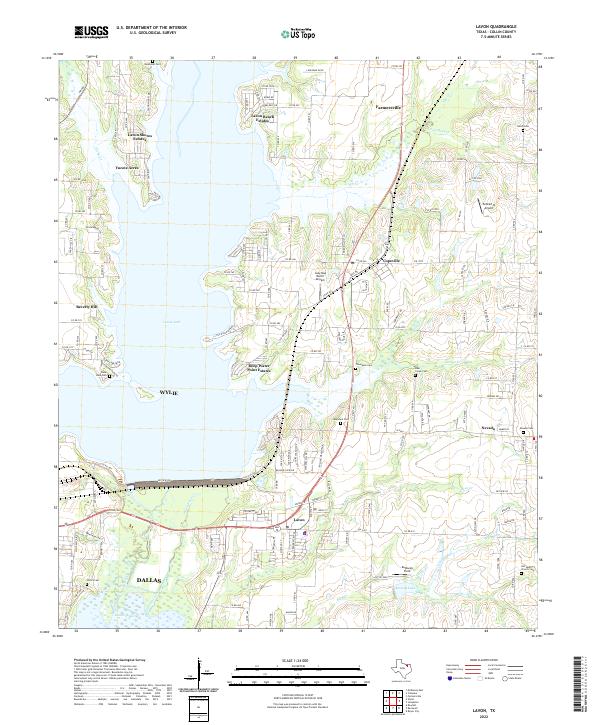 2022 Lavon2022 Print · USGSCollin County's transition from rural farming roots to a lakeside residential hub is visible in this contemporary look at the Lavon area. Genealogists can locate several local burial grounds like Backbone Cem and Nevada Cem near the shores of Lavon Lake.
End of results
Showing maps 1-11 of 11
Top cities near Deep Water Point Estates
- Dallas historical maps
- Plano historical maps
- Garland historical maps
- McKinney historical maps
- Mesquite historical maps
- Richardson historical maps
See more
Frequently asked questions
- What are the different types of historical maps available for Deep Water Point Estates?
- What is the oldest map of Deep Water Point Estates?
- Where can I purchase historical maps of Deep Water Point Estates for my home or office?
- Where can I download high-res historical maps of Deep Water Point Estates?
- Are there historical topographic maps available for Deep Water Point Estates?
- Is there historical aerial imagery available for Deep Water Point Estates?
- Where are historical maps of Deep Water Point Estates sourced from?