Old Maps of Vox Populi, Texas for Genealogy
Trace your family roots with 10 historic maps of Vox Populi. These high-res maps reveal old neighborhoods, homesites, landmarks, and streets — helping you uncover where your ancestors lived and how the area evolved over time.
- Explore historic neighborhoods: Identify where your relatives may have lived in the 1800s or 1900s.
- Compare maps over time: Trace the changes in streets, buildings, and landmarks for multi-generational research.
- Perfect for genealogy & ancestry research: Used by family historians and researchers to map out lineage and migration.
These maps are an incredible resource for exploring your personal connection to Vox Populi's past.
Vox Populi, TX maps
(10)- 1953 Map of Seguin, 1965 Print
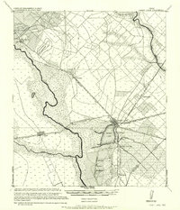
 1953 Seguin1965 Print · USGSSouth Texas in the early fifties shows a thriving river-and-rail economy across the Guadalupe and Colorado basins. Genealogists and historians can trace rail routes like the Southern Pacific through Seguin, locate oil wells, or find the Gary AAF near San Marcos.4 unique versions available
 - 1957 Map of Eagle Lake
 1957 Eagle Lake1957 Print · USGSTexas coastal prairie life in the early twentieth century is defined here by the convergence of major rail lines and the namesake Eagle Lake. Genealogists and historians can trace the development of localized junctions and settlements like Alleyton, Altair, and Rice Land.
 - 1957 Map of Altair, 1958 Print
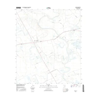
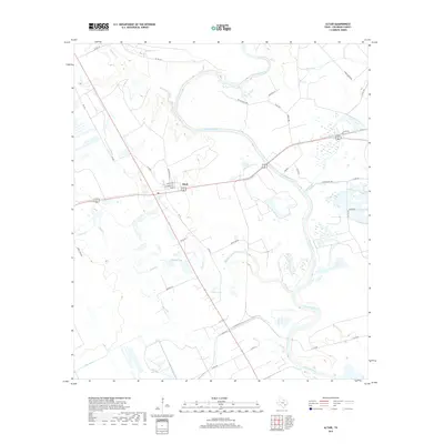
 1957 Altair1958 Print · USGSMid-century Colorado County is defined here by the winding river and the growth of the local oil industry. Researchers can trace the path of the Old Spanish Trail and locate community sites like the Washington Carver Sch or Gaines Crossing.2 unique versions available
 - 1958 Map of Seguin
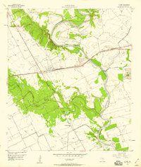
 1958 Seguin1958 Print · USGSSouth Texas in the late fifties was a network of river-valley settlements and active oilfields tied together by major rail lines. Genealogists and historians can trace family-named sites across Rabb Prairie, locate the Behring Store, or follow the Southern Pacific through Schulenburg.
 - 1985 Map of Eagle Lake
 1985 Eagle Lake1985 Print · USGSSoutheast Texas in the mid-eighties shows a landscape defined by the Colorado River and a booming energy sector. Genealogists and historians can trace rail-tied towns like La Grange and Fayetteville or locate the Frelsburg Oil Field and Stephen F Austin State Park.2 unique versions available
 - 2010 Map of Altair, 2010 Print
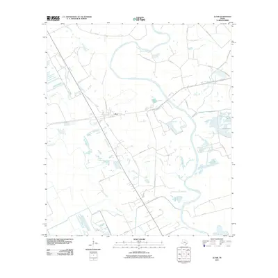 2010 Altair2010 Print · USGSCovers Vox Populi, including Altair, Colorado County, and other nearby areas
 - 2013 Map of Altair, 2013 Print
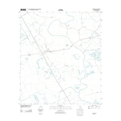 2013 Altair2013 Print · USGSCovers Vox Populi, including Altair, Colorado County, and other nearby areas
 - 2016 Map of Altair, 2016 Print
 2016 Altair2016 Print · USGSCovers Vox Populi, including Altair, Colorado County, and other nearby areas
 - 2019 Map of Altair, 2019 Print
 2019 Altair2019 Print · USGSCovers Vox Populi, including Altair, Colorado County, and other nearby areas
 - 2022 Map of Altair, 2022 Print
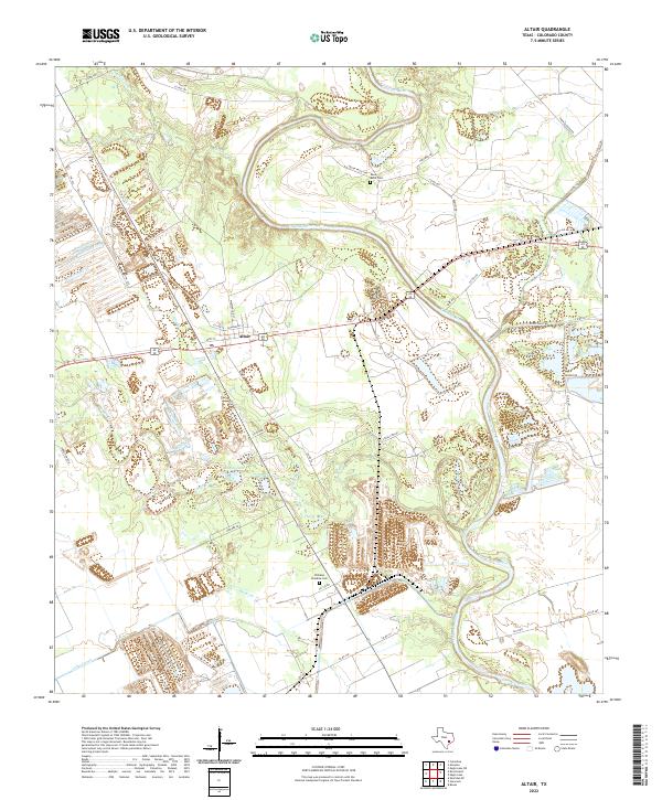 2022 Altair2022 Print · USGSIn the early twenty-first century, this area of Colorado County is defined by the winding Colorado River and the rural hub of Altair. Genealogists and local historians can trace family landmarks like Williams Paradise Cem and Reels Bend Cem among the wetlands of Muddy Lake.
End of results
Showing maps 1-10 of 10
Top cities near Vox Populi
Frequently asked questions
- What are the different types of historical maps available for Vox Populi?
- What is the oldest map of Vox Populi?
- Where can I purchase historical maps of Vox Populi for my home or office?
- Where can I download high-res historical maps of Vox Populi?
- Are there historical topographic maps available for Vox Populi?
- Is there historical aerial imagery available for Vox Populi?
- Where are historical maps of Vox Populi sourced from?