2020s Maps of Comanche County, Texas
Explore 27 historic maps of Comanche County from the 2020s. These maps offer a rare glimpse into what life looked like during the 2020s — showing old roads, neighborhoods, homes, and landmarks that have changed or disappeared over time.
Whether you're researching your family's past, planning a metal detecting trip, or studying how Comanche County's landscape evolved across the 2020s, these high-resolution maps are a powerful tool for exploring the history of this region.
- Focus on a specific era: All maps on this page are from the 2020s, giving you a focused view of this time period.
- See what’s changed: Compare century-old streets, trails, and buildings to today's modern landscape using overlays and satellite layers.
- Research with precision: Use these maps for genealogy, historical research, land use analysis, or educational projects.
- View, download, or print: Maps are fully viewable online in high resolution, and can be downloaded or printed for your own records.
Start exploring Comanche County's history through authentic maps from the 2020s. This is your window into the past.
Comanche County, TX maps
(27)- 2022 Map of Hunting Shirt Creek, 2022 Print
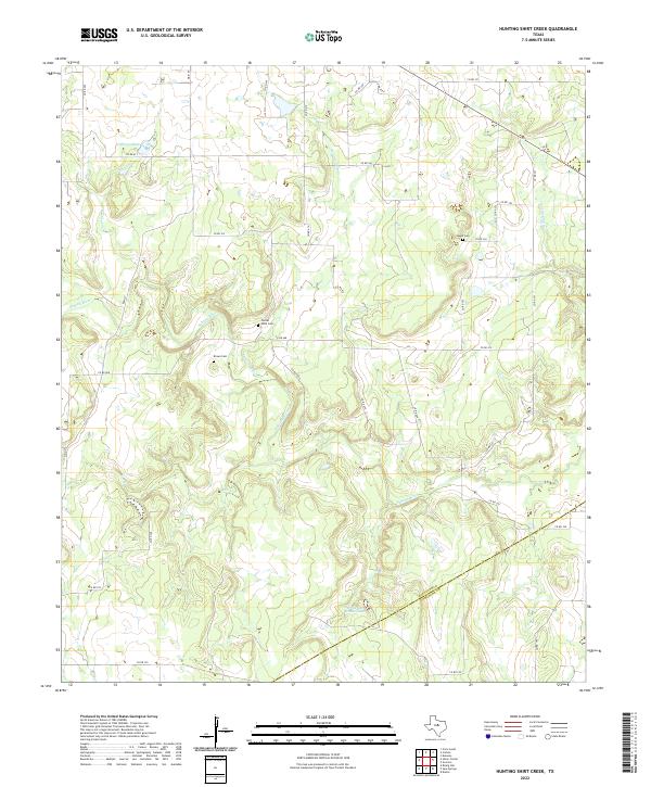 2022 Hunting Shirt Creek2022 Print · USGSThe West Texas ranchlands of Eastland and Comanche counties appear in this recent survey, centered on the serpentine paths of the Sabana River. Researchers can locate several family and community landmarks, including Center Point Cem, Brown Cem, and Jewell Cem.
 - 2022 Map of Comyn, 2022 Print
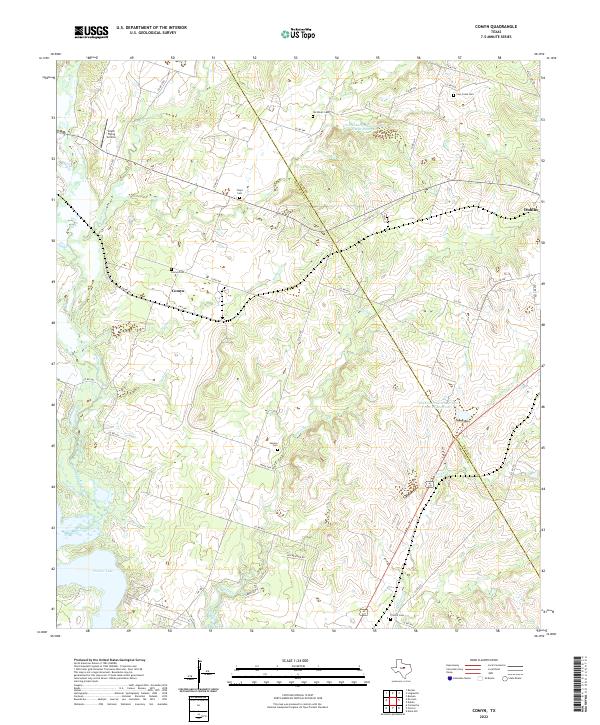 2022 Comyn2022 Print · USGSThe rural borderlands between Comanche and Erath Counties are captured here in the early twenty-first century. Genealogists and local historians can trace family ties through numerous burial sites like Cow Creek Cem and Floyd Cem, while mapping the drainage of the Leon River and Sowells Creek.
 - 2022 Map of Duster, 2022 Print
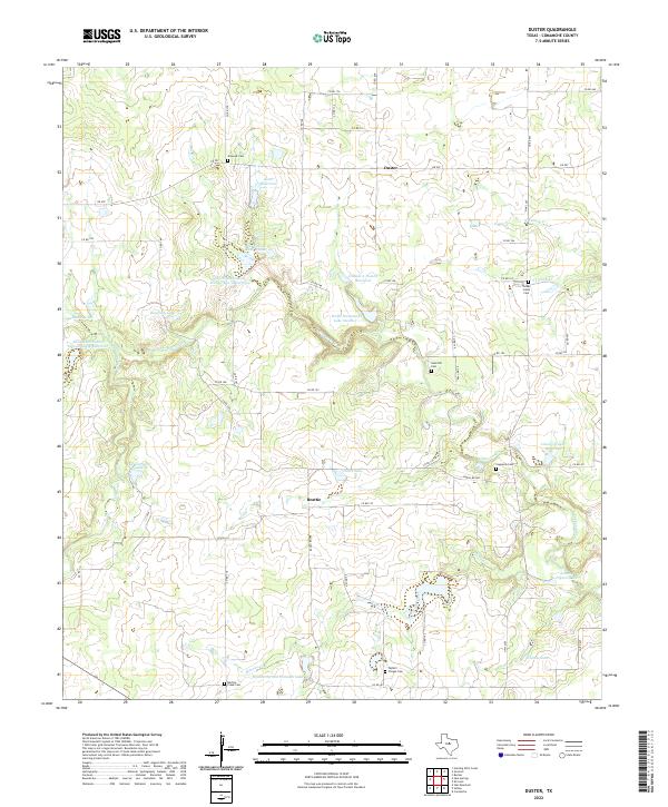 2022 Duster2022 Print · USGSComanche County ranch lands and small rural settlements are documented here in the early 2020s. Genealogists and local historians can trace burial sites across the landscape, from Copperas Cem and Sand Hill Cem to Taylors Chapel Cem near Martins Cr.
 - 2022 Map of Rucker, 2022 Print
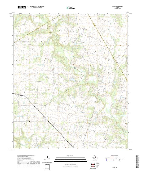 2022 Rucker2022 Print · USGSCentral Texas ranching country comes into focus here during the early twenty-first century, specifically where the Leon and Sabana rivers meet. Researchers can trace family history at Oliver Springs Cem and Liberty Cem or explore the rural community of Rucker.
 - 2022 Map of Sipe Springs, 2022 Print
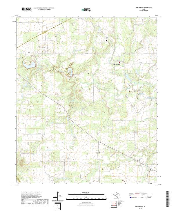 2022 Sipe Springs2022 Print · USGSSipe Springs and the surrounding Comanche County ranch lands are detailed here in the 2020s. Genealogists can locate several historic burial sites, including Parker Cem, Stag Creek Cem, and Sipe Springs Cem, alongside local landmarks like Railroad Lake and Keys Br.
 - 2022 Map of Gorman, 2022 Print
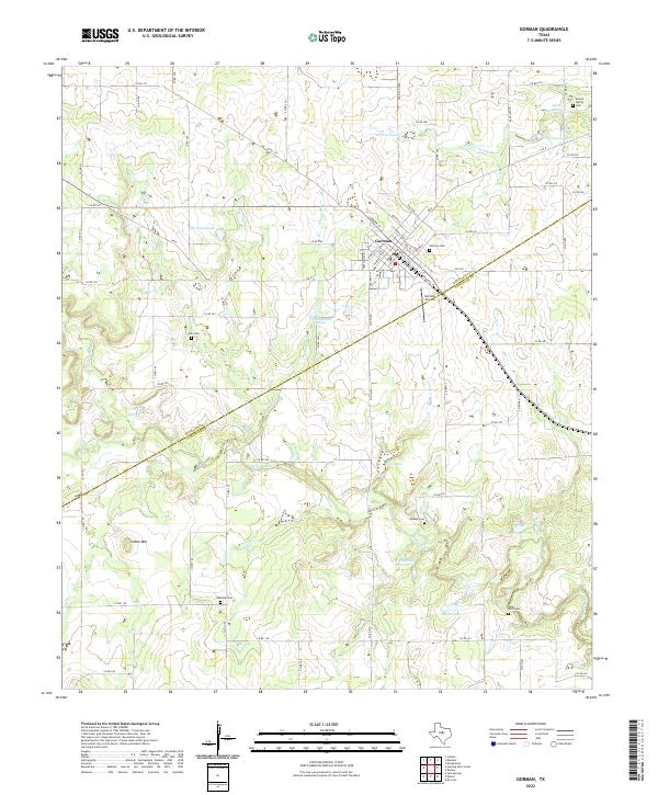 2022 Gorman2022 Print · USGSGorman sits at the crossroads of Eastland and Comanche Counties in this contemporary survey of the Texas ranchlands. Researchers can locate numerous family burial sites such as Oakland Cem and Elm Cem, or trace water resources like the W E Dennis Reservoir.
 - 2022 Map of Lingleville, 2022 Print
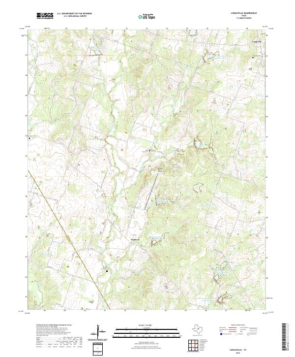 2022 Lingleville2022 Print · USGSModern ranching and deep-rooted Texas history meet along the Erath and Comanche county line in this 2020s study. Genealogists can locate family burial sites at Round Grove Cem and Beth Haven Cem while tracing the waters of the Leon River.
 - 2022 Map of De Leon, 2022 Print
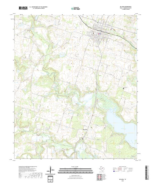 2022 De Leon2022 Print · USGSDe Leon and its surrounding Comanche County ranchlands are detailed in this recent survey. Genealogists and local historians can pinpoint the Old De Leon Cem, the rural settlement of Downing, and the expansive waters of Proctor Lake.
 - 2022 Map of Desdemona, 2022 Print
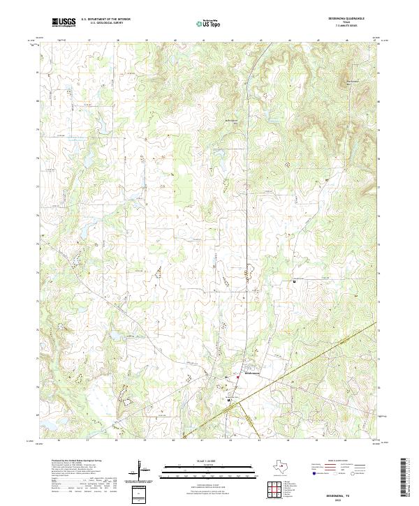 2022 Desdemona2022 Print · USGSThe community of Desdemona sits at a tri-county junction in West Texas during the early 2020s, surrounded by ranching lands and seasonal creek beds. Genealogists and local historians can trace property boundaries and landmarks like Desdemona Cem, Howard Cem, and Mockingbird Hill.
 - 2022 Map of Indian Gap, 2022 Print
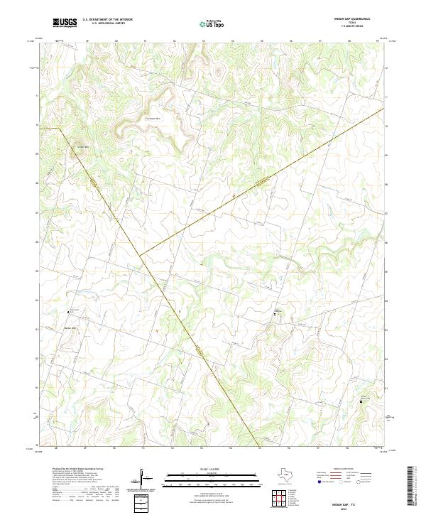 2022 Indian Gap2022 Print · USGSThe ranching country where Hamilton, Comanche, and Mills counties intersect is captured here in the early twenty-first century. Researchers can trace rural family roots at several documented burial sites, including Indian Gap Cem and the Spivey - Baxter Cem.
 - 2022 Map of Sidney, 2022 Print
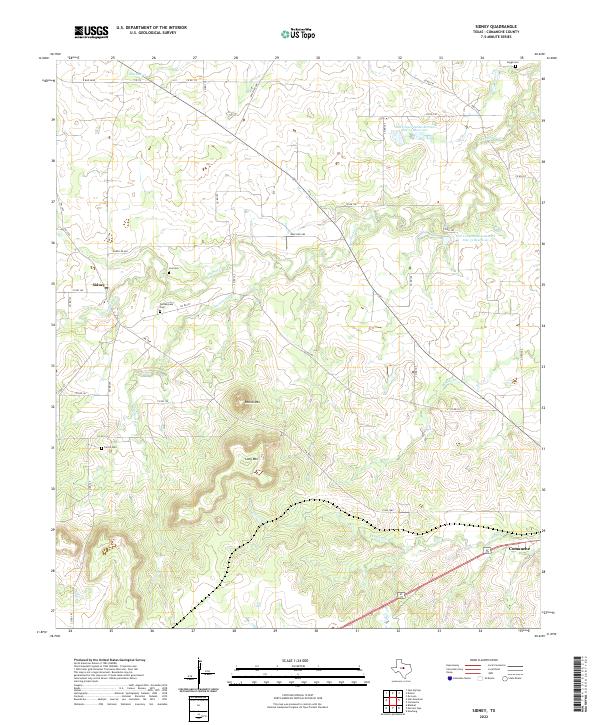 2022 Sidney2022 Print · USGSIn this modern Comanche County survey, the rural landscape near Sidney is mapped as it appeared in the early 2020s. Researchers can locate numerous family-named burial sites like Pendergrass Cem and Ferrill Cem or trace the creeks below Long Mtn.
 - 2022 Map of Democrat, 2022 Print
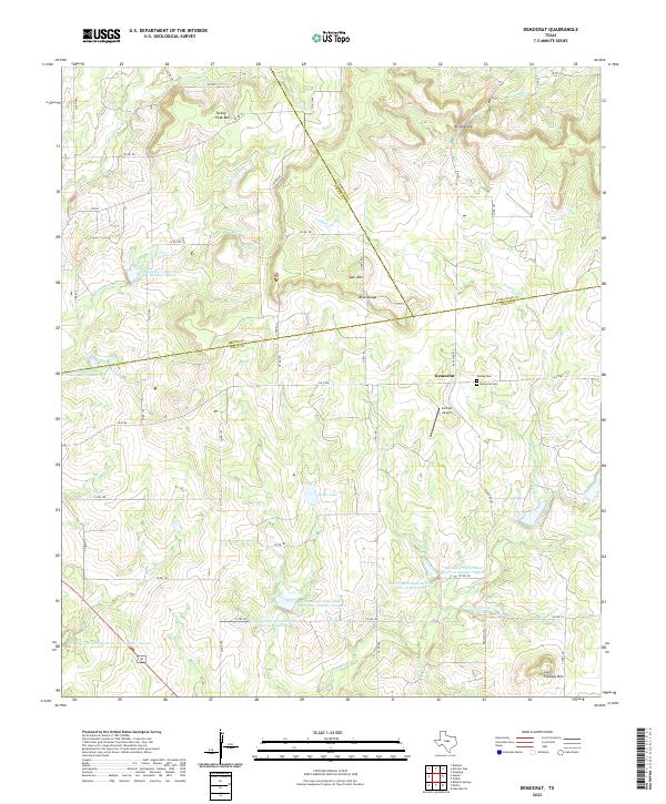 2022 Democrat2022 Print · USGSThe rural crossroads of Democrat and the surrounding ranchlands are documented in this 2022 survey of Central Texas. Researchers can locate family landmarks like Dudley Cem, fly-in points like Carlisle Airport, and notable peaks including Turkey Peak Mtn.
 - 2022 Map of Edna Hill, 2022 Print
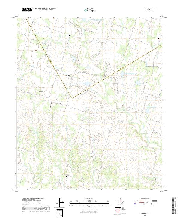 2022 Edna Hill2022 Print · USGSThe ranch lands of the Texas Hill Country transition into the plains near Edna Hill in this recent 2022 survey. Genealogists and local historians can locate several family burial sites including Barbee Cemetery and Hazeldell Cemetery.
 - 2022 Map of Priddy, 2022 Print
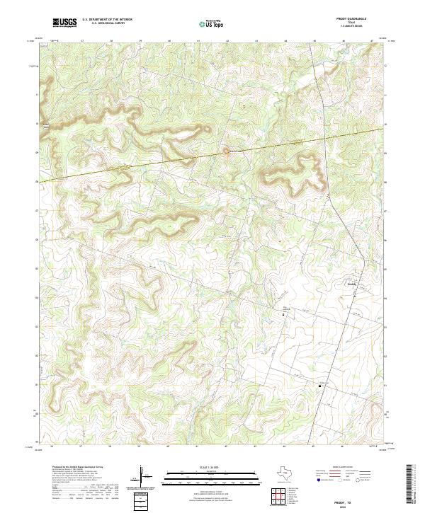 2022 Priddy2022 Print · USGSThe ranchlands surrounding Priddy are captured here in the early twenty-first century, spanning the Comanche and Mills County line. Genealogists can trace local family landmarks and burial sites such as Zion Lutheran Cem, Priddy Cem, and Taterhill Mtn.
 - 2022 Map of Blanket, 2022 Print
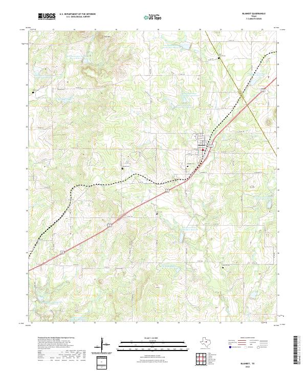 2022 Blanket2022 Print · USGSThe rural landscapes of Brown and Comanche counties come to life in this contemporary survey of the area around Blanket. Genealogists and local historians can trace family roots through numerous sites like Rock Church Cem, Eureka Cem, and Moro Cem.
 - 2022 Map of Carlton, 2022 Print
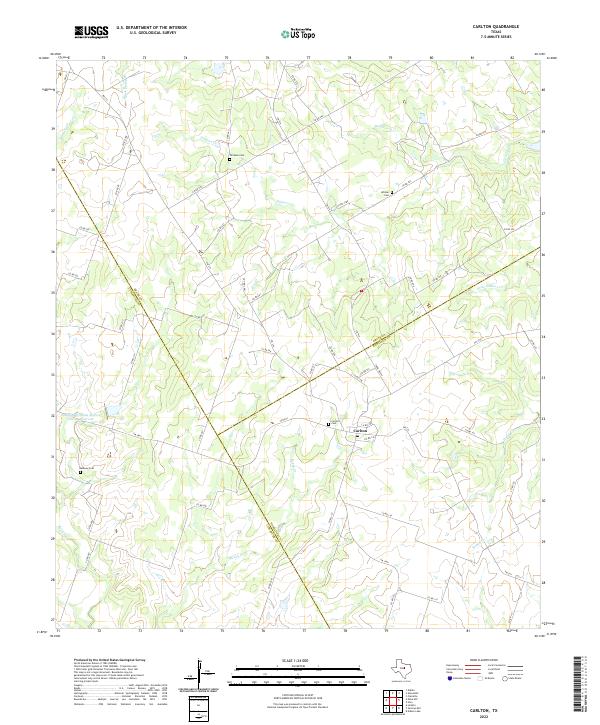 2022 Carlton2022 Print · USGSCentered on the community of Carlton in the early twenty-first century, this map shows the rural intersections of Hamilton and Erath counties. Genealogists can locate several local landmarks including Carlton Cem, Midway Cem, and the waters of Wolf Prong Cr.
 - 2022 Map of Gentrys Mill, 2022 Print
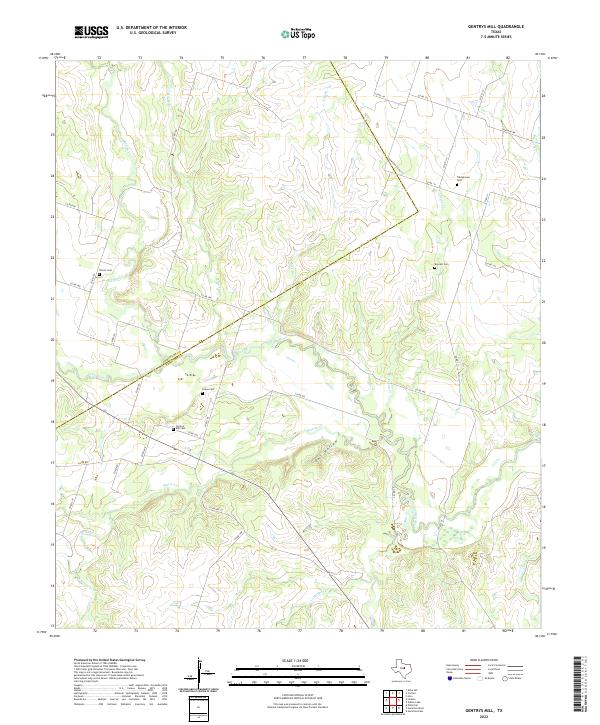 2022 Gentrys Mill2022 Print · USGSThe Leon River valley along the Comanche and Hamilton county line is captured here in 2022. Genealogists can trace local heritage through several family-named landmarks including Gentrys Mill Cem, Tillinghouse Cem, and Barnett Cem.
 - 2022 Map of Gustine, 2022 Print
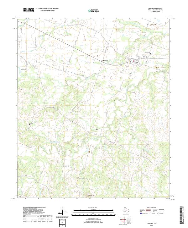 2022 Gustine2022 Print · USGSThe community of Gustine and its surrounding Comanche County ranchlands are documented in this contemporary survey. Genealogists can trace family sites at Evergreen Cem or Union Cem and locate landmarks like Cowhouse Mtn.
 - 2022 Map of Pottsville, 2022 Print
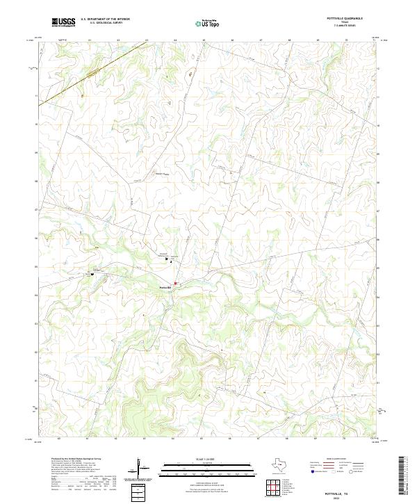 2022 Pottsville2022 Print · USGSHamilton County ranching country is shown here in the early twenty-first century, centered on the settlement of Pottsville. Genealogists can locate family burial sites including Rea Family Cem, Trinity Lutheran Cem, and Pottsville Cem tucked among the drainages of Cowhouse Cr.
 - 2022 Map of Mercers Gap, 2022 Print
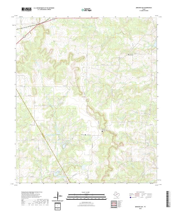 2022 Mercers Gap2022 Print · USGSThe rural divide of Comanche and Brown counties comes to life in this modern survey of the Central Texas ranchlands. Researchers can locate the historic Mercers Gap Cem, trace the waters of Dry Blanket Cr, and find the White Point Church Cem.
 - 2022 Map of Lamkin, 2022 Print
 2022 Lamkin2022 Print · USGSComanche and Hamilton counties come together along the Leon River in this contemporary survey of the Texas cross timbers. Researchers can trace the rural communities of Siloam and Lamkin, as well as historic burial sites at Siloam Cem and Energy Cem.
 - 2022 Map of Star Mountain, 2022 Print
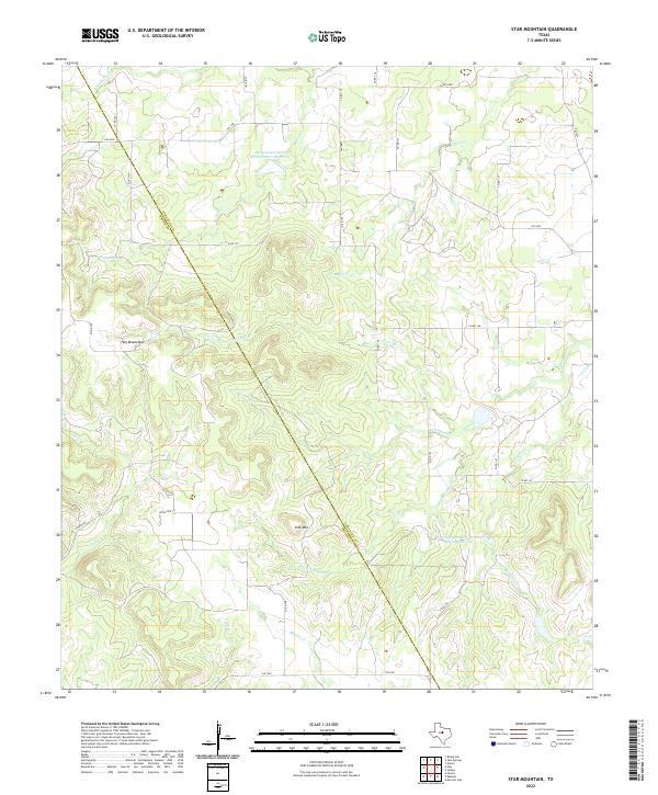 2022 Star Mountain2022 Print · USGSCrossing the county line between Comanche and Brown counties in the early 2020s, this area features a distinct ranching landscape marked by the Hog Mountains. Genealogists and land researchers can trace property boundaries along Patridge Cr and the slopes of Star Mtn.
 - 2022 Map of Rising Star, 2022 Print
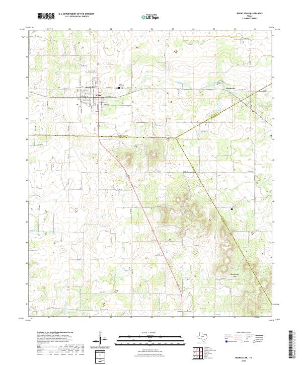 2022 Rising Star2022 Print · USGSThe Texas crossroads of Rising Star and Chuckville are captured here at the triple junction of Eastland, Brown, and Comanche counties. Genealogists and local historians can trace family locations through detailed street names and rural landmarks like Wolf Valley Cem and Rattlesnake Gap.
 - 2022 Map of Dublin, 2022 Print
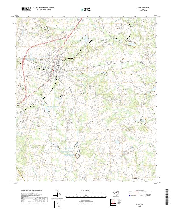 2022 Dublin2022 Print · USGSModern Erath County agriculture and aviation meet at this rural Texas crossroads near the turn of the 21st century. Researchers can trace family sites at Live Oak Cem, locate the smaller settlements of Harbin and Purves, or survey the reaches of Resley Cr.
 - 2022 Map of Proctor, 2022 Print
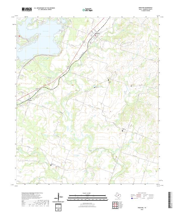 2022 Proctor2022 Print · USGSComanche County landscape in the early 2020s shows a rural Texas community centered around Proctor Lake and the winding Leon River. Researchers can locate several historic burial grounds and churches including Board Church Cem, Luker Cem, and the settlement of Hasse.
Showing maps 1-25 of 27
Top cities of Comanche County
Frequently asked questions
- What are the different types of historical maps available for Comanche County?
- What is the oldest map of Comanche County?
- Where can I purchase historical maps of Comanche County for my home or office?
- Where can I download high-res historical maps of Comanche County?
- Are there historical topographic maps available for Comanche County?
- Is there historical aerial imagery available for Comanche County?
- Where are historical maps of Comanche County sourced from?