Old Maps of Watson, Texas for Hiking & Exploration
Hike through history with 10 historic maps of Watson. Explore old trails, ghost towns, and forgotten backroads — perfect for outdoor adventurers and local explorers.
- Rediscover forgotten places: Map out old mining camps, roads, and footpaths that no longer exist on modern maps.
- Layer with modern tools: Combine with LiDAR or satellite views to plan hikes through historical terrain.
- Made for exploration: Popular among hikers, overlanders, and local history lovers.
Use these maps to find adventure and explore the hidden past of Watson.
Watson, TX maps
(10)- 1889 Map of Brownwood
 1889 Brownwood1889 Print · USGSCentral Texas ranching and rail expansion are captured here in the late nineteenth century. You can trace early family settlements and landmarks like Williams Ranch, Comanche, and the path of the Gulf Colorado and Santa Fe Railroad.
 - 1894 Map of Brownwood
 1894 Brownwood1894 Print · USGSCentral Texas was undergoing a rapid transformation in the late nineteenth century as rail lines began to reshape the cattle country. Researchers can trace the early footprints of Brownwood, locate the historic Williams Ranch, and follow the progress of the Gulf Colorado and Santa Fe Railroad.6 unique versions available
 - 1954 Map of Brownwood, 1955 Print
 1954 Brownwood1955 Print · USGSCentral Texas in the early fifties shows a landscape of rail-linked cattle towns and winding river valleys before modern highway expansion. Genealogists and historians can trace family-named peaks and vanished rail stops like Trickham, Santa Anna, and the Brady Mountains.3 unique versions available
 - 1969 Map of Mercers Gap, 1972 Print
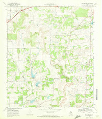 1969 Mercers Gap1972 Print · USGSThe Comanche and Brown County borderlands come into focus in the late 1960s as a landscape of gaps and railroads. Researchers can trace the Atchison Topeka and Santa Fe line through Watson or locate rural landmarks like White Point Ch and Dudley Airfield.
 - 1985 Map of Comanche
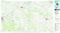 1985 Comanche1985 Print · USGSCentral Texas in the mid-eighties shows a landscape of established ranching towns and expanding reservoirs. Trace the family-named gaps and summits from Mercers Gap to Hog Mountains, alongside smaller settlements like Gentrys Mill and Hazeldell.2 unique versions available
 - 2010 Map of Mercers Gap, 2010 Print
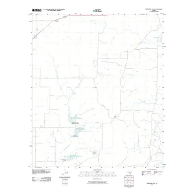 2010 Mercers Gap2010 Print · USGSCovers Watson, including Brown County, Comanche County, and other nearby areas
 - 2012 Map of Mercers Gap, 2012 Print
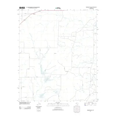 2012 Mercers Gap2012 Print · USGSCovers Watson, including Brown County, Comanche County, and other nearby areas
 - 2016 Map of Mercers Gap, 2016 Print
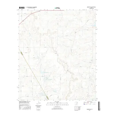 2016 Mercers Gap2016 Print · USGSCovers Watson, including Brown County, Comanche County, and other nearby areas
 - 2019 Map of Mercers Gap, 2019 Print
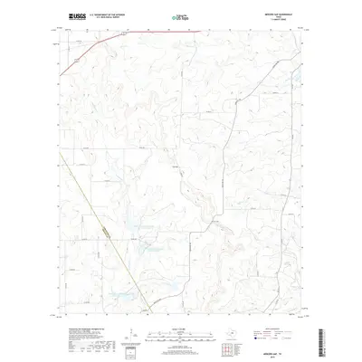 2019 Mercers Gap2019 Print · USGSCovers Watson, including Brown County, Comanche County, and other nearby areas
 - 2022 Map of Mercers Gap, 2022 Print
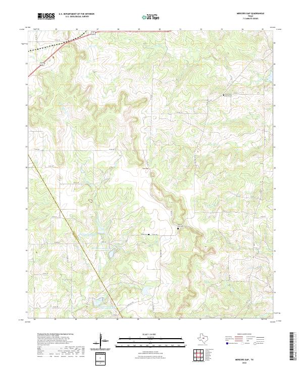 2022 Mercers Gap2022 Print · USGSThe rural divide of Comanche and Brown counties comes to life in this modern survey of the Central Texas ranchlands. Researchers can locate the historic Mercers Gap Cem, trace the waters of Dry Blanket Cr, and find the White Point Church Cem.
End of results
Showing maps 1-10 of 10
Top cities near Watson
Frequently asked questions
- What are the different types of historical maps available for Watson?
- What is the oldest map of Watson?
- Where can I purchase historical maps of Watson for my home or office?
- Where can I download high-res historical maps of Watson?
- Are there historical topographic maps available for Watson?
- Is there historical aerial imagery available for Watson?
- Where are historical maps of Watson sourced from?