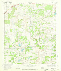
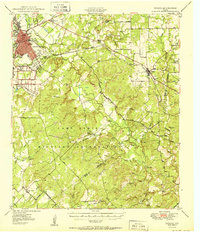
1969 Map of Mercers Gap
USGS Topo · Published 1972About this map
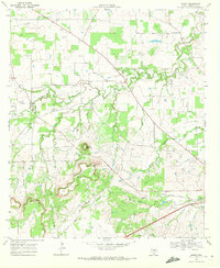
Mercers Gap and Cox Gap define the rugged topography of this central Texas landscape where the Comanche and Brown County line cuts across rural terrain. The northern reaches are shaped by the Atchison Topeka and Santa Fe railroad corridor, which passes through the small settlement of Watson. Aviation history is represented by Dudley Airfield, situated near the headwaters of Mercer Creek.
Find a feature on this map
19 named features on this map. Tap any name to fly to it.
Don’t see what you’re looking for? This feature index may not catch every label — zoom into the map to look around manually.
Map Details
Editions of this 1969 Mercers Gap Map
This is the sole edition of this map. No revisions or reprints were ever made.
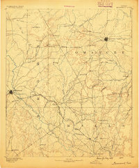
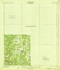
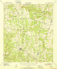
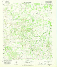
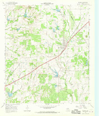
Other maps of this area

1889 · Brownwood
USGS Topo · 1:125,000
1894 · Brownwood
USGS Topo · 1:125,000
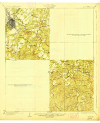
1928 · Zephyr
USGS Topo · 1:62,500
1931 · Mullin
USGS Topo · 1:62,500
1950 · Zephyr
USGS Topo · 1:62,500
1950 · Mullin
USGS Topo · 1:62,500

1954 · Brownwood
USGS Topo · 1:250,000
1966 · Star Mountain
USGS Topo · 1:24,000
1966 · Blanket
USGS Topo · 1:24,000
1969 · Sidney
USGS Topo · 1:24,000