Old Maps of Purmela, Texas for Metal Detecting
Plan your next treasure hunt with 14 historic maps of Purmela. Find old homesites, ghost towns, trails, and gathering spots that may be lost to time — perfect for identifying promising metal detecting locations.
- Locate forgotten sites: Uncover places like long-lost settlements, abandoned rail lines, or gathering spots.
- Plan better hunts: Use map overlays combined with LiDAR or satellite views to narrow in on historically rich areas.
- Made for detectorists: Thousands of hobbyists use these maps to discover relics, coins, and hidden history.
Use these historic maps to boost your research and find new opportunities beneath the surface of Purmela.
Purmela, TX maps
(14)- 1894 Map of Gatesville
 1894 Gatesville1894 Print · USGSCentral Texas in the late nineteenth century was a landscape of expanding rail lines and established river settlements. Genealogists can trace family names across Pidcock Ranch, Fort Gates, and Coperas Cove, while following the path of the St. Louis Arkansas and Texas Railroad.4 unique versions available
 - 1947 Map of Purmela, 1953 Print
 1947 Purmela1953 Print · USGSCentral Texas rural life and military expansion meet in the late 1940s as settlements like Purmela and Pidcoke border federal lands. Genealogists can trace family roots through Slater Cem, Harman Sch, and the Spring Hill Cem.
 - 1947 Map of Purmela, 1953 Print
 1947 Purmela1953 Print · USGSCoryell County ranching country is documented here shortly after the war, showing the network of small settlements and family landmarks. Genealogists can locate family names at Smith Cem, Purmela Sch, and the community of Arnett.
 - 1954 Map of Waco, 1964 Print
 1954 Waco1964 Print · USGSCentral Texas during the mid-fifties shows a landscape defined by the expansion of Fort Hood Military Reservation and the Brazos river system. Trace the rail lines and early airfields like James Connally Air Force Base and settlements like Temple or McGregor.2 unique versions available
 - 1955 Map of Waco
 1955 Waco1955 Print · USGSCentral Texas at the peak of the Cold War reveals a landscape defined by military expansion and major water projects. Researchers can trace the footprints of Fort Hood, the waters of Lake Waco, and regional hubs like Temple or Mexia.
 - 1957 Map of Purmela, 1961 Print
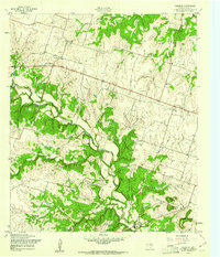 1957 Purmela1961 Print · USGSCoryell County during the late fifties reveals a landscape of small rural hubs and ranching terrain. Genealogists and local historians can locate family sites such as Smith Cem, the Purmela Sch, and small settlements like Arnett and King.3 unique versions available
 - 1958 Map of Purmela, 1962 Print
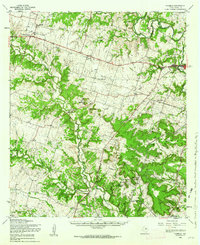 1958 Purmela1962 Print · USGSCoryell County was a landscape of remote farmsteads and military expansion during the late fifties. Genealogists can trace family landmarks like Slater Cem, the Old Railroad Grade, and small community centers at Pidcoke and Arnett.2 unique versions available
 - 1985 Map of Temple
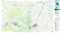 1985 Temple1985 Print · USGSCentral Texas in the mid-eighties shows a landscape of massive defense installations and deep-rooted farming communities. Genealogists and historians can trace the development of Temple and Gatesville, locate the Gatesville State School for Boys, or explore rural outposts like Zabcikville and Westphalia.2 unique versions available
 - 1995 Map of Purmela
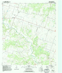 1995 Purmela1995 Print · USGSCoryell County during the mid-nineties shows a rural Texas landscape centered on the winding Cowhouse Creek. Researchers can trace old family sites and rural landmarks like Smith Cem, South Purmela, and the elevations of Culp Mountain.
 - 2010 Map of Purmela, 2010 Print
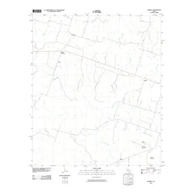 2010 Purmela2010 Print · USGSCovers Purmela, including King, South Purmela, and other nearby areas
 - 2012 Map of Purmela, 2012 Print
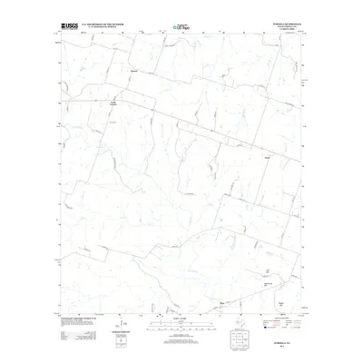 2012 Purmela2012 Print · USGSCovers Purmela, including King, South Purmela, and other nearby areas
 - 2016 Map of Purmela, 2016 Print
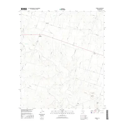 2016 Purmela2016 Print · USGSCovers Purmela, including King, South Purmela, and other nearby areas
 - 2019 Map of Purmela, 2019 Print
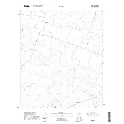 2019 Purmela2019 Print · USGSCovers Purmela, including King, South Purmela, and other nearby areas
 - 2022 Map of Purmela, 2022 Print
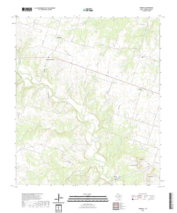 2022 Purmela2022 Print · USGSCoryell County settlement and ranching land are documented here in the early twenty-first century. Genealogists can locate family sites near Smith Cem, Arnett, and the elevated peaks of McCluskey Mtn and Culp Mtn.
End of results
Showing maps 1-14 of 14
Top cities near Purmela
Frequently asked questions
- What are the different types of historical maps available for Purmela?
- What is the oldest map of Purmela?
- Where can I purchase historical maps of Purmela for my home or office?
- Where can I download high-res historical maps of Purmela?
- Are there historical topographic maps available for Purmela?
- Is there historical aerial imagery available for Purmela?
- Where are historical maps of Purmela sourced from?