Old Maps of Chalk, Texas for Hiking & Exploration
Hike through history with 8 historic maps of Chalk. Explore old trails, ghost towns, and forgotten backroads — perfect for outdoor adventurers and local explorers.
- Rediscover forgotten places: Map out old mining camps, roads, and footpaths that no longer exist on modern maps.
- Layer with modern tools: Combine with LiDAR or satellite views to plan hikes through historical terrain.
- Made for exploration: Popular among hikers, overlanders, and local history lovers.
Use these maps to find adventure and explore the hidden past of Chalk.
Chalk, TX maps
(8)- 1954 Map of Lubbock, 1958 Print
 1954 Lubbock1958 Print · USGSThe High Plains and Caprock region of West Texas come alive in the mid-1950s, showing a landscape defined by oil discovery and the Brazos River headwaters. Genealogists and historians can trace rail-connected towns like Roaring Springs, find the Pleasant Valley church, or locate family-named landmarks such as Soldier Mound.4 unique versions available
 - 1968 Map of Chalk, 1970 Print
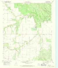 1968 Chalk1970 Print · USGSCottle County ranching and oil country come into focus during the late sixties, showing a landscape defined by water and industry. Trace the legacy of Chalk and Hackberry or locate historical Oil Wells and the North Wichita River.2 unique versions available
 - 1985 Map of Dickens
 1985 Dickens1985 Print · USGSThe West Texas ranchlands near the Dickens and King County lines are shown here in the mid-eighties as a network of rural settlements and canyon terrain. Trace family roots or land boundaries near Roaring Springs, Soldier Mound, or the Fort Worth and Denver Railroad.2 unique versions available
 - 2010 Map of Chalk, 2010 Print
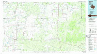
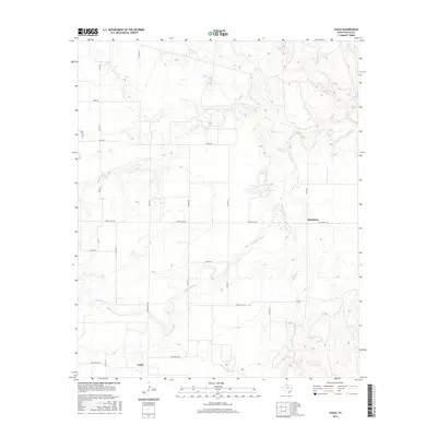
 2010 Chalk2010 Print · USGSCovers Chalk, including Hackberry, Cottle County, and other nearby areas
 - 2012 Map of Chalk, 2012 Print
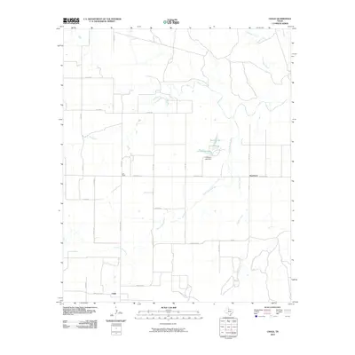
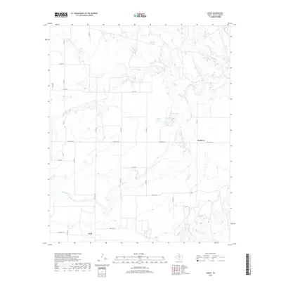
 2012 Chalk2012 Print · USGSCovers Chalk, including Hackberry, Cottle County, and other nearby areas
 - 2016 Map of Chalk, 2016 Print
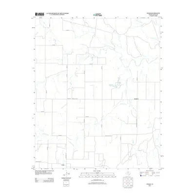
 2016 Chalk2016 Print · USGSCovers Chalk, including Hackberry, Cottle County, and other nearby areas
 - 2019 Map of Chalk, 2019 Print
 2019 Chalk2019 Print · USGSCovers Chalk, including Hackberry, Cottle County, and other nearby areas
 - 2022 Map of Chalk, 2022 Print
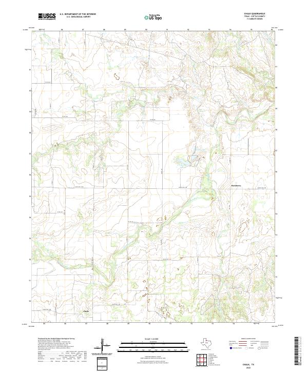 2022 Chalk2022 Print · USGSCottle County ranch lands are documented in this recent survey of the North Texas plains. Researchers can trace the drainage of the N Wichita River and locate rural hubs like Chalk and Hackberry, alongside family landmarks such as Worley Lake.
End of results
Showing maps 1-8 of 8
Top cities near Chalk
Frequently asked questions
- What are the different types of historical maps available for Chalk?
- What is the oldest map of Chalk?
- Where can I purchase historical maps of Chalk for my home or office?
- Where can I download high-res historical maps of Chalk?
- Are there historical topographic maps available for Chalk?
- Is there historical aerial imagery available for Chalk?
- Where are historical maps of Chalk sourced from?