2020s Maps of Cresson, Texas
Explore 3 historic maps of Cresson from the 2020s. These maps offer a rare glimpse into what life looked like during the 2020s — showing old roads, neighborhoods, homes, and landmarks that have changed or disappeared over time.
Whether you're researching your family's past, planning a metal detecting trip, or studying how Cresson's landscape evolved across the 2020s, these high-resolution maps are a powerful tool for exploring the history of this region.
- Focus on a specific era: All maps on this page are from the 2020s, giving you a focused view of this time period.
- See what’s changed: Compare century-old streets, trails, and buildings to today's modern landscape using overlays and satellite layers.
- Research with precision: Use these maps for genealogy, historical research, land use analysis, or educational projects.
- View, download, or print: Maps are fully viewable online in high resolution, and can be downloaded or printed for your own records.
Start exploring Cresson's history through authentic maps from the 2020s. This is your window into the past.
Cresson, TX maps
(3)- 2022 Map of Acton, 2022 Print
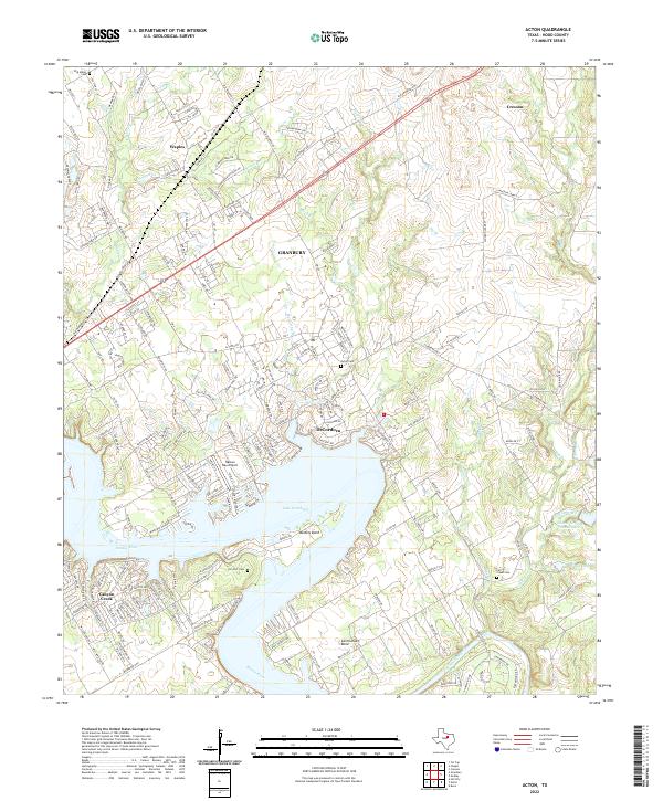 2022 Acton2022 Print · USGSThe Brazos River valley in Hood County shows a landscape transformed by water and suburban growth in the early twenty-first century. Genealogists can locate family sites at Acton Cem, W M Miller Cem, and the community of DeCordova.
 - 2022 Map of Cresson, 2022 Print
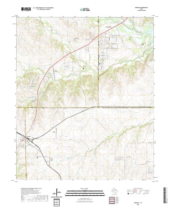 2022 Cresson2022 Print · USGSSettlement patterns at the meeting point of Hood, Johnson, and Parker counties appear here in the early twenty-first century. Researchers can trace family history at the Keyes Cemetery and Corn Cemetery or locate regional airfields like Chigger Field.
 - 2022 Map of Chapin, 2022 Print
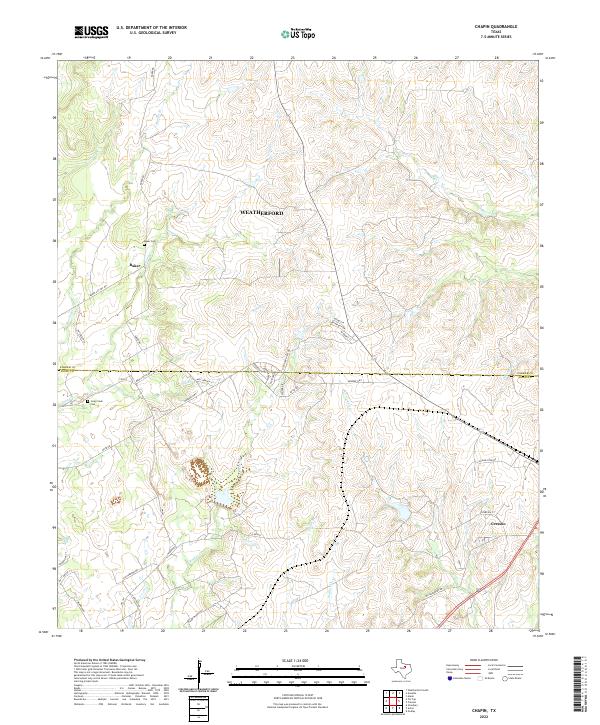 2022 Chapin2022 Print · USGSThe borderlands of Parker and Hood counties are captured here in the early twenty-first century as rural homesteads and ranches begin to meet newer residential growth. Researchers can locate family landmarks such as Baker Cem, Long Creek Cem, and the old community of Baker.
End of results
Showing maps 1-3 of 3
Top cities near Cresson
- Fort Worth historical maps
- Burleson historical maps
- Weatherford historical maps
- Cleburne historical maps
- Benbrook historical maps
- White Settlement historical maps
See more
Frequently asked questions
- What are the different types of historical maps available for Cresson?
- What is the oldest map of Cresson?
- Where can I purchase historical maps of Cresson for my home or office?
- Where can I download high-res historical maps of Cresson?
- Are there historical topographic maps available for Cresson?
- Is there historical aerial imagery available for Cresson?
- Where are historical maps of Cresson sourced from?