Old Maps of Cone, Texas for Academic Research
Study the evolution of Cone with 8 high-resolution historic maps. Whether you're teaching, researching, or modeling changes in land use, these maps provide essential visual documentation of urban, environmental, and geographic change.
- Analyze long-term change: Track patterns in development, transportation, and natural features.
- Ideal for environmental or urban studies: Support academic projects with primary historical map data.
- Use in the classroom or lab: Educators and researchers rely on these maps to bring historical context to life.
These maps are a powerful tool for teaching, research, and visualizing how Cone has changed over the decades.
Cone, TX maps
(8)- 1954 Map of Lubbock, 1958 Print
 1954 Lubbock1958 Print · USGSThe High Plains and Caprock region of West Texas come alive in the mid-1950s, showing a landscape defined by oil discovery and the Brazos River headwaters. Genealogists and historians can trace rail-connected towns like Roaring Springs, find the Pleasant Valley church, or locate family-named landmarks such as Soldier Mound.4 unique versions available
 - 1965 Map of Cone, 1968 Print
 1965 Cone1968 Print · USGSThe High Plains along the Crosby and Floyd county line come into focus during the mid-sixties, revealing a landscape of grid-aligned farms and small hamlets. Genealogists can locate the Cone Cem, Cone Elem Sch, and the quiet settlements of Farmer and Mc Coy.
 - 1986 Map of Lubbock
 1986 Lubbock1986 Print · USGSLubbock and the surrounding High Plains are documented in the mid-eighties as a structured grid of agricultural tracts and growing urban centers. Genealogists and local historians can trace family-named areas like Heckville, old rail stops on the Atchison Topeka and Santa Fe, and the winding path of Yellow House Canyon.2 unique versions available
 - 2010 Map of Cone, 2010 Print
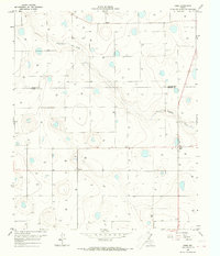
 2010 Cone2010 Print · USGSCovers Cone, including McCoy, Farmer, and other nearby areas
 - 2012 Map of Cone, 2012 Print
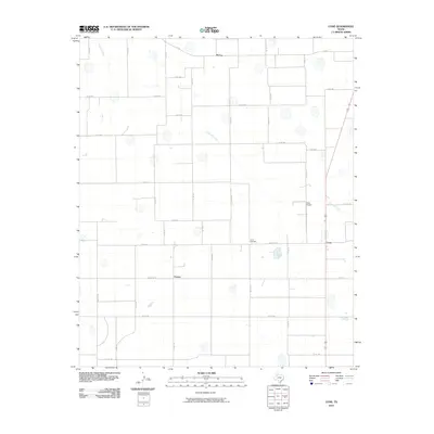
 2012 Cone2012 Print · USGSCovers Cone, including McCoy, Farmer, and other nearby areas
 - 2016 Map of Cone, 2016 Print
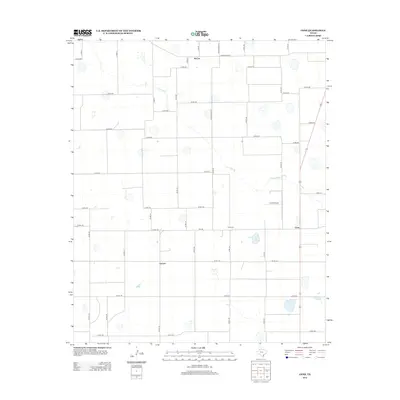
 2016 Cone2016 Print · USGSCovers Cone, including McCoy, Farmer, and other nearby areas
 - 2019 Map of Cone, 2019 Print
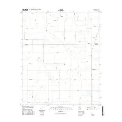
 2019 Cone2019 Print · USGSCovers Cone, including McCoy, Farmer, and other nearby areas
 - 2022 Map of Cone, 2022 Print
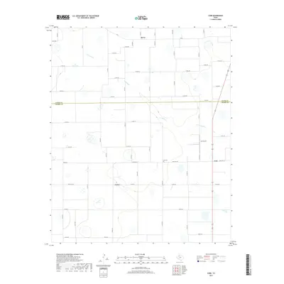
 2022 Cone2022 Print · USGSCrosby and Floyd counties are captured in this modern survey of the Texas High Plains during a period of steady agricultural production. Genealogists and local historians can locate the Cone Cemetery and trace the rural layouts of Cone, Farmer, and McCoy.
End of results
Showing maps 1-8 of 8
Top cities near Cone
- Floydada historical maps
- Ralls historical maps
- Crosbyton historical maps
- Petersburg historical maps
- Lorenzo historical maps
Frequently asked questions
- What are the different types of historical maps available for Cone?
- What is the oldest map of Cone?
- Where can I purchase historical maps of Cone for my home or office?
- Where can I download high-res historical maps of Cone?
- Are there historical topographic maps available for Cone?
- Is there historical aerial imagery available for Cone?
- Where are historical maps of Cone sourced from?