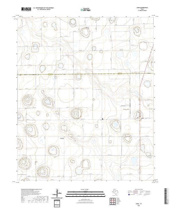
2022 Map of Cone
USGS Topo · Published 2022About this map
Cone serves as a central hub in this high plains landscape on the border of Floyd and Crosby counties. The agricultural settlement pattern is clearly defined by a rigorous grid of county roads, including Co Rd 153 and Co Rd 124, which connect the small communities of Farmer and McCoy. The terrain is marked by numerous small depressions and the drainage of Crawfish Creek, which cuts a winding path through the northern and eastern sections of the quadrangle.
Find a feature on this map
49 named features on this map. Tap any name to fly to it.
Don’t see what you’re looking for? This feature index may not catch every label — zoom into the map to look around manually.
Map Details
Editions of this 2022 Cone Map
This is the sole edition of this map. No revisions or reprints were ever made.
Other maps of this area

1954 · Lubbock
USGS Topo · 1:250,000

1965 · Petersburg
USGS Topo · 1:24,000

1965 · Lorenzo
USGS Topo · 1:24,000

1965 · Cone
USGS Topo · 1:24,000

1965 · Floydada
USGS Topo · 1:24,000

1965 · Floydada SE
USGS Topo · 1:24,000

1965 · Sandhill
USGS Topo · 1:24,000

1967 · Ralls NE
USGS Topo · 1:24,000

1967 · Ralls
USGS Topo · 1:24,000

1968 · Barwise
USGS Topo · 1:24,000