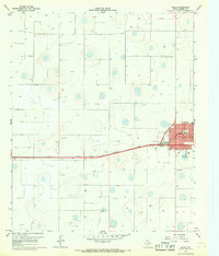
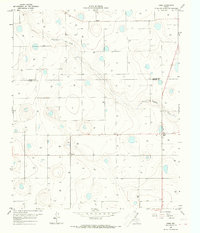
1967 Map of Ralls
USGS Topo · Published 1968About this map
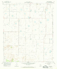
Ralls serves as the focal point of this Crosby County landscape, situated along the Atchison Topeka and Santa Fe railroad line. The town grid is mapped in detail, showing civic and community landmarks such as City Hall, the High Sch, and Lions Park. Residential and commercial growth is evident along named corridors like Tilford Ave and Watts Ave, while the industrial perimeter includes several Borrow Pit excavations and a Gravel Pit to the south.
Find a feature on this map
21 named features on this map. Tap any name to fly to it.
Don’t see what you’re looking for? This feature index may not catch every label — zoom into the map to look around manually.
Map Details
Editions of this 1967 Ralls Map
This is the sole edition of this map. No revisions or reprints were ever made.
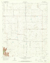
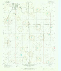
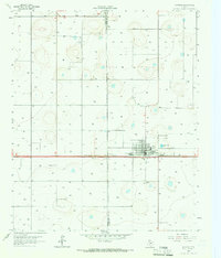
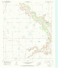
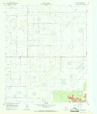
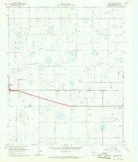
Other maps of this area

1954 · Lubbock
USGS Topo · 1:250,000
1965 · Acuff
USGS Topo · 1:24,000
1965 · Petersburg
USGS Topo · 1:24,000
1965 · Lorenzo
USGS Topo · 1:24,000
1965 · Cone
USGS Topo · 1:24,000
1965 · Floydada SE
USGS Topo · 1:24,000
1967 · Ralls SE
USGS Topo · 1:24,000
1967 · Ralls NE
USGS Topo · 1:24,000
1967 · Savage
USGS Topo · 1:24,000

1986 · Lubbock
USGS Topo · 1:100,000