Old Maps of Pine Springs, Texas for Academic Research
Study the evolution of Pine Springs with 12 high-resolution historic maps. Whether you're teaching, researching, or modeling changes in land use, these maps provide essential visual documentation of urban, environmental, and geographic change.
- Analyze long-term change: Track patterns in development, transportation, and natural features.
- Ideal for environmental or urban studies: Support academic projects with primary historical map data.
- Use in the classroom or lab: Educators and researchers rely on these maps to bring historical context to life.
These maps are a powerful tool for teaching, research, and visualizing how Pine Springs has changed over the decades.
Pine Springs, TX maps
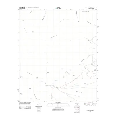
(12)- 1933 Map of Guadalupe Peak
 1933 Guadalupe Peak1933 Print · USGSThe high desert of Culberson County meets the Texas peaks in the 1930s, documenting a landscape of remote ranching outposts and high-altitude mining. Genealogists and historians can trace family-named sites like Ables PO, Williams Ranch, and Sid Ables Well alongside early mountain retreats.6 unique versions available
 - 1940 Map of Guadalupe Peak, 1949 Print
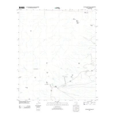
 1940 Guadalupe Peak1949 Print · USGSCulberson County ranching and the high peaks of West Texas are captured here in the decade before the national park's founding. Genealogists and historians can trace family landholdings like Williams Ranch, Hegler Ranch, and the remote settlement at Frijole.2 unique versions available
 - 1954 Map of Van Horn, 1964 Print
 1954 Van Horn1964 Print · USGSThe Trans-Pecos region of West Texas comes into focus in the mid-1950s as a vital corridor of rail and desert commerce. Researchers can trace the path of the Texas and Pacific through Van Horn or locate remote rail sidings like Borracho and Laska Siding.2 unique versions available
 - 1958 Map of Van Horn
 1958 Van Horn1958 Print · USGSWest Texas ranching and rail history come alive in this 1950s survey of the Trans-Pecos desert during the era of major steam-to-diesel transition. Genealogists and historians can trace family-named outposts like Mayfield Ranch or locate the ruins of Presidio Viejo along the Rio Grande.
 - 1973 Map of Guadalupe Peak, 1977 Print
 1973 Guadalupe Peak1977 Print · USGSCulberson County and the New Mexico borderlands are captured here in the early seventies during the rise of the national park. Researchers can trace historic ranching sites like Frijole Ranch, the heights of Guadalupe Peak, and remote outposts such as the Dog Canyon Ranger Sta.
 - 1985 Map of Guadalupe Peak
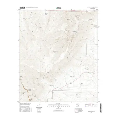
 1985 Guadalupe Peak1985 Print · USGSCulberson County and the rugged Trans-Pecos region are shown in the mid-1980s as a landscape of massive peaks and desert draws. Researchers can trace the historic Butterfield Trail, locate the Old Michigan Mine, and explore the high country of Guadalupe Peak.
 - 1993 Map of Guadalupe Peak
 1993 Guadalupe Peak1993 Print · USGSThe high peaks of West Texas and the New Mexico borderlands are documented in the early 1990s as the national park landscape meets the surrounding ranchlands. Genealogists and historians can trace the historic Butterfield Trail and locate sites like Nickel Creek Station and the Old Michigan Mine.
 - 2011 Map of Guadalupe Peak, 2011 Print
 2011 Guadalupe Peak2011 Print · USGSCovers Pine Springs, including Culberson County, United States, and other nearby areas
 - 2013 Map of Guadalupe Peak, 2013 Print
 2013 Guadalupe Peak2013 Print · USGSCovers Pine Springs, including Culberson County, United States, and other nearby areas
 - 2016 Map of Guadalupe Peak, 2016 Print
 2016 Guadalupe Peak2016 Print · USGSCovers Pine Springs, including Culberson County, United States, and other nearby areas
 - 2019 Map of Guadalupe Peak, 2019 Print
 2019 Guadalupe Peak2019 Print · USGSCovers Pine Springs, including Culberson County, United States, and other nearby areas
 - 2022 Map of Guadalupe Peak, 2022 Print
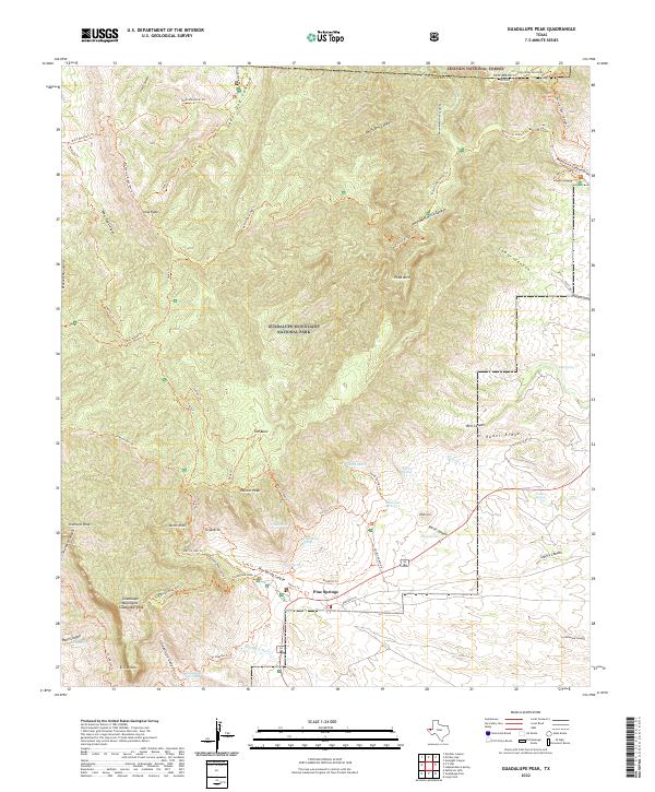 2022 Guadalupe Peak2022 Print · USGSCulberson County's high desert reaches its peak at the New Mexico border in this 2022 survey. Hikers and historians can trace the paths around Pine Springs, the limestone face of El Capitan, and remote water sources like Guadalupe Spring.
End of results
Showing maps 1-12 of 12
Frequently asked questions
- What are the different types of historical maps available for Pine Springs?
- What is the oldest map of Pine Springs?
- Where can I purchase historical maps of Pine Springs for my home or office?
- Where can I download high-res historical maps of Pine Springs?
- Are there historical topographic maps available for Pine Springs?
- Is there historical aerial imagery available for Pine Springs?
- Where are historical maps of Pine Springs sourced from?