
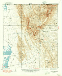
1940 Map of Guadalupe Peak
USGS Topo · Published 1949About this map
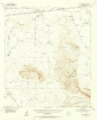
Guadalupe Peak towers over the dramatic escarpment of the Guadalupe Mountains in this survey based on 1930s topography. The landscape is defined by its extreme relief, falling from the high high points of Bush Mtn and Bartlett Peak down to the vast Salt Lake flats of Crow Flats to the west. This era shows a sparse network of ranching life and early mountain tourism, anchored by isolated outposts such as Frijole, Williams Ranch, and the Old PX Ranch.
Find a feature on this map
80 named features on this map. Tap any name to fly to it.
Don’t see what you’re looking for? This feature index may not catch every label — zoom into the map to look around manually.
Map Details
Editions of this 1940 Guadalupe Peak Map
2 editions found
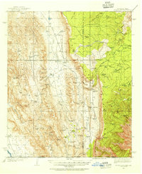
Other maps of this area

1933 · Guadalupe Peak
USGS Topo · 1:48,000
1935 · El Paso Gap
USGS Topo · 1:62,500

1936 · El Paso Gap
USGS Topo · 1:48,000

1940 · El Paso Gap
USGS Topo · 1:62,500
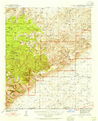
1940 · Carlsbad Caverns West
USGS Topo · 1:62,500

1943 · Carlsbad Caverns West
USGS Topo · 1:62,500
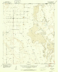
1951 · Dell City
USGS Topo · 1:62,500

1954 · Carlsbad
USGS Topo · 1:250,000

1954 · Van Horn
USGS Topo · 1:250,000
1955 · Black Mountains
USGS Topo · 1:62,500