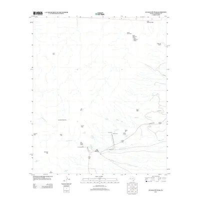
2013 Map of Guadalupe Peak
USGS Topo · Published 2013About this map
The high peaks of the Guadalupe Mountains define this corner of the Trans-Pecos, featuring the highest point in Texas at Guadalupe Peak. Below the dramatic limestone face of El Capitan, the landscape transitions into the drainage of the Delaware River and Nickel Cr. The 2013 survey illustrates the balance between the preserved wilderness of Guadalupe Mountains National Park and the area's ranching heritage, visible at Frijole Ranch and Ligon Ranch. Water is the critical factor in this arid environment, marked by a series of essential sources including Smith Spring, Juniper Spring, and Manzanita Spring. Near the road junction at Pine Springs, the Pine Spring Campground serves as a modern hub for visitors within the same canyons where early settlers established the Guadalupe Ranch. The terrain is deeply incised by canyons such as Pine Spring Canyon and Smith Canyon, which lead toward the high ridges of Hunter Peak and the unique forested bowl known simply as The Bowl.
Find a feature on this map
44 named features on this map. Tap any name to fly to it.
Don’t see what you’re looking for? This feature index may not catch every label — zoom into the map to look around manually.
Map Details
Editions of this 2013 Guadalupe Peak Map
This is the sole edition of this map. No revisions or reprints were ever made.
Other maps of this area

1933 · Guadalupe Peak
USGS Topo · 1:48,000

1935 · El Paso Gap
USGS Topo · 1:62,500

1936 · El Paso Gap
USGS Topo · 1:48,000

1940 · El Paso Gap
USGS Topo · 1:62,500

1940 · Guadalupe Peak
USGS Topo · 1:62,500

1940 · Carlsbad Caverns West
USGS Topo · 1:62,500

1943 · Carlsbad Caverns West
USGS Topo · 1:62,500

1954 · Carlsbad
USGS Topo · 1:250,000

1954 · Van Horn
USGS Topo · 1:250,000

1958 · Van Horn
USGS Topo · 1:250,000